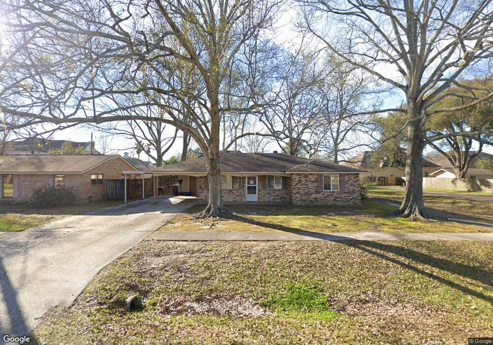
1791 McQuaid Dr Baton Rouge, LA 70810
Oak Hills Place NeighborhoodEstimated Value: $199,661 - $222,000
4
Beds
2
Baths
1,688
Sq Ft
$126/Sq Ft
Est. Value
About This Home
This home is located at 1791 McQuaid Dr, Baton Rouge, LA 70810 and is currently estimated at $212,415, approximately $125 per square foot. 1791 McQuaid Dr is a home located in East Baton Rouge Parish with nearby schools including Woodlawn Middle School, Woodlawn High School, and Montessori School of Baton Rouge.
Ownership History
Date
Name
Owned For
Owner Type
Purchase Details
Closed on
Sep 28, 1998
Sold by
Matkin James C
Bought by
Saizan Viki Marie and Carter Sharon Saizan
Current Estimated Value
Home Financials for this Owner
Home Financials are based on the most recent Mortgage that was taken out on this home.
Original Mortgage
$76,278
Interest Rate
6.83%
Mortgage Type
FHA
Create a Home Valuation Report for This Property
The Home Valuation Report is an in-depth analysis detailing your home's value as well as a comparison with similar homes in the area
Home Values in the Area
Average Home Value in this Area
Purchase History
| Date | Buyer | Sale Price | Title Company |
|---|---|---|---|
| Saizan Viki Marie | $78,000 | -- |
Source: Public Records
Mortgage History
| Date | Status | Borrower | Loan Amount |
|---|---|---|---|
| Previous Owner | Saizan Viki Marie | $76,278 |
Source: Public Records
Tax History Compared to Growth
Tax History
| Year | Tax Paid | Tax Assessment Tax Assessment Total Assessment is a certain percentage of the fair market value that is determined by local assessors to be the total taxable value of land and additions on the property. | Land | Improvement |
|---|---|---|---|---|
| 2024 | $1,777 | $22,503 | $1,200 | $21,303 |
| 2023 | $1,777 | $18,180 | $1,200 | $16,980 |
| 2022 | $2,105 | $18,180 | $1,200 | $16,980 |
| 2021 | $2,065 | $18,180 | $1,200 | $16,980 |
| 2020 | $2,051 | $18,180 | $1,200 | $16,980 |
| 2019 | $1,732 | $14,700 | $1,200 | $13,500 |
| 2018 | $1,709 | $14,700 | $1,200 | $13,500 |
| 2017 | $1,709 | $14,700 | $1,200 | $13,500 |
| 2016 | $832 | $14,700 | $1,200 | $13,500 |
| 2015 | $698 | $13,400 | $1,200 | $12,200 |
| 2014 | $683 | $13,400 | $1,200 | $12,200 |
| 2013 | -- | $13,400 | $1,200 | $12,200 |
Source: Public Records
Map
Nearby Homes
- 9512 Siegen Ln
- 1878 Mullen Dr
- 662 Wheatsheaf Dr
- 750 Wheatsheaf Dr
- 1922 Mullen Dr
- 13065 Briar Hollow Ave Unit 7
- 843 Carnforth Dr
- 1434 Charing Cross Dr
- 7356 Meadowview Ave
- 1342 Barkley Dr
- 12092 S Tom Stokes Ct
- 12115 Mirkwood Ave
- 8311 Oakbrook Dr
- 13650 Kenner Ave Unit D
- 1821 Hobbiton Rd
- 902 Woodhue Dr
- 9142 Metairie Dr
- 9136 Metairie Dr
- 9130 Metairie Dr
- 2070 Michel Delving Rd
- 1787 McQuaid Dr
- 1813 McQuaid Dr
- 1785 McQuaid Dr
- 9191 Siegen Ln Unit 6A
- 1786 McQuaid Dr
- 1780 McQuaid Dr
- 1771 McQuaid Dr
- 1772 McQuaid Dr
- 1833 McQuaid Dr
- 1767 McQuaid Dr
- 1822 McQuaid Dr
- 1754 McQuaid Dr
- 1834 McQuaid Dr
- 1789 Lombard Dr
- 1783 Lombard Dr
- 1750 McQuaid Dr
- 1845 McQuaid Dr
- 1825 Lombard Dr
- 1771 Lombard Dr
- 1753 McQuaid Dr