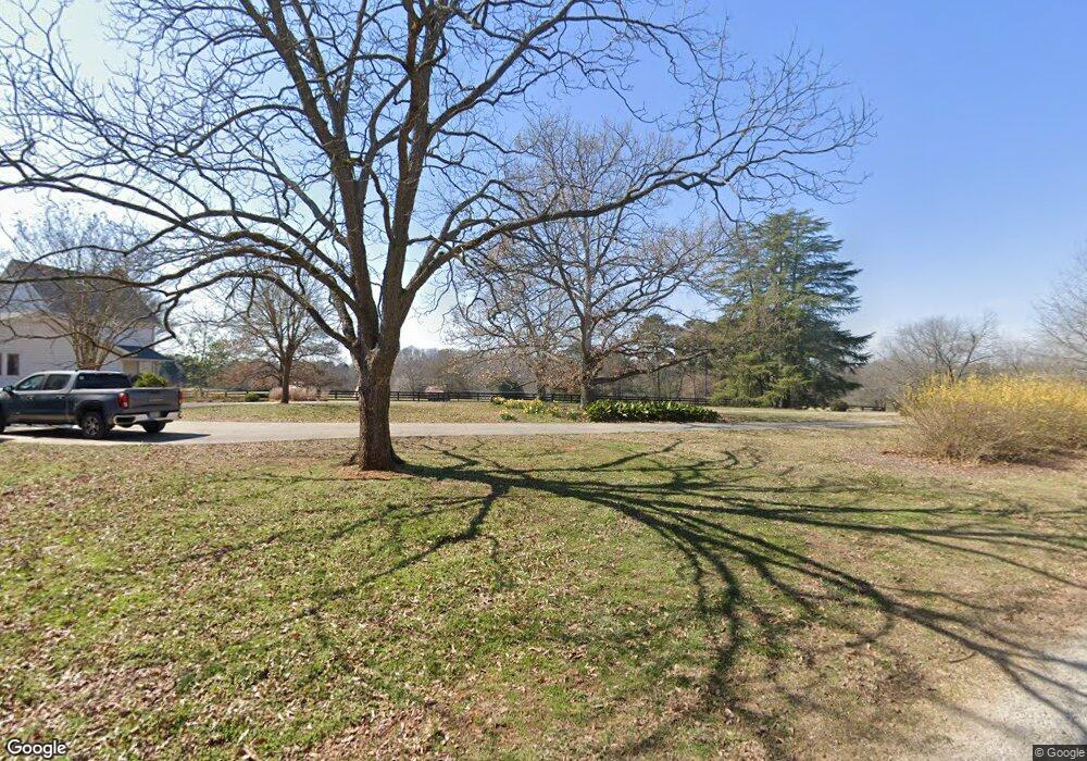
1791 McRees Mill Rd Watkinsville, GA 30677
Estimated Value: $726,000 - $1,203,000
4
Beds
3
Baths
2,796
Sq Ft
$310/Sq Ft
Est. Value
About This Home
This home is located at 1791 McRees Mill Rd, Watkinsville, GA 30677 and is currently estimated at $866,297, approximately $309 per square foot. 1791 McRees Mill Rd is a home located in Oconee County with nearby schools including Colham Ferry Elementary School, Oconee County Middle School, and Oconee County High School.
Ownership History
Date
Name
Owned For
Owner Type
Purchase Details
Closed on
May 8, 2014
Sold by
Smith Deborah A
Bought by
Smith Charles R
Current Estimated Value
Purchase Details
Closed on
Apr 29, 2005
Sold by
Coker Keith R
Bought by
Smith Charles R and Smith Deborah A
Home Financials for this Owner
Home Financials are based on the most recent Mortgage that was taken out on this home.
Original Mortgage
$565,621
Interest Rate
5.98%
Mortgage Type
New Conventional
Purchase Details
Closed on
Mar 26, 2001
Sold by
Coker Keith R
Bought by
Coker Keith R
Purchase Details
Closed on
Dec 4, 2000
Sold by
Brinegar Jerry L
Bought by
Mcwhorter Jodie
Purchase Details
Closed on
May 27, 1997
Sold by
Doerr Suzanne B
Bought by
Brinegar Jerry L
Create a Home Valuation Report for This Property
The Home Valuation Report is an in-depth analysis detailing your home's value as well as a comparison with similar homes in the area
Home Values in the Area
Average Home Value in this Area
Purchase History
| Date | Buyer | Sale Price | Title Company |
|---|---|---|---|
| Smith Charles R | -- | -- | |
| Smith Charles R | $575,000 | -- | |
| Coker Keith R | -- | -- | |
| Mcwhorter Jodie | $420,000 | -- | |
| Brinegar Jerry L | $185,000 | -- |
Source: Public Records
Mortgage History
| Date | Status | Borrower | Loan Amount |
|---|---|---|---|
| Previous Owner | Smith Charles R | $565,621 |
Source: Public Records
Tax History Compared to Growth
Tax History
| Year | Tax Paid | Tax Assessment Tax Assessment Total Assessment is a certain percentage of the fair market value that is determined by local assessors to be the total taxable value of land and additions on the property. | Land | Improvement |
|---|---|---|---|---|
| 2024 | $3,014 | $298,284 | $165,720 | $132,564 |
| 2023 | $3,014 | $267,435 | $140,441 | $126,994 |
| 2022 | $2,844 | $228,800 | $117,036 | $111,764 |
| 2021 | $2,314 | $203,477 | $106,395 | $97,082 |
| 2020 | $2,218 | $197,252 | $104,308 | $92,944 |
| 2019 | $1,991 | $170,217 | $86,924 | $83,293 |
| 2018 | $2,008 | $157,905 | $75,586 | $82,319 |
| 2017 | $1,918 | $147,341 | $68,714 | $78,627 |
| 2016 | $1,900 | $136,128 | $58,124 | $78,004 |
| 2015 | $1,926 | $135,185 | $58,124 | $77,061 |
| 2014 | $1,860 | $127,453 | $52,840 | $74,613 |
| 2013 | -- | $126,404 | $53,181 | $73,222 |
Source: Public Records
Map
Nearby Homes
- 1050 Pembrook Ct
- 1081 Old Mill Dr
- 1200 Ryland Hills Dr
- 1100 Ryland Hills Dr
- 3291 Ryland Hills Dr
- 3191 Ryland Hills Dr
- 3095 Ryland Hills Dr
- 1020 Barnett Place
- 1050 Golf Course Ln
- 3868 Barnett Shoals Rd
- 0 Old Barnett Shoals Rd Unit 22878090
- 3910 S Barnett Shoals Rd
- 1181 Old Barnett Shoals Rd
- 0 S Barnett Shoals Rd Unit CL336112
- 0 S Barnett Shoals Rd Unit 10579614
- 4225 Bob Godfrey Rd
- 1931 Oliver Bridge Rd
- 1191 Old Barnett Shoals Rd
- 4990 Barnett Shoals Rd
- 4081 Greensboro Hwy
- 1801 McRees Mill Rd
- 1070 Pioneer Cir
- 1721 McRees Mill Rd
- 1871 McRees Mill Rd
- 1050 Pioneer Cir
- 2691 Flat Rock Rd
- 1080 Pioneer Cir
- 1780 McRees Mill Rd
- 1810 McRees Mill Rd Unit 1
- 1810 McRee's Mill Rd
- 1810 McRees Mill Rd
- 1020 Pioneer Cir
- 1081 Pioneer Cir
- 1051 Pioneer Cir
- 1110 Pioneer Cir
- 1910 McRee's Mill Rd
- 2650 Flat Rock Rd
- 1011 Pioneer Cir
- 1031 McRee Mill Ln
- 1031 Pioneer Cir