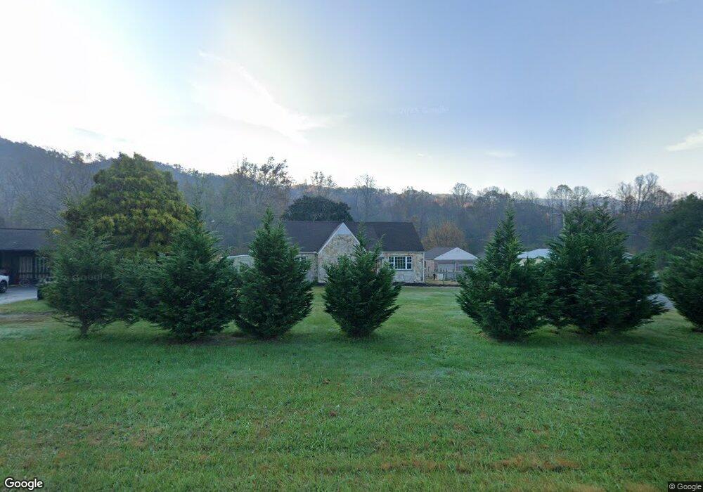
17910 U S 19 Andrews, NC 28901
Estimated Value: $194,000 - $424,000
3
Beds
2
Baths
1,844
Sq Ft
$160/Sq Ft
Est. Value
About This Home
This home is located at 17910 U S 19, Andrews, NC 28901 and is currently estimated at $295,196, approximately $160 per square foot. 17910 U S 19 is a home located in Cherokee County with nearby schools including Andrews Elementary School, Andrews Middle School, and Andrews High School.
Ownership History
Date
Name
Owned For
Owner Type
Purchase Details
Closed on
Mar 1, 2023
Sold by
Cole Postell Jason and Cook Alana
Bought by
Postell Jason Cole and Cook Postell Alana
Current Estimated Value
Home Financials for this Owner
Home Financials are based on the most recent Mortgage that was taken out on this home.
Original Mortgage
$50,000
Outstanding Balance
$48,362
Interest Rate
6.09%
Mortgage Type
Credit Line Revolving
Estimated Equity
$246,834
Purchase Details
Closed on
Apr 26, 2017
Sold by
Brooks Charles Wade and West Brooks Judy Ann
Bought by
Postell Jason Cole
Purchase Details
Closed on
Aug 1, 1985
Bought by
Brooks Judy Ann West
Create a Home Valuation Report for This Property
The Home Valuation Report is an in-depth analysis detailing your home's value as well as a comparison with similar homes in the area
Home Values in the Area
Average Home Value in this Area
Purchase History
| Date | Buyer | Sale Price | Title Company |
|---|---|---|---|
| Postell Jason Cole | -- | -- | |
| Postell Jason Cole | $1,000 | None Available | |
| Brooks Judy Ann West | -- | -- |
Source: Public Records
Mortgage History
| Date | Status | Borrower | Loan Amount |
|---|---|---|---|
| Open | Postell Jason Cole | $50,000 |
Source: Public Records
Tax History Compared to Growth
Tax History
| Year | Tax Paid | Tax Assessment Tax Assessment Total Assessment is a certain percentage of the fair market value that is determined by local assessors to be the total taxable value of land and additions on the property. | Land | Improvement |
|---|---|---|---|---|
| 2025 | $992 | $136,630 | $0 | $0 |
| 2024 | $851 | $115,310 | $0 | $0 |
| 2023 | $842 | $115,520 | $0 | $0 |
| 2022 | $842 | $115,520 | $0 | $0 |
| 2021 | $715 | $115,520 | $6,900 | $108,620 |
| 2020 | $669 | $115,520 | $0 | $0 |
| 2019 | $799 | $125,100 | $0 | $0 |
| 2018 | $799 | $125,100 | $0 | $0 |
| 2017 | $799 | $125,100 | $0 | $0 |
| 2016 | $799 | $125,100 | $0 | $0 |
| 2015 | $799 | $125,100 | $18,800 | $106,300 |
| 2012 | -- | $120,890 | $18,800 | $102,090 |
Source: Public Records
Map
Nearby Homes
- 45 Sulpher Ln
- TBD Mclean Rd
- 465 Robinson Rd
- 317 Robinson Rd
- 2617 Stewart Rd
- 22 Lazy Bear Trail
- 0 Lords Way
- 2 Lords Way
- Lot 22 Laramie Heights
- 2555 Junaluska Rd
- 109 Lazy Bear Trail
- 121 Lazy Bear Trail
- 168 Laramie Heights
- 200 Conager Trail
- 29 Breedlove Dr
- 00 Cahill Dr
- 24 Cahill Dr
- 221 Serenity Ridge Trail
- TBD Collett Woods Trail
- Lot 51 Grand View Falls
- 17910 Us 19
- 17950 Us 19
- 25 Sulpher Ln
- 145 Worm Creek Dr
- 654 Robinson Rd
- 554 Robinson Rd
- 649 Robinson Rd
- 18136 U S Highway 19
- 18160 U S 19
- 550 Robinson Rd
- 550 Robinson Rd
- 0 Robinson Rd Unit 254326
- 147 Robinson Rd
- LOT 3 Robinson Rd
- LOT13 Robinson Rd
- LOT12 Robinson Rd
- LOT 9 Robinson Rd
- LOT11 Robinson Rd
- NA Robinson Rd
- LOT 7 Robinson Rd