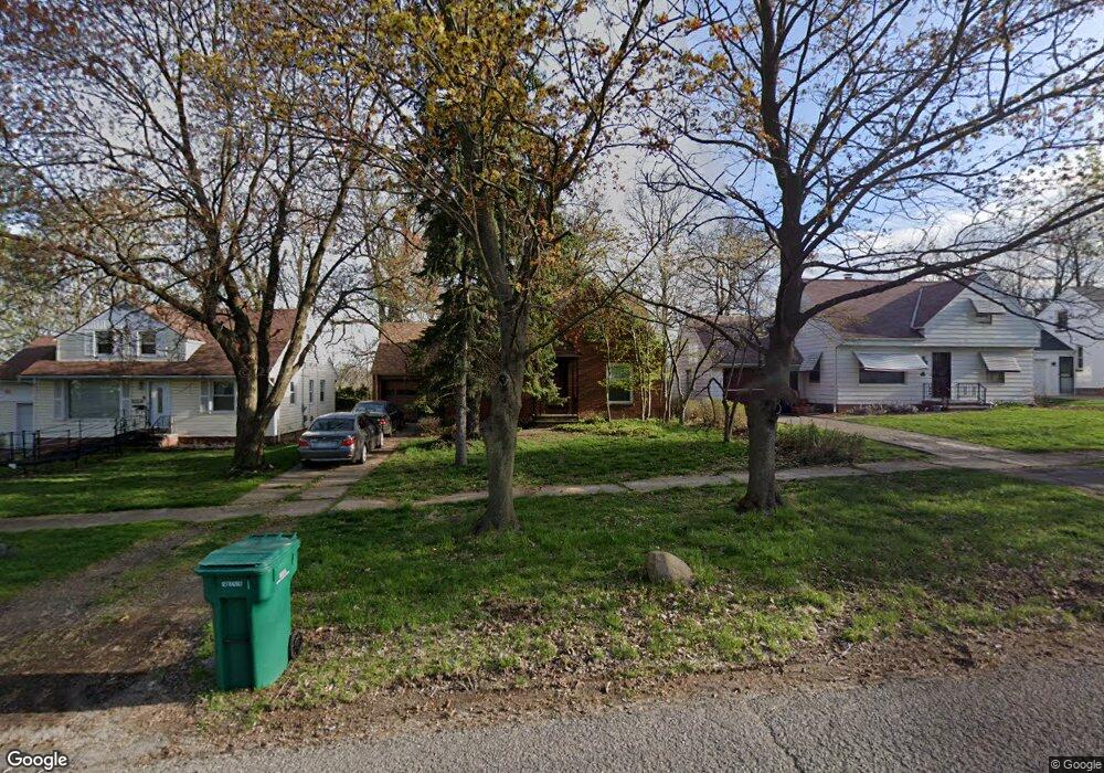
17917 Mccracken Rd Maple Heights, OH 44137
Estimated Value: $125,682 - $148,000
3
Beds
2
Baths
1,326
Sq Ft
$102/Sq Ft
Est. Value
About This Home
This home is located at 17917 Mccracken Rd, Maple Heights, OH 44137 and is currently estimated at $135,421, approximately $102 per square foot. 17917 Mccracken Rd is a home located in Cuyahoga County with nearby schools including Abraham Lincoln Elementary School, Rockside/ J.F. Kennedy School, and Barack Obama School.
Ownership History
Date
Name
Owned For
Owner Type
Purchase Details
Closed on
Apr 15, 1988
Sold by
Shartle Kenneth A
Bought by
Prohonic Daniel A
Current Estimated Value
Purchase Details
Closed on
Aug 24, 1984
Sold by
Allard Darlene D
Bought by
Shartle Kenneth A
Purchase Details
Closed on
Apr 19, 1978
Sold by
Smith Walter J and Smith Georgianne
Bought by
Allard Darlene D
Purchase Details
Closed on
Jan 1, 1975
Bought by
Smith Walter J and Smith Georgianne
Create a Home Valuation Report for This Property
The Home Valuation Report is an in-depth analysis detailing your home's value as well as a comparison with similar homes in the area
Home Values in the Area
Average Home Value in this Area
Purchase History
| Date | Buyer | Sale Price | Title Company |
|---|---|---|---|
| Prohonic Daniel A | $56,000 | -- | |
| Shartle Kenneth A | $53,500 | -- | |
| Allard Darlene D | $42,000 | -- | |
| Smith Walter J | -- | -- |
Source: Public Records
Tax History
| Year | Tax Paid | Tax Assessment Tax Assessment Total Assessment is a certain percentage of the fair market value that is determined by local assessors to be the total taxable value of land and additions on the property. | Land | Improvement |
|---|---|---|---|---|
| 2024 | $2,361 | $35,455 | $9,135 | $26,320 |
| 2023 | $1,352 | $20,790 | $5,250 | $15,540 |
| 2022 | $1,385 | $20,790 | $5,250 | $15,540 |
| 2021 | $1,469 | $20,790 | $5,250 | $15,540 |
| 2020 | $1,045 | $15,750 | $3,990 | $11,760 |
| 2019 | $1,031 | $45,000 | $11,400 | $33,600 |
| 2018 | $1,024 | $15,750 | $3,990 | $11,760 |
| 2017 | $955 | $14,980 | $3,710 | $11,270 |
| 2016 | $917 | $14,980 | $3,710 | $11,270 |
| 2015 | $1,499 | $14,980 | $3,710 | $11,270 |
| 2014 | $1,499 | $16,450 | $4,060 | $12,390 |
Source: Public Records
Map
Nearby Homes
- 5031 Cato St
- 5100 Erwin St
- 5082 Philip Ave
- 17282 Mccracken Rd
- 5150 Arch St
- 18704 Longview Ave
- 5177 Cato St
- 18851 Raymond St
- 4821 E 173rd St
- 5219 Joseph St
- 5239 Arch St
- 18990 Raymond St
- 5231 Philip Ave
- 4744 E 176th St
- 4761 E 173rd St
- 5246 Philip Ave
- 16706 Myrtle Ave
- 17806 Tarkington Ave
- 5212 Catherine St
- 5204 Anthony St
- 17913 Mccracken Rd
- 17991 Mccracken Rd
- 17909 Mccracken Rd
- 18105 Mccracken Rd
- 18111 Mccracken Rd
- 17905 Mccracken Rd
- 18117 Mccracken Rd
- 17901 Mccracken Rd
- 17916 Mccracken Rd
- 5030 Arch St
- 5030 Arch St Unit 2/UP
- 5030 Arch St Unit 1/DN
- 17914 Mccracken Rd
- 17908 Mccracken Rd
- 18108 Mccracken Rd
- 17904 Mccracken Rd
- 18123 Mccracken Rd
- 17781 Mccracken Rd
- 18112 Mccracken Rd
- 17900 Mccracken Rd
Your Personal Tour Guide
Ask me questions while you tour the home.