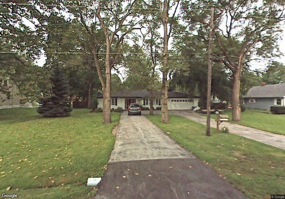
17918 Locust St Lansing, IL 60438
Estimated Value: $253,000
--
Bed
--
Bath
--
Sq Ft
0.3
Acres
About This Home
This home is located at 17918 Locust St, Lansing, IL 60438 and is currently estimated at $253,000. 17918 Locust St is a home located in Cook County with nearby schools including Oak Glen Elementary School, Memorial Jr High School, and Thornton Fractnl So High School.
Ownership History
Date
Name
Owned For
Owner Type
Purchase Details
Closed on
Oct 29, 1993
Sold by
Fernandez John A and Fernandez Kimberly R
Bought by
Tonks Duane J
Current Estimated Value
Home Financials for this Owner
Home Financials are based on the most recent Mortgage that was taken out on this home.
Original Mortgage
$89,919
Interest Rate
7%
Mortgage Type
FHA
Create a Home Valuation Report for This Property
The Home Valuation Report is an in-depth analysis detailing your home's value as well as a comparison with similar homes in the area
Home Values in the Area
Average Home Value in this Area
Purchase History
| Date | Buyer | Sale Price | Title Company |
|---|---|---|---|
| Tonks Duane J | $60,000 | -- |
Source: Public Records
Mortgage History
| Date | Status | Borrower | Loan Amount |
|---|---|---|---|
| Closed | Tonks Duane J | $89,919 |
Source: Public Records
Tax History Compared to Growth
Tax History
| Year | Tax Paid | Tax Assessment Tax Assessment Total Assessment is a certain percentage of the fair market value that is determined by local assessors to be the total taxable value of land and additions on the property. | Land | Improvement |
|---|---|---|---|---|
| 2024 | $2,797 | $5,782 | $5,498 | $284 |
| 2023 | $2,496 | $5,782 | $5,498 | $284 |
| 2022 | $2,496 | $3,841 | $3,557 | $284 |
| 2021 | $2,428 | $3,841 | $3,557 | $284 |
| 2020 | $2,253 | $3,841 | $3,557 | $284 |
| 2019 | $2,003 | $3,518 | $3,234 | $284 |
| 2018 | $1,966 | $3,518 | $3,234 | $284 |
| 2017 | $1,985 | $3,518 | $3,234 | $284 |
| 2016 | $1,746 | $3,194 | $2,910 | $284 |
| 2015 | $1,623 | $3,194 | $2,910 | $284 |
| 2014 | $1,600 | $3,194 | $2,910 | $284 |
| 2013 | $1,438 | $3,194 | $2,910 | $284 |
Source: Public Records
Map
Nearby Homes
- 17934 Locust St
- 2036 Thornton Lansing Rd
- 17871 Locust St
- 2201 Thornton Lansing Rd
- 2216 177th St
- 2307 177th St
- 17001 Glen Oak Ave
- 17750 Clyde Ave
- 2290 182nd Place
- 2306 Holiday Terrace Unit 144
- 2306 Holiday Terrace Unit 163
- 2306 Holiday Terrace Unit 146
- 18038 Whitman Ln
- 18005 Arcadia Ave
- 1943 182nd St
- 18307 Locust St
- 18309 Bock Rd
- 2237 175th St Unit 2B
- 2304 Holiday Terrace Unit 505
- 18020 Ridgeland Ave
- 17918 Locust St
- 17902 Locust St
- 17858 Locust St
- 17926 Locust St
- 17891 Bock Rd
- 17887 Bock Rd
- 17931 Bock Rd
- 17850 Locust St
- 17873 Bock Rd
- 17929 Locust St
- 17927 Locust St
- 17941 Bock Rd
- 17931 Locust St
- 17925 Locust St
- 17842 Locust St
- 17933 Locust St
- 17881 Locust St
- 17935 Locust St
- 17943 Bock Rd
- 17939 Locust St