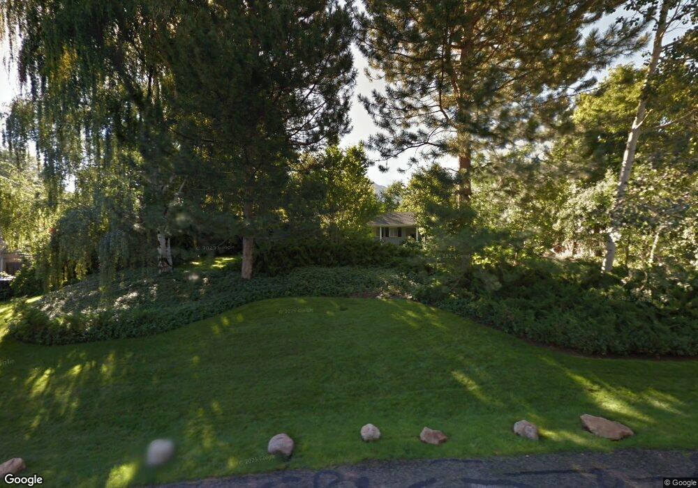
1792 Millbrook Rd Salt Lake City, UT 84106
East Millcreek NeighborhoodEstimated Value: $1,162,000 - $1,472,000
4
Beds
4
Baths
2,298
Sq Ft
$562/Sq Ft
Est. Value
About This Home
This home is located at 1792 Millbrook Rd, Salt Lake City, UT 84106 and is currently estimated at $1,290,705, approximately $561 per square foot. 1792 Millbrook Rd is a home located in Salt Lake County with nearby schools including William Penn Elementary School, Evergreen Junior High School, and Olympus High School.
Ownership History
Date
Name
Owned For
Owner Type
Purchase Details
Closed on
Apr 30, 2020
Sold by
Hollow Pamela K and The John R Bollow Trust
Bought by
Bollow Pamela K and Bollow Eric K
Current Estimated Value
Purchase Details
Closed on
May 5, 2008
Sold by
Bollow John R and Bollow Pamela K
Bought by
Bollow John R and Bollow Pamela K
Purchase Details
Closed on
Mar 1, 2002
Sold by
Bollow John R and Bollow Pamela K
Bought by
Bollow Pamela K
Create a Home Valuation Report for This Property
The Home Valuation Report is an in-depth analysis detailing your home's value as well as a comparison with similar homes in the area
Home Values in the Area
Average Home Value in this Area
Purchase History
| Date | Buyer | Sale Price | Title Company |
|---|---|---|---|
| Bollow Pamela K | -- | None Available | |
| Bollow John R | -- | Accommodation | |
| Bollow Pamela K | -- | Landmark Title |
Source: Public Records
Tax History Compared to Growth
Tax History
| Year | Tax Paid | Tax Assessment Tax Assessment Total Assessment is a certain percentage of the fair market value that is determined by local assessors to be the total taxable value of land and additions on the property. | Land | Improvement |
|---|---|---|---|---|
| 2025 | $6,548 | $1,101,600 | $522,500 | $579,100 |
| 2024 | $6,548 | $1,048,400 | $498,700 | $549,700 |
| 2023 | $6,498 | $1,004,300 | $479,500 | $524,800 |
| 2022 | $7,380 | $1,146,600 | $470,100 | $676,500 |
| 2021 | $6,449 | $868,700 | $393,000 | $475,700 |
| 2020 | $4,944 | $628,600 | $367,300 | $261,300 |
| 2019 | $4,164 | $517,200 | $361,400 | $155,800 |
| 2018 | $4,211 | $503,600 | $355,500 | $148,100 |
| 2017 | $3,977 | $498,300 | $345,200 | $153,100 |
| 2016 | $4,118 | $520,900 | $345,200 | $175,700 |
| 2015 | $4,060 | $480,700 | $356,300 | $124,400 |
| 2014 | -- | $463,100 | $356,300 | $106,800 |
Source: Public Records
Map
Nearby Homes
- 1839 E Honeybrook Place
- 1772 E Countryside Dr
- 1752 E Millcreek Cir
- 1726 E Millcreek Way
- 1977 E Millbrook Dr
- 1700 E 3300 S
- 1801 E 3900 S
- 1473 E Millcreek Way
- 1486 E Foxboro Dr #1 S Unit 1
- 3838 S 1950 E
- 1668 E Forest Hills Dr
- 1614 E 3300 S
- 1870 E 3900 S
- 1818 E 3900 S
- 3404 S 2130 E
- 1482 E Foxboro Dr Unit 2
- 2070 E 3335 S Unit 13
- 1805 E 3170 S
- 1555 E 3900 S Unit 208
- 2129 E Georgetown Square
- 1786 Millbrook Rd
- 1786 E Millbrook Rd
- 1798 Millbrook Rd
- 1798 E Millbrook Rd Unit 45
- 1798 E Millbrook Rd
- 1836 Honeybrook Place
- 1821 E Countryside Dr
- 1801 Countryside Dr
- 1783 Millbrook Rd
- 1801 E Countryside Dr
- 1780 Millbrook Rd
- 1783 E Millbrook Rd
- 1839 Honeybrook Place
- 1821 Countryside Dr
- 1789 E Countryside Dr
- 1804 Millbrook Rd
- 1801 Millbrook Rd
- 1799 E Millbrook Rd
- 1844 Honeybrook Place
- 1770 Millbrook Rd