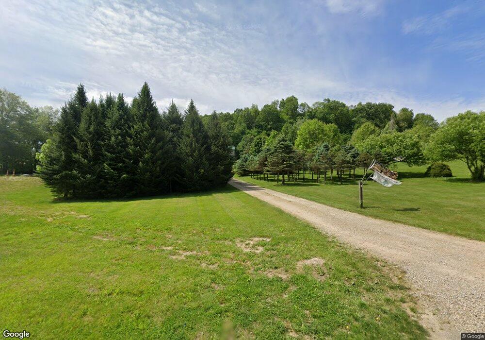
17920 Fredericktown Amity Rd Fredericktown, OH 43019
Estimated Value: $314,000 - $613,000
3
Beds
2
Baths
1,896
Sq Ft
$240/Sq Ft
Est. Value
About This Home
This home is located at 17920 Fredericktown Amity Rd, Fredericktown, OH 43019 and is currently estimated at $455,183, approximately $240 per square foot. 17920 Fredericktown Amity Rd is a home located in Knox County with nearby schools including Clear Fork High School.
Ownership History
Date
Name
Owned For
Owner Type
Purchase Details
Closed on
Oct 22, 2007
Sold by
Peterheim David L and Petersheim Anna E
Bought by
Petersheim David L and Petersheim Anna E
Current Estimated Value
Purchase Details
Closed on
Jan 30, 2007
Sold by
Petersheim David L and Petersheim Anna E
Bought by
Petersheim David L and Petersheim Anna E
Purchase Details
Closed on
May 6, 2005
Sold by
Richardson Matthew K and Richardson Paula J
Bought by
Petersheim David L and Petersheim Anna E
Home Financials for this Owner
Home Financials are based on the most recent Mortgage that was taken out on this home.
Original Mortgage
$77,350
Outstanding Balance
$40,873
Interest Rate
6.05%
Mortgage Type
Purchase Money Mortgage
Estimated Equity
$414,310
Create a Home Valuation Report for This Property
The Home Valuation Report is an in-depth analysis detailing your home's value as well as a comparison with similar homes in the area
Home Values in the Area
Average Home Value in this Area
Purchase History
| Date | Buyer | Sale Price | Title Company |
|---|---|---|---|
| Petersheim David L | -- | None Available | |
| Petersheim David L | -- | None Available | |
| Petersheim David L | $68,250 | None Available |
Source: Public Records
Mortgage History
| Date | Status | Borrower | Loan Amount |
|---|---|---|---|
| Open | Petersheim David L | $77,350 |
Source: Public Records
Tax History Compared to Growth
Tax History
| Year | Tax Paid | Tax Assessment Tax Assessment Total Assessment is a certain percentage of the fair market value that is determined by local assessors to be the total taxable value of land and additions on the property. | Land | Improvement |
|---|---|---|---|---|
| 2024 | $2,765 | $78,540 | $17,340 | $61,200 |
| 2023 | $2,765 | $78,540 | $17,340 | $61,200 |
| 2022 | $2,655 | $60,420 | $13,340 | $47,080 |
| 2021 | $2,529 | $60,420 | $13,340 | $47,080 |
| 2020 | $2,489 | $60,420 | $13,340 | $47,080 |
| 2019 | $2,181 | $50,470 | $11,870 | $38,600 |
| 2018 | $2,025 | $46,830 | $11,870 | $34,960 |
| 2017 | $2,078 | $46,830 | $11,870 | $34,960 |
| 2016 | $1,843 | $43,360 | $10,990 | $32,370 |
| 2015 | $1,794 | $43,360 | $10,990 | $32,370 |
| 2014 | $1,837 | $43,360 | $10,990 | $32,370 |
| 2013 | $1,673 | $37,530 | $10,610 | $26,920 |
Source: Public Records
Map
Nearby Homes
- 0 Divelbiss Rd
- 0 N Liberty Rd
- 15745 Lower Fredericktown Amity Rd
- 15770 Pleasant View Rd
- 17970 Scott Rd
- 14702 Wooster Rd
- 14499 Wooster Rd
- 14914 N Liberty Rd
- 21625 N Liberty Rd
- 85 E Lakeview Dr
- 14345 Spohn Rd
- 0 Hyatt Rd
- 14021 Gilchrist Rd
- 13999 Wooster Rd
- 15066 Monroe Mills Rd
- 13618 Gilchrist Rd
- 0 Crestrose Dr Unit 20250705
- 0 Crestrose Dr Unit 225027634
- 18130 Fredericktown Amity Rd
- 17859 Fredericktown Amity Rd
- 17862 Fredericktown Amity Rd
- 18098 N Liberty Rd
- 18069 Fredericktown Amity Rd
- 17830 Fredericktown Amity Rd
- 17830 Fred Amity Rd
- 17830 Fred-Amity Rd
- 18140 N Liberty Rd
- 17960 N Liberty Rd
- 18210 N Liberty Rd
- 18151 N Liberty Rd
- 18240 N Liberty Rd
- 18223 N Liberty Rd
- 18296 N Liberty Rd
- 18015 N Liberty Rd
- 18400 N Liberty Rd
- 18400 N Liberty Rd
- 17819 N Liberty Rd
- 18319 N Liberty Rd