17921 N Highway 71 Mountainburg, AR 72946
Estimated Value: $248,822 - $331,000
--
Bed
2
Baths
2,288
Sq Ft
$127/Sq Ft
Est. Value
About This Home
This home is located at 17921 N Highway 71, Mountainburg, AR 72946 and is currently estimated at $291,607, approximately $127 per square foot. 17921 N Highway 71 is a home located in Crawford County with nearby schools including Mountainburg Elementary School, Mountainburg Middle School, and Mountainburg High School.
Ownership History
Date
Name
Owned For
Owner Type
Purchase Details
Closed on
Oct 30, 1960
Sold by
Smith Ruth C
Bought by
Gatlin Erbie
Current Estimated Value
Purchase Details
Closed on
Jul 5, 1945
Bought by
Williams-Smith
Purchase Details
Closed on
Nov 20, 1942
Bought by
Barton-Williams
Purchase Details
Closed on
Nov 5, 1942
Bought by
Mikel-Barton
Purchase Details
Closed on
Jan 28, 1935
Bought by
Hall-Barton and Mikel
Purchase Details
Closed on
Jul 21, 1933
Bought by
Missouri Pacific Rr-Hall (2)
Create a Home Valuation Report for This Property
The Home Valuation Report is an in-depth analysis detailing your home's value as well as a comparison with similar homes in the area
Home Values in the Area
Average Home Value in this Area
Purchase History
| Date | Buyer | Sale Price | Title Company |
|---|---|---|---|
| Gatlin Erbie | -- | -- | |
| Williams-Smith | $5,500 | -- | |
| Barton-Williams | $1,600 | -- | |
| Mikel-Barton | -- | -- | |
| Hall-Barton | $800 | -- | |
| Missouri Pacific Rr-Hall (2) | -- | -- |
Source: Public Records
Tax History Compared to Growth
Tax History
| Year | Tax Paid | Tax Assessment Tax Assessment Total Assessment is a certain percentage of the fair market value that is determined by local assessors to be the total taxable value of land and additions on the property. | Land | Improvement |
|---|---|---|---|---|
| 2025 | $950 | $24,240 | $2,850 | $21,390 |
| 2024 | $887 | $24,240 | $2,850 | $21,390 |
| 2023 | $814 | $24,240 | $2,850 | $21,390 |
| 2022 | $741 | $14,240 | $2,290 | $11,950 |
| 2021 | $741 | $14,240 | $2,290 | $11,950 |
| 2020 | $671 | $14,240 | $2,290 | $11,950 |
| 2019 | $671 | $14,240 | $2,290 | $11,950 |
| 2018 | $671 | $14,240 | $2,290 | $11,950 |
| 2017 | $604 | $13,010 | $2,510 | $10,500 |
| 2016 | $614 | $13,010 | $2,510 | $10,500 |
| 2015 | $614 | $13,010 | $2,510 | $10,500 |
| 2014 | $604 | $13,010 | $2,510 | $10,500 |
Source: Public Records
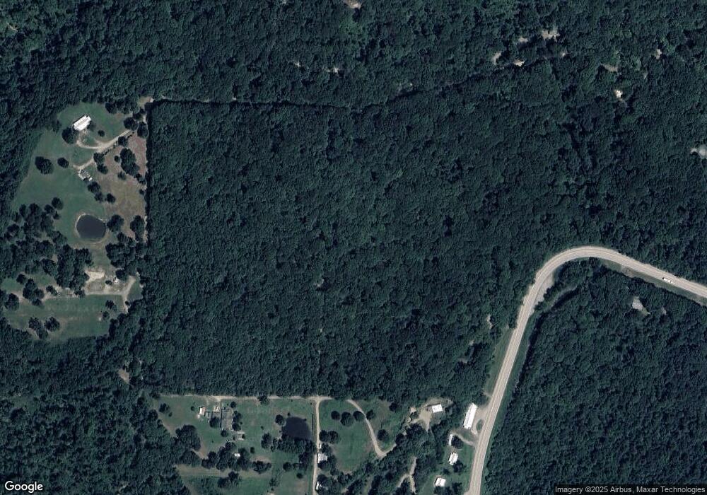
Map
Nearby Homes
- 17221 N Highway 71
- 11939 Canova Trail
- 11901 Canova Trail
- 19108 Canova Trail
- 411 E Front Ave
- TBD N Hwy 71
- 15800 Sand Point Terrace
- 933 Serviceberry Rd
- 15802 Sand Point Terrace
- 15801 Sand Point Terrace
- 19433 U S Highway 71
- 19433 N Highway 71
- 21701 Mount Gaylor Point
- TBD Old Locke Rd
- 129 Hickory Trail
- 13704 N Highway 348
- 47 Acres Wc 4275
- 22764 Carter Lane Rd
- 533 Graham St
- 632 Graham St
- 12752 Barnes Loop
- 17891 N Highway 71
- 12707 N Barnes Loop
- 17857 N Highway 71
- 12711 Barnes Loop
- 000 Barnes Loop
- TBD Barnes Loop
- 0 Barnes Loop
- 12505 Barnes Loop
- 17899 N Highway 71
- 12609 Barnes Loop
- 18001 Cartwright Mountain Rd
- 17827 N Highway 71
- 18036 Cartwright Mountain Rd
- 17911 Cartwright Mountain Rd
- 17809 N Highway 71
- 18219 N Highway 71
- 18400 Cartwright Mountain Rd
- 18424 Cartwright Mountain Rd
- 17833 Cartwright Mountain Rd