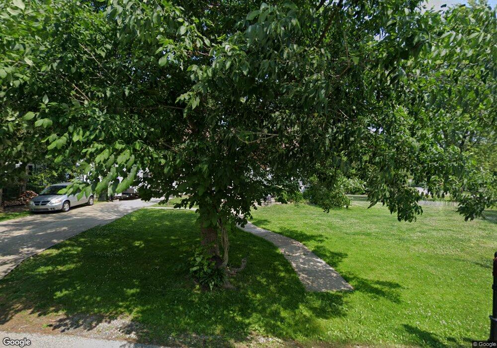
Estimated Value: $260,000 - $296,000
5
Beds
3
Baths
1,916
Sq Ft
$145/Sq Ft
Est. Value
About This Home
This home is located at 1793 Elm Dr, Kent, OH 44240 and is currently estimated at $277,016, approximately $144 per square foot. 1793 Elm Dr is a home located in Portage County with nearby schools including Walls Elementary School, Stanton Middle School, and Theodore Roosevelt High School.
Ownership History
Date
Name
Owned For
Owner Type
Purchase Details
Closed on
Jun 16, 2009
Sold by
Daniels Ryan E and Daniels Keely M
Bought by
Singer Rebecca M
Current Estimated Value
Home Financials for this Owner
Home Financials are based on the most recent Mortgage that was taken out on this home.
Original Mortgage
$90,700
Outstanding Balance
$57,552
Interest Rate
4.85%
Mortgage Type
Purchase Money Mortgage
Estimated Equity
$219,464
Purchase Details
Closed on
Oct 24, 2005
Sold by
Vonstein Robert John and Vonstein Heidi Madonna
Bought by
Daniels Ryan E and Daniels Keely M
Create a Home Valuation Report for This Property
The Home Valuation Report is an in-depth analysis detailing your home's value as well as a comparison with similar homes in the area
Home Values in the Area
Average Home Value in this Area
Purchase History
| Date | Buyer | Sale Price | Title Company |
|---|---|---|---|
| Singer Rebecca M | $113,400 | Netwide Title Agency Inc | |
| Daniels Ryan E | $175,000 | Buckeye Reserve Title Agency |
Source: Public Records
Mortgage History
| Date | Status | Borrower | Loan Amount |
|---|---|---|---|
| Open | Singer Rebecca M | $90,700 |
Source: Public Records
Tax History Compared to Growth
Tax History
| Year | Tax Paid | Tax Assessment Tax Assessment Total Assessment is a certain percentage of the fair market value that is determined by local assessors to be the total taxable value of land and additions on the property. | Land | Improvement |
|---|---|---|---|---|
| 2024 | $3,433 | $72,770 | $11,240 | $61,530 |
| 2023 | $2,726 | $46,100 | $11,240 | $34,860 |
| 2022 | $2,715 | $46,100 | $11,240 | $34,860 |
| 2021 | $2,701 | $46,100 | $11,240 | $34,860 |
| 2020 | $2,614 | $39,800 | $11,240 | $28,560 |
| 2019 | $2,570 | $39,800 | $11,240 | $28,560 |
| 2018 | $2,830 | $42,360 | $11,240 | $31,120 |
| 2017 | $2,830 | $42,360 | $11,240 | $31,120 |
| 2016 | $2,800 | $42,360 | $11,240 | $31,120 |
| 2015 | $2,801 | $42,360 | $11,240 | $31,120 |
| 2014 | $2,851 | $42,360 | $11,240 | $31,120 |
| 2013 | $2,829 | $42,360 | $11,240 | $31,120 |
Source: Public Records
Map
Nearby Homes
- 1799 Oak Hill Dr
- 7711 Diagonal Rd
- 7775 Diagonal Rd
- 1944 Pine Dr
- 1939 Pine Dr Unit 8M
- 2011 E Swan Lake Cir
- 7532 State Route 43
- 1465 North Blvd
- 1376 Mockingbird Dr
- 8158 State Route 43
- 8291 State Route 14
- 1657 Duncan Way
- 1675 Duncan Way
- 1678 Duncan Way
- V/L State Route 14
- 1966 Summers Ave
- 8795 Kelly Ln
- 6530 Towner Dr
- 1648 Maple View Ct
- 2215 Brady Lake Rd
