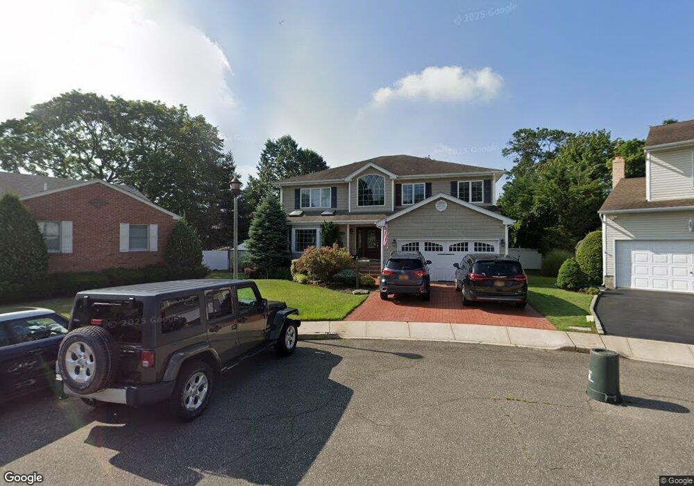
1793 Margarita Ct Merrick, NY 11566
Estimated Value: $1,450,722 - $1,892,000
6
Beds
3
Baths
3,482
Sq Ft
$480/Sq Ft
Est. Value
About This Home
This home is located at 1793 Margarita Ct, Merrick, NY 11566 and is currently estimated at $1,671,361, approximately $480 per square foot. 1793 Margarita Ct is a home located in Nassau County with nearby schools including Burcham Elementary School, Merrick Avenue Middle School, and Waynoka High School.
Ownership History
Date
Name
Owned For
Owner Type
Purchase Details
Closed on
Feb 10, 2011
Sold by
Scanlon Nancy
Bought by
Trenka Ronald
Current Estimated Value
Home Financials for this Owner
Home Financials are based on the most recent Mortgage that was taken out on this home.
Original Mortgage
$680,000
Outstanding Balance
$464,645
Interest Rate
4.75%
Mortgage Type
Purchase Money Mortgage
Estimated Equity
$1,206,716
Purchase Details
Closed on
Aug 9, 2005
Sold by
Dandrea Paul
Bought by
Scanlon Nancy
Create a Home Valuation Report for This Property
The Home Valuation Report is an in-depth analysis detailing your home's value as well as a comparison with similar homes in the area
Home Values in the Area
Average Home Value in this Area
Purchase History
| Date | Buyer | Sale Price | Title Company |
|---|---|---|---|
| Trenka Ronald | $905,000 | -- | |
| Scanlon Nancy | $960,000 | -- |
Source: Public Records
Mortgage History
| Date | Status | Borrower | Loan Amount |
|---|---|---|---|
| Open | Trenka Ronald | $680,000 |
Source: Public Records
Tax History Compared to Growth
Tax History
| Year | Tax Paid | Tax Assessment Tax Assessment Total Assessment is a certain percentage of the fair market value that is determined by local assessors to be the total taxable value of land and additions on the property. | Land | Improvement |
|---|---|---|---|---|
| 2025 | $28,584 | $987 | $294 | $693 |
| 2024 | $7,093 | $945 | $281 | $664 |
| 2023 | $26,172 | $987 | $294 | $693 |
| 2022 | $26,063 | $987 | $294 | $693 |
| 2021 | $24,950 | $935 | $279 | $656 |
| 2020 | $12,691 | $1,354 | $570 | $784 |
| 2019 | $25,200 | $1,424 | $599 | $825 |
| 2018 | $24,966 | $1,934 | $0 | $0 |
| 2017 | $21,407 | $1,934 | $814 | $1,120 |
| 2016 | $30,059 | $1,934 | $814 | $1,120 |
| 2015 | $7,987 | $1,934 | $794 | $1,140 |
| 2014 | $7,987 | $1,934 | $794 | $1,140 |
| 2013 | $7,461 | $1,934 | $814 | $1,120 |
Source: Public Records
Map
Nearby Homes
- 1680 Lake Ave
- 2 Garfield St
- 70 Nancy Blvd
- 2271 Locust St
- 2282 Sycamore Place
- 204 Margaret Blvd
- 1800 Remson Ave
- 12 Washington Dr
- 1734 Roberta Ln
- 138 Hewlett Ave
- 1580 Little Whaleneck Rd
- 2005 Abbot Ave
- 1911 Carroll Ave
- 2239 Henry St
- 96 Thelma Ave
- 1931 Miller Place
- 335 Smith St
- 1617 Richard Ave
- 2147 Seneca Dr N
- 1531 Merrick Ave
- 1798 Margarita Ct
- 1806 Hendrickson Ct
- 1787 Margarita Ct
- 1812 Hendrickson Ct
- 1796 Hendrickson Ct
- 1820 Hendrickson Ct
- 48 Brookside Ave
- 1792 Margarita Ct
- 50 Brookside Ave
- 1809 Brookside Ave
- 1786 Margarita Ct
- 1815 Brookside Ave
- 1809 Hendrickson Ct
- 2182 Camp Ave
- 1821 Brookside Ave
- 52 Brookside Ave
- 1815 Hendrickson Ct
- 1 Hendrickson Ave
- 2161 Camp Ave
- 2167 Camp Ave