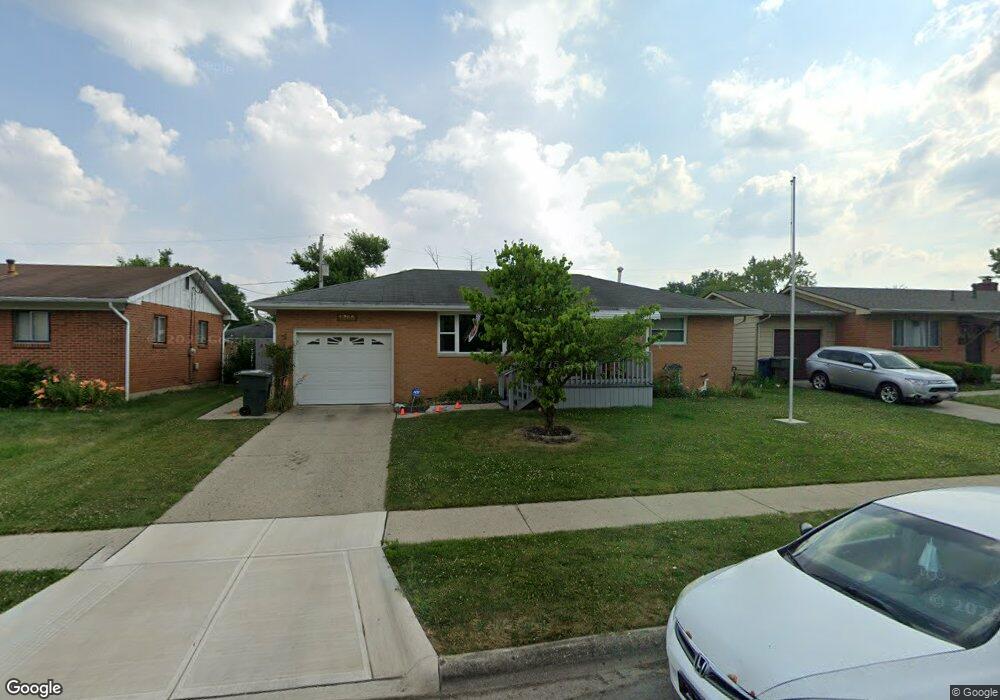
1793 Ormond Ave Columbus, OH 43224
North Linden NeighborhoodEstimated Value: $188,147 - $217,000
2
Beds
1
Bath
972
Sq Ft
$211/Sq Ft
Est. Value
About This Home
This home is located at 1793 Ormond Ave, Columbus, OH 43224 and is currently estimated at $205,287, approximately $211 per square foot. 1793 Ormond Ave is a home located in Franklin County with nearby schools including North Linden Elementary School, Medina Middle School, and Mifflin High School.
Ownership History
Date
Name
Owned For
Owner Type
Purchase Details
Closed on
Jan 31, 2002
Sold by
Berrisford Diane L and Coleman Diane L Berrisford
Bought by
Vance Claude P and Vance Judy F
Current Estimated Value
Home Financials for this Owner
Home Financials are based on the most recent Mortgage that was taken out on this home.
Original Mortgage
$86,525
Outstanding Balance
$34,709
Interest Rate
7.23%
Mortgage Type
FHA
Estimated Equity
$170,578
Purchase Details
Closed on
Jul 27, 1990
Bought by
Barrisford Diane L
Create a Home Valuation Report for This Property
The Home Valuation Report is an in-depth analysis detailing your home's value as well as a comparison with similar homes in the area
Home Values in the Area
Average Home Value in this Area
Purchase History
| Date | Buyer | Sale Price | Title Company |
|---|---|---|---|
| Vance Claude P | $87,900 | Chicago Title | |
| Barrisford Diane L | $64,000 | -- |
Source: Public Records
Mortgage History
| Date | Status | Borrower | Loan Amount |
|---|---|---|---|
| Open | Vance Claude P | $86,525 |
Source: Public Records
Tax History
| Year | Tax Paid | Tax Assessment Tax Assessment Total Assessment is a certain percentage of the fair market value that is determined by local assessors to be the total taxable value of land and additions on the property. | Land | Improvement |
|---|---|---|---|---|
| 2025 | $2,223 | $59,330 | $17,080 | $42,250 |
| 2024 | $2,223 | $59,330 | $17,080 | $42,250 |
| 2023 | $2,222 | $59,325 | $17,080 | $42,245 |
| 2022 | $1,228 | $32,420 | $7,040 | $25,380 |
| 2021 | $1,230 | $32,420 | $7,040 | $25,380 |
| 2020 | $1,220 | $32,210 | $7,040 | $25,170 |
| 2019 | $1,077 | $26,500 | $5,850 | $20,650 |
| 2018 | $1,014 | $26,500 | $5,850 | $20,650 |
| 2017 | $1,076 | $26,500 | $5,850 | $20,650 |
| 2016 | $1,051 | $24,610 | $5,570 | $19,040 |
| 2015 | $954 | $24,610 | $5,570 | $19,040 |
| 2014 | $956 | $24,610 | $5,570 | $19,040 |
| 2013 | $510 | $25,900 | $5,845 | $20,055 |
Source: Public Records
Map
Nearby Homes
- 1874 Sale Rd
- 3750 Dresden St
- 1863 Ward Rd
- 1997 Ferris Rd
- 1637 Sale Rd
- 2023 Ferris Rd
- 2045 Sale Rd
- 2010 Melrose Ave
- 1946 Lehner Rd
- 2081 Ormond Ave
- 2100 Ferris Rd
- 3583 Dresden St
- 3508 Kenlawn St
- 3939 Karl Rd Unit 311
- 3967 Karl Rd Unit 224
- 3620 Walmar Dr
- 3941 Karl Rd Unit 326
- 3585 Gerbert Rd
- 2267 Ferris Rd
- 2283 Ward Rd
- 1783 Ormond Ave
- 1786 Radnor Ave
- 1807 Ormond Ave
- 1794 Radnor Ave
- 1780 Radnor Ave
- 1794 Ormond Ave
- 1800 Radnor Ave
- 3890 Dresden St
- 1786 Ormond Ave
- 1817 Ormond Ave
- 1810 Ormond Ave
- 1780 Ormond Ave
- 1810 Radnor Ave
- 1818 Ormond Ave
- 1787 Radnor Ave
- 1818 Radnor Ave
- 1777 Radnor Ave
- 1795 Radnor Ave
- 1799 Radnor Ave
- 1826 Ormond Ave
Your Personal Tour Guide
Ask me questions while you tour the home.