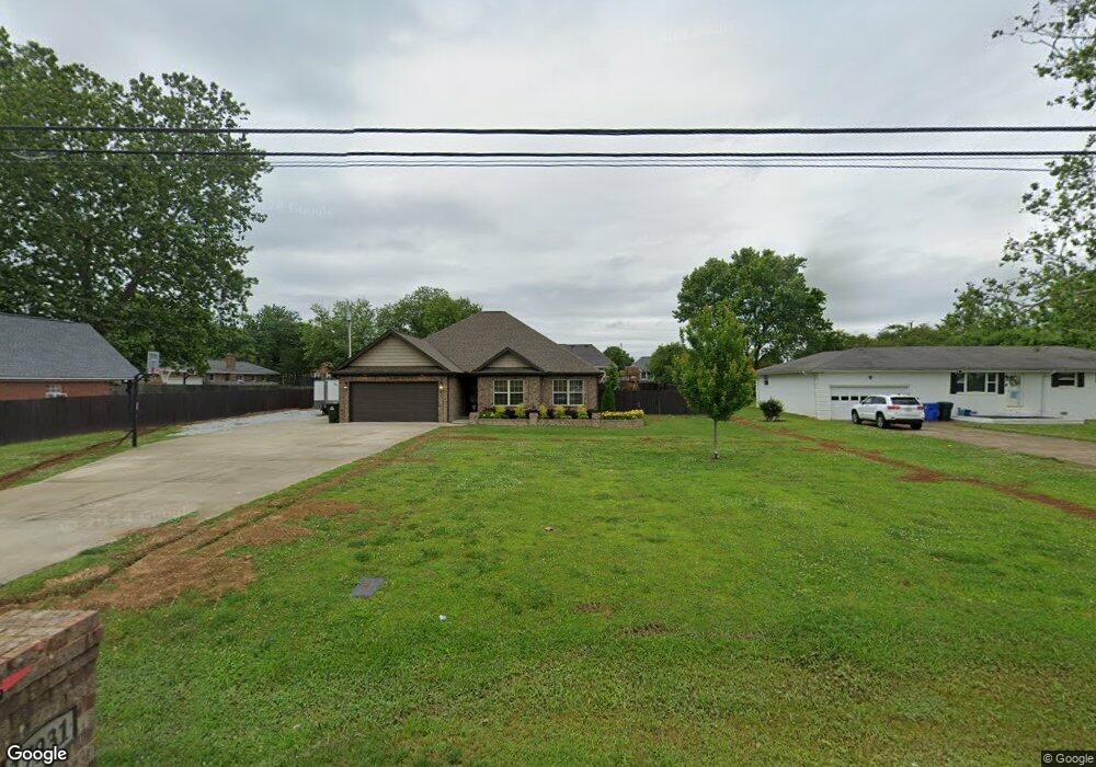
17931 Brownsferry Rd Athens, AL 35611
Estimated Value: $264,000 - $298,000
--
Bed
--
Bath
1,568
Sq Ft
$178/Sq Ft
Est. Value
About This Home
This home is located at 17931 Brownsferry Rd, Athens, AL 35611 and is currently estimated at $279,259, approximately $178 per square foot. 17931 Brownsferry Rd is a home with nearby schools including Athens Intermediate School, Athens High School, and Lindsay Lane Christian Academy.
Ownership History
Date
Name
Owned For
Owner Type
Purchase Details
Closed on
Jun 28, 2018
Sold by
Chittam Construction Llc
Bought by
Collier Valdarian R and Chittam Payton H
Current Estimated Value
Home Financials for this Owner
Home Financials are based on the most recent Mortgage that was taken out on this home.
Original Mortgage
$145,500
Outstanding Balance
$126,097
Interest Rate
4.5%
Mortgage Type
New Conventional
Estimated Equity
$153,162
Purchase Details
Closed on
Mar 9, 2018
Sold by
Long Bettye O
Bought by
Chittam Construction Llc
Home Financials for this Owner
Home Financials are based on the most recent Mortgage that was taken out on this home.
Original Mortgage
$133,619
Interest Rate
4.32%
Mortgage Type
Commercial
Create a Home Valuation Report for This Property
The Home Valuation Report is an in-depth analysis detailing your home's value as well as a comparison with similar homes in the area
Home Values in the Area
Average Home Value in this Area
Purchase History
| Date | Buyer | Sale Price | Title Company |
|---|---|---|---|
| Collier Valdarian R | $150,000 | None Available | |
| Chittam Construction Llc | $19,000 | None Available |
Source: Public Records
Mortgage History
| Date | Status | Borrower | Loan Amount |
|---|---|---|---|
| Open | Collier Valdarian R | $145,500 | |
| Previous Owner | Chittam Construction Llc | $133,619 |
Source: Public Records
Tax History Compared to Growth
Tax History
| Year | Tax Paid | Tax Assessment Tax Assessment Total Assessment is a certain percentage of the fair market value that is determined by local assessors to be the total taxable value of land and additions on the property. | Land | Improvement |
|---|---|---|---|---|
| 2024 | $982 | $24,200 | $0 | $0 |
| 2023 | $915 | $23,120 | $0 | $0 |
| 2022 | $761 | $20,360 | $0 | $0 |
| 2021 | $625 | $16,940 | $0 | $0 |
| 2020 | $601 | $16,340 | $0 | $0 |
| 2019 | $589 | $16,060 | $0 | $0 |
| 2018 | $132 | $3,300 | $0 | $0 |
| 2017 | $88 | $2,200 | $0 | $0 |
| 2016 | $88 | $2,200 | $0 | $0 |
| 2015 | $88 | $2,200 | $0 | $0 |
| 2014 | $88 | $0 | $0 | $0 |
Source: Public Records
Map
Nearby Homes
- 15168 Kings Dr
- 17501 Martin Dr
- 17759 Tipper Ln
- 17781 Tipper Ln
- 17714 Emma Jo Ln
- 17793 Tipper Ln
- 17805 Tipper Ln
- 17819 Tipper Ln
- 17738 Emma Jo Ln
- 15350 Coco Reid Ln
- 15340 Coco Reid Ln
- 17688 Brownsferry Rd
- 17768 Emma Jo Ln
- 17620 Owens St
- 17812 Emma Jo Ln
- 0 Davis Rd Unit 11611508
- 15348 Lucas Ferry Rd
- 17294 Hubert St
- 17309 Ferry Rd
- 15717 Arlington Rd
- 17947 Brownsferry Rd
- 15090 Kings Dr
- 17967 Brownsferry Rd
- 15122 Kings Dr
- 15402 Clodessa Dr
- 15384 Clodessa Dr
- 17985 Brownsferry Rd
- 15424 Clodessa Dr
- 15089 Kings Dr
- 15440 Clodessa Dr
- 18005 Brownsferry Rd
- 15171 Kings Dr
- 15383 Clodessa Dr
- 15220 Kings Dr
- 15401 Clodessa Dr
- 17845 Brownsferry Rd
- 15425 Clodessa Dr
- 15462 Clodessa Dr
- 15276 Clodessa Dr
- 15221 Kings Dr