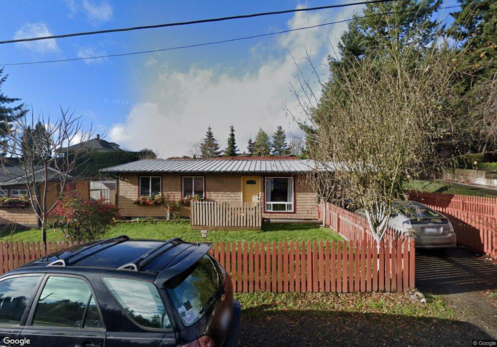
17935 9th Ave NE Poulsbo, WA 98370
Estimated Value: $747,000 - $1,027,000
3
Beds
2
Baths
1,395
Sq Ft
$637/Sq Ft
Est. Value
About This Home
This home is located at 17935 9th Ave NE, Poulsbo, WA 98370 and is currently estimated at $888,724, approximately $637 per square foot. 17935 9th Ave NE is a home with nearby schools including Poulsbo Elementary School, Poulsbo Middle School, and North Kitsap High School.
Ownership History
Date
Name
Owned For
Owner Type
Purchase Details
Closed on
Nov 10, 2022
Sold by
Wittman Bernard Alan
Bought by
Revocable Living Trust
Current Estimated Value
Purchase Details
Closed on
Jul 28, 2021
Sold by
Wittman Bernard A
Bought by
Maraist Douglas E and Berry Maraist Linda
Purchase Details
Closed on
Aug 11, 2015
Sold by
Prestek Stefanie
Bought by
Wittman Bernard
Purchase Details
Closed on
Jul 24, 2013
Sold by
Thomas Anne Mcdonald
Bought by
Wittman Bernard A and Prestek Stefanie C
Create a Home Valuation Report for This Property
The Home Valuation Report is an in-depth analysis detailing your home's value as well as a comparison with similar homes in the area
Home Values in the Area
Average Home Value in this Area
Purchase History
| Date | Buyer | Sale Price | Title Company |
|---|---|---|---|
| Revocable Living Trust | -- | -- | |
| Maraist Douglas E | $12,770 | Land Title Co | |
| Wittman Bernard | $654 | None Available | |
| Wittman Bernard A | $460,280 | Pacific Nw Title |
Source: Public Records
Tax History Compared to Growth
Tax History
| Year | Tax Paid | Tax Assessment Tax Assessment Total Assessment is a certain percentage of the fair market value that is determined by local assessors to be the total taxable value of land and additions on the property. | Land | Improvement |
|---|---|---|---|---|
| 2026 | $6,850 | $763,420 | $274,440 | $488,980 |
| 2025 | $6,850 | $763,420 | $274,440 | $488,980 |
| 2024 | $6,193 | $710,650 | $230,990 | $479,660 |
| 2023 | $6,298 | $710,650 | $230,990 | $479,660 |
| 2022 | $5,609 | $601,810 | $200,510 | $401,300 |
| 2021 | $5,444 | $541,310 | $182,760 | $358,550 |
| 2020 | $5,288 | $516,530 | $174,600 | $341,930 |
| 2019 | $4,953 | $483,740 | $163,180 | $320,560 |
| 2018 | $4,497 | $373,600 | $123,870 | $249,730 |
| 2017 | $4,293 | $373,600 | $123,870 | $249,730 |
| 2016 | $4,436 | $355,640 | $123,870 | $231,770 |
| 2015 | $4,530 | $365,000 | $144,510 | $220,490 |
| 2014 | -- | $353,730 | $144,510 | $209,220 |
Source: Public Records
Map
Nearby Homes
- 18330 9th Ave NE
- 0 XX Lemolo Shore Dr NE
- 17667 State Highway 305 NE
- 18637 Fjord Dr NE
- 18664 11th Ave NE
- 1610 NE Mount Kamela Ct
- 493 NE Lincoln Rd
- 18552 15th Loop NE
- 18130 Sunrise Ridge Ave NE
- 17915 Sunrise Ridge Ave NE
- 17787 Sunrise Ridge Ave NE
- 18323 Sunrise Ridge Ave NE
- 0 7th Ave NE Unit NWM2280996
- 17 Beargrass Ln NE
- 600 NE Lincoln Rd Unit 41
- 17602 NE Midnight Sun Loop
- Asher Plan at Liberty Bay Vista
- Rainier Plan at Liberty Bay Vista
- Raymond Plan at Liberty Bay Vista
- Luna Plan at Liberty Bay Vista
- 17936 Fjord Dr NE
- 17927 9th Ave NE
- 17950 Fjord Dr NE
- 17960 Fjord Dr NE
- 17884 Fjord Dr NE
- 17890 Fjord Dr NE
- 17961 9th Ave NE
- 17933 9th Ave NE
- 17905 9th Ave NE
- 17971 9th Ave NE
- 18002 Fjord Dr NE
- 17881 9th Ave NE
- 17854 Fjord Dr NE
- 17993 9th Ave NE
- 17851 9th Ave NE
- 18030 Fjord Dr NE
- 18015 9th Ave NE
- 880 NE Nordnes St
- 17940 9th Ave NE
- 17886 9th Ave NE