17939 Scott Rd Mount Vernon, OH 43050
Estimated Value: $226,000 - $290,000
3
Beds
2
Baths
1,265
Sq Ft
$196/Sq Ft
Est. Value
About This Home
This home is located at 17939 Scott Rd, Mount Vernon, OH 43050 and is currently estimated at $247,448, approximately $195 per square foot. 17939 Scott Rd is a home located in Knox County with nearby schools including Mount Vernon High School.
Ownership History
Date
Name
Owned For
Owner Type
Purchase Details
Closed on
Apr 28, 2023
Sold by
Miller Carole L
Bought by
Durbin Sarah L
Current Estimated Value
Purchase Details
Closed on
Jun 23, 2009
Sold by
Dugan Linda
Bought by
Miller Lynn J and Miller Carole L
Home Financials for this Owner
Home Financials are based on the most recent Mortgage that was taken out on this home.
Original Mortgage
$87,500
Interest Rate
4.92%
Mortgage Type
New Conventional
Purchase Details
Closed on
Jun 30, 2000
Sold by
Reed Sandra A
Bought by
Reed Sandra and Beck Terry
Create a Home Valuation Report for This Property
The Home Valuation Report is an in-depth analysis detailing your home's value as well as a comparison with similar homes in the area
Home Values in the Area
Average Home Value in this Area
Purchase History
| Date | Buyer | Sale Price | Title Company |
|---|---|---|---|
| Durbin Sarah L | -- | None Listed On Document | |
| Miller Lynn J | $70,500 | None Available | |
| Reed Sandra | -- | -- |
Source: Public Records
Mortgage History
| Date | Status | Borrower | Loan Amount |
|---|---|---|---|
| Previous Owner | Miller Lynn J | $87,500 |
Source: Public Records
Tax History Compared to Growth
Tax History
| Year | Tax Paid | Tax Assessment Tax Assessment Total Assessment is a certain percentage of the fair market value that is determined by local assessors to be the total taxable value of land and additions on the property. | Land | Improvement |
|---|---|---|---|---|
| 2024 | $2,023 | $57,480 | $14,210 | $43,270 |
| 2023 | $2,023 | $57,480 | $14,210 | $43,270 |
| 2022 | $1,425 | $39,640 | $9,800 | $29,840 |
| 2021 | $1,425 | $39,640 | $9,800 | $29,840 |
| 2020 | $1,385 | $39,640 | $9,800 | $29,840 |
| 2019 | $1,303 | $35,580 | $9,830 | $25,750 |
| 2018 | $1,726 | $35,580 | $9,830 | $25,750 |
| 2017 | $1,698 | $35,580 | $9,830 | $25,750 |
| 2016 | $1,582 | $32,940 | $9,100 | $23,840 |
| 2015 | $1,588 | $32,940 | $9,100 | $23,840 |
| 2014 | $1,596 | $32,940 | $9,100 | $23,840 |
| 2013 | $1,705 | $33,210 | $8,550 | $24,660 |
Source: Public Records
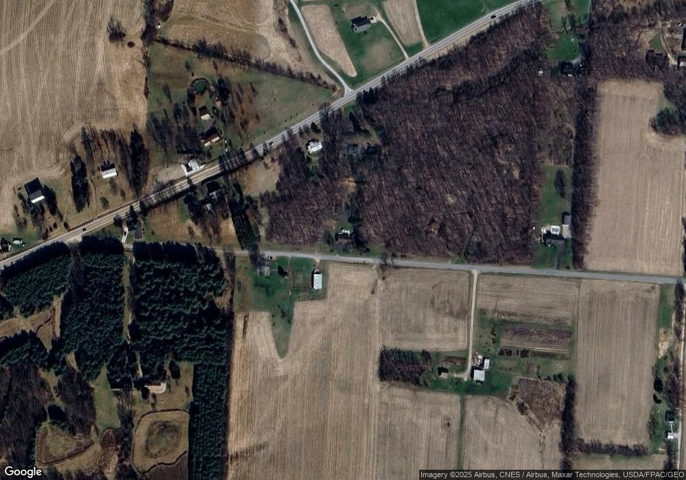
Map
Nearby Homes
- 14702 Wooster Rd
- 17970 Scott Rd
- 14499 Wooster Rd
- 0 N Liberty Rd
- 14021 Gilchrist Rd
- 13999 Wooster Rd
- 14914 N Liberty Rd
- 15770 Pleasant View Rd
- 13618 Gilchrist Rd
- 12627 Upper Gilchrist Rd
- 15745 Lower Fredericktown Amity Rd
- 1737 Vernonview Dr
- 0 Hyatt Rd
- 188 Plymouth Rd
- 117 Colonial Woods Dr
- 104 Colonial Woods Dr Unit 4
- 15066 Monroe Mills Rd
- 15014 Monroe Mills Rd
- 14594 Monroe Mills Rd
- 17939 Scott Rd
- 17880 Scott Rd
- 15182 Wooster Rd
- 15182 Wooster Rd
- 15122 Wooster Rd
- 15135 Wooster Rd
- 15121 Wooster Rd
- 17761 Scott Rd
- 18111 Scott Rd
- 15195 Wooster Rd
- 15091 Wooster Rd
- 15280 Wooster Rd
- 15251 Wooster Rd
- 15063 Wooster Rd
- 15043 Wooster Rd
- 15320 Wooster Rd
- 18222 Scott Rd
- 15027 Wooster Rd
- 15019 Wooster Rd
- 15010 Wooster Rd