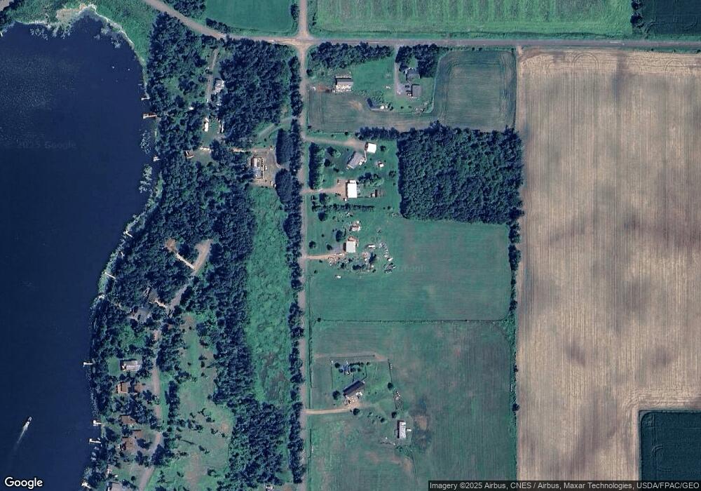
1794 70th St Balsam Lake, WI 54810
Estimated Value: $166,946 - $321,000
--
Bed
--
Bath
--
Sq Ft
7.83
Acres
About This Home
This home is located at 1794 70th St, Balsam Lake, WI 54810 and is currently estimated at $246,487. 1794 70th St is a home located in Polk County with nearby schools including Unity Elementary School, Unity Middle School, and Unity High School.
Ownership History
Date
Name
Owned For
Owner Type
Purchase Details
Closed on
Jul 6, 2016
Sold by
Mattson Sandra L and Mattson Nichole
Bought by
Mattson Sandra L and Osterloh Carol J
Current Estimated Value
Home Financials for this Owner
Home Financials are based on the most recent Mortgage that was taken out on this home.
Original Mortgage
$48,000
Outstanding Balance
$22,352
Interest Rate
4.25%
Mortgage Type
Adjustable Rate Mortgage/ARM
Estimated Equity
$224,135
Purchase Details
Closed on
Jun 17, 2010
Sold by
Mattson Sandra L
Bought by
Mattson Sandra L
Create a Home Valuation Report for This Property
The Home Valuation Report is an in-depth analysis detailing your home's value as well as a comparison with similar homes in the area
Home Values in the Area
Average Home Value in this Area
Purchase History
| Date | Buyer | Sale Price | Title Company |
|---|---|---|---|
| Mattson Sandra L | -- | Land Title Inc | |
| Mattson Sandra L | $62,000 | -- |
Source: Public Records
Mortgage History
| Date | Status | Borrower | Loan Amount |
|---|---|---|---|
| Open | Mattson Sandra L | $48,000 |
Source: Public Records
Tax History Compared to Growth
Tax History
| Year | Tax Paid | Tax Assessment Tax Assessment Total Assessment is a certain percentage of the fair market value that is determined by local assessors to be the total taxable value of land and additions on the property. | Land | Improvement |
|---|---|---|---|---|
| 2024 | $987 | $107,300 | $25,700 | $81,600 |
| 2023 | $920 | $107,400 | $25,800 | $81,600 |
| 2022 | $921 | $107,400 | $25,800 | $81,600 |
| 2021 | $843 | $66,800 | $22,200 | $44,600 |
| 2020 | $803 | $62,300 | $22,200 | $40,100 |
| 2019 | $801 | $62,300 | $22,200 | $40,100 |
| 2018 | $1,179 | $62,300 | $22,200 | $40,100 |
| 2017 | $848 | $62,300 | $22,200 | $40,100 |
| 2016 | $793 | $62,300 | $22,200 | $40,100 |
| 2015 | $818 | $62,300 | $22,200 | $40,100 |
| 2013 | $883 | $62,300 | $22,200 | $40,100 |
| 2012 | $915 | $62,800 | $22,400 | $40,400 |
Source: Public Records
Map
Nearby Homes
- 1794 W White Ash Dr
- 1737 E White Ash Ln
- 1728 W White Ash Dr
- 1722 W White Ash Dr
- 1605 S White Ash Ln
- Xxx 74th St
- XXX 74th St
- 2029 Richardson Ct
- 602 E Round Lake Ave
- XX 140th Ave
- 1911 W Bone Lake Dr
- 1348 70th St
- 562 138th Ave
- Xx 70th Ave
- 00 70th St
- 998 140th Ave
- 609 Us Highway 8
- 2282 71st St
- 545 US Highway 8
- 1380 101st Cir
- 1798 70th St
- 692 180th Ave
- 1776 70th St
- 1795 Belisle Ct
- 1797 70th St
- 1799 70th St
- 1791 Belisle Ct
- 706 180th Ave
- 0 180th Ave
- 1789 Belisle Ct
- 1799 Belisle Ct
- 1789 Xxx Belisle Ct
- Lot 1 Belisle Ct
- 1767 70th St
- 1781 Belisle Ct
- 1779 Belisle Ct
- 1777 Belisle Ct
- 1775 Belisle Ct
- 1773 Belisle Ct
- 1771 Belisle Ct
