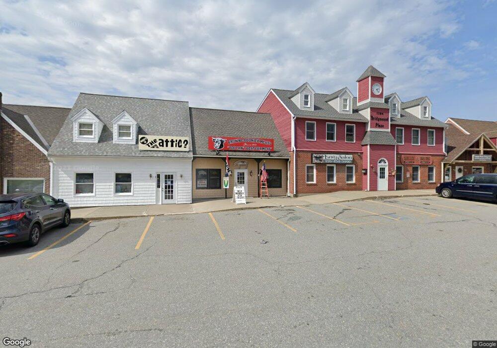
1794 Bridge St Unit 31 Dracut, MA 01826
Estimated Value: $233,631
--
Bed
--
Bath
1,272
Sq Ft
$184/Sq Ft
Est. Value
About This Home
This home is located at 1794 Bridge St Unit 31, Dracut, MA 01826 and is currently estimated at $233,631, approximately $183 per square foot. 1794 Bridge St Unit 31 is a home located in Middlesex County with nearby schools including Greenmont Avenue School, Richardson Middle School, and Dracut Senior High School.
Ownership History
Date
Name
Owned For
Owner Type
Purchase Details
Closed on
Nov 6, 2025
Sold by
Lewis Laure M
Bought by
Lewis Ret and Lewis
Current Estimated Value
Purchase Details
Closed on
Apr 27, 1998
Sold by
Skambas Barbara
Bought by
Dias Laure
Home Financials for this Owner
Home Financials are based on the most recent Mortgage that was taken out on this home.
Original Mortgage
$33,000
Interest Rate
7.11%
Mortgage Type
Commercial
Purchase Details
Closed on
Apr 3, 1987
Sold by
K & K Equipment Inc
Bought by
Skambas Barbara
Home Financials for this Owner
Home Financials are based on the most recent Mortgage that was taken out on this home.
Original Mortgage
$72,000
Interest Rate
9.11%
Mortgage Type
Commercial
Create a Home Valuation Report for This Property
The Home Valuation Report is an in-depth analysis detailing your home's value as well as a comparison with similar homes in the area
Home Values in the Area
Average Home Value in this Area
Purchase History
| Date | Buyer | Sale Price | Title Company |
|---|---|---|---|
| Lewis Ret | -- | -- | |
| Dias Laure | $55,000 | -- | |
| Dias Laure | $55,000 | -- | |
| Skambas Barbara | $102,000 | -- |
Source: Public Records
Mortgage History
| Date | Status | Borrower | Loan Amount |
|---|---|---|---|
| Previous Owner | Skambas Barbara | $33,000 | |
| Previous Owner | Skambas Barbara | $72,000 |
Source: Public Records
Tax History Compared to Growth
Tax History
| Year | Tax Paid | Tax Assessment Tax Assessment Total Assessment is a certain percentage of the fair market value that is determined by local assessors to be the total taxable value of land and additions on the property. | Land | Improvement |
|---|---|---|---|---|
| 2025 | $1,458 | $144,100 | $0 | $144,100 |
| 2024 | $1,668 | $159,600 | $0 | $159,600 |
| 2023 | $1,584 | $136,800 | $0 | $136,800 |
| 2022 | $1,467 | $119,400 | $0 | $119,400 |
| 2021 | $1,553 | $119,400 | $0 | $119,400 |
| 2020 | $1,545 | $115,700 | $0 | $115,700 |
| 2019 | $1,627 | $118,300 | $0 | $118,300 |
| 2018 | $1,561 | $110,400 | $0 | $110,400 |
| 2017 | $1,582 | $110,400 | $0 | $110,400 |
| 2016 | $1,564 | $105,400 | $0 | $105,400 |
| 2015 | $1,574 | $105,400 | $0 | $105,400 |
| 2014 | $1,598 | $110,300 | $0 | $110,300 |
Source: Public Records
Map
Nearby Homes
- 26 Frank St
- 20 Esther Way Unit 11
- 19 Esther Way Unit Lot 10
- 321 Old Marsh Hill Rd
- 1572 Bridge St
- 190 Old Rd
- 174 Old Rd
- 157 Old Rd
- 109 Meadow Creek Dr
- 77 Christy Ave
- 315 Broadway Rd Unit 7
- 18 Stone St
- 25 Tobey Rd Unit 57
- 100 Cass Ave Unit A13
- 83 Turgeon Ave
- 35 Thissell Ave
- 12 Pemberton St
- 35 Camilla Ave
- 363 Hildreth St Unit 11
- 345 Hildreth St Unit 14
- 1794 Bridge St
- 1794 Bridge St Unit 32
- 1794 Bridge St Unit 8A
- 1794 Bridge St Unit 33A,34A
- 1794 Bridge St Unit 12
- 1794 Bridge St Unit 5B
- 1794 Bridge St Unit 29
- 1794 Bridge St Unit 26 A
- 1794 Bridge St Unit 17B
- 1794 Bridge St Unit 6
- 1794 Bridge St Unit 30B
- 1794 Bridge St Unit 8B
- 1794 Bridge St Unit 33B
- 1794 Bridge St Unit 33A
- 1794 Bridge St Unit 13B
- 1794 Bridge St Unit 26A
- 1794 Bridge St Unit 5A
- 1794 Bridge St Unit 30A
- 1794 Bridge St Unit 27B
- 1794 Bridge St Unit 27A