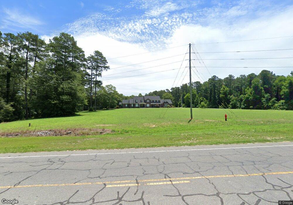
1794 N Us Highway 220 Ellerbe, NC 28338
Estimated Value: $113,000 - $696,506
--
Bed
1
Bath
1,364
Sq Ft
$245/Sq Ft
Est. Value
About This Home
This home is located at 1794 N Us Highway 220, Ellerbe, NC 28338 and is currently estimated at $333,835, approximately $244 per square foot. 1794 N Us Highway 220 is a home with nearby schools including Mineral Springs Elementary School, Ellerbe Middle School, and Ashley Chapel Educational Center.
Ownership History
Date
Name
Owned For
Owner Type
Purchase Details
Closed on
Aug 30, 2017
Sold by
Fidelity Bank
Bought by
Grant Neal and Grant Lana
Current Estimated Value
Home Financials for this Owner
Home Financials are based on the most recent Mortgage that was taken out on this home.
Original Mortgage
$5,000,000
Outstanding Balance
$4,170,860
Interest Rate
3.86%
Estimated Equity
-$3,837,025
Purchase Details
Closed on
Feb 15, 2002
Bought by
Grant Neal H and Grant Lana
Create a Home Valuation Report for This Property
The Home Valuation Report is an in-depth analysis detailing your home's value as well as a comparison with similar homes in the area
Home Values in the Area
Average Home Value in this Area
Purchase History
| Date | Buyer | Sale Price | Title Company |
|---|---|---|---|
| Grant Neal | -- | -- | |
| Grant Neal H | $500 | -- |
Source: Public Records
Mortgage History
| Date | Status | Borrower | Loan Amount |
|---|---|---|---|
| Open | Grant Neal | $5,000,000 | |
| Closed | Grant Neal | -- |
Source: Public Records
Tax History Compared to Growth
Tax History
| Year | Tax Paid | Tax Assessment Tax Assessment Total Assessment is a certain percentage of the fair market value that is determined by local assessors to be the total taxable value of land and additions on the property. | Land | Improvement |
|---|---|---|---|---|
| 2025 | $5,113 | $702,742 | $50,322 | $652,420 |
| 2024 | $5,247 | $702,742 | $50,322 | $652,420 |
| 2023 | $4,096 | $486,731 | $28,382 | $458,349 |
| 2022 | $4,096 | $486,731 | $28,382 | $458,349 |
| 2021 | $4,092 | $486,731 | $28,382 | $458,349 |
| 2020 | $4,088 | $486,731 | $28,382 | $458,349 |
| 2019 | $4,060 | $486,731 | $28,382 | $458,349 |
| 2018 | $4,060 | $486,731 | $28,382 | $458,349 |
| 2016 | $3,870 | $486,731 | $28,382 | $458,349 |
| 2014 | -- | $371,695 | $25,405 | $346,290 |
Source: Public Records
Map
Nearby Homes
- 101 Park St
- 3 Green Lake Rd
- 116 Crawford Rd
- 140 Mill St
- 2395 U S 220
- 130 Michael Maezyck Rd
- 0 Crawford St
- 219 Wallace Rd
- 277 Old Woods Rd
- 370 N Carolina 73
- 8 Country
- 7 Country
- 110 Haywood Cemetery Rd
- 119 Dockery Rd
- 130 Michael Mazyck Rd
- 144 Grey Fox Rd
- 00 Dockery Rd
- 299 Rankin Lake Rd
- 212 Guardian Way
- 274 Harrington Rd
- 1826 N Us Highway 220
- 1836 N Us Highway 220
- 1850 N Us Highway 220
- 106 Dogwood Dr
- 1917 N Us Highway 220
- 1874 N Us Highway 220
- 162 Dogwood Dr
- 207 Dogwood Dr
- 1882 N Us Highway 220
- 1900 N Us Highway 220
- 2101 N Us Highway 220
- 2107 N Us Highway 220
- 2111 N Us Highway 220
- 153 Park St
- 0 I 73 74 Corridor Unit 100302204
- 0 I 73 74 Corridor Unit 100301561
- 0000 Robinson Ave
- 110 Robinson St
- 130 2nd St
- 120 Robinson St