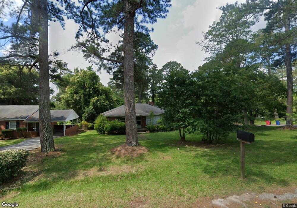
1794 Upper River Rd Macon, GA 31211
Estimated Value: $122,000 - $143,000
3
Beds
2
Baths
1,390
Sq Ft
$95/Sq Ft
Est. Value
About This Home
This home is located at 1794 Upper River Rd, Macon, GA 31211 and is currently estimated at $132,093, approximately $95 per square foot. 1794 Upper River Rd is a home located in Bibb County with nearby schools including Martin Luther King Jr. Elementary School, Appling Middle School, and Northeast High School.
Ownership History
Date
Name
Owned For
Owner Type
Purchase Details
Closed on
Aug 31, 2007
Sold by
Neisler Jeff
Bought by
Smith Ken
Current Estimated Value
Purchase Details
Closed on
Aug 26, 2005
Sold by
Williams Leashell
Bought by
Maddox Timothy
Home Financials for this Owner
Home Financials are based on the most recent Mortgage that was taken out on this home.
Original Mortgage
$90,000
Interest Rate
6.95%
Mortgage Type
Adjustable Rate Mortgage/ARM
Purchase Details
Closed on
Dec 14, 2004
Purchase Details
Closed on
Feb 24, 2003
Create a Home Valuation Report for This Property
The Home Valuation Report is an in-depth analysis detailing your home's value as well as a comparison with similar homes in the area
Purchase History
| Date | Buyer | Sale Price | Title Company |
|---|---|---|---|
| Smith Ken | $61,254 | None Available | |
| Maddox Timothy | $99,000 | None Available | |
| -- | -- | -- | |
| -- | $82,000 | -- |
Source: Public Records
Mortgage History
| Date | Status | Borrower | Loan Amount |
|---|---|---|---|
| Previous Owner | Maddox Timothy | $90,000 |
Source: Public Records
Tax History
| Year | Tax Paid | Tax Assessment Tax Assessment Total Assessment is a certain percentage of the fair market value that is determined by local assessors to be the total taxable value of land and additions on the property. | Land | Improvement |
|---|---|---|---|---|
| 2025 | $919 | $37,387 | $5,200 | $32,187 |
| 2024 | $950 | $37,387 | $5,200 | $32,187 |
| 2023 | $823 | $38,128 | $5,200 | $32,928 |
| 2022 | $765 | $28,984 | $2,150 | $26,834 |
| 2021 | $648 | $17,044 | $1,920 | $15,124 |
| 2020 | $662 | $17,044 | $1,920 | $15,124 |
| 2019 | $667 | $17,044 | $1,920 | $15,124 |
| 2018 | $1,202 | $17,044 | $1,920 | $15,124 |
| 2017 | $639 | $17,044 | $1,920 | $15,124 |
| 2016 | $590 | $17,044 | $1,920 | $15,124 |
| 2015 | $835 | $17,044 | $1,920 | $15,124 |
| 2014 | $960 | $17,044 | $1,920 | $15,124 |
Source: Public Records
Map
Nearby Homes
- 1735 Foster Place
- 1715 Foster Place
- 1746 Hamilton Dr
- 1949 Deerwood Place
- 1485 Lone Oak Dr
- 1972 Wood Valley Rd
- 1954 Wood Valley Rd
- 1978 Wood Valley Rd
- 1898 Wood Valley Rd
- 1987 Long Ridge Dr
- 1976 Long Ridge Dr
- 1971 Long Ridge Dr
- 1916 Flintwood Dr
- 1825 Flintwood Dr
- 1868 Waverland Dr
- 1435 Twin Pines Dr
- 1728 Waverland Cir
- 1154 Davis Cir
- 1464 Twin Pines Dr
- 1174 Davis St E
- 1782 Upper River Rd
- 1770 Upper River Rd
- 1755 Foster Place
- 1808 Upper River Rd
- 1776 Foster Place
- 1764 Upper River Rd
- 1772 Foster Place
- 1745 Foster Place
- 1803 Kirkwood Dr
- 1770 Foster Place
- 1758 Upper River Rd
- 1816 Upper River Rd
- 1758 Foster Place
- 1725 Foster Place
- 1804 Kirkwood Dr
- 1752 Upper River Rd
- 1817 Kirkwood Dr
- 1795 Lincoln Cir
- 1738 Hamilton Dr
- 1746 Upper River Rd
Your Personal Tour Guide
Ask me questions while you tour the home.