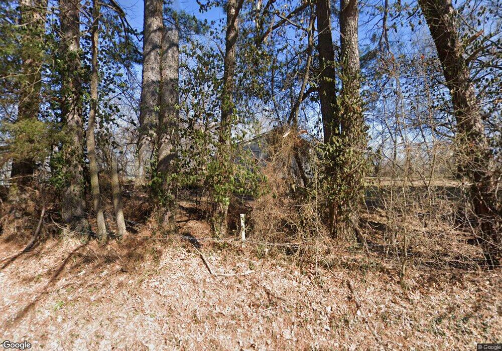
17942 E Highway 412 Springdale, AR 72764
Estimated Value: $230,397 - $360,000
--
Bed
2
Baths
1,205
Sq Ft
$221/Sq Ft
Est. Value
About This Home
This home is located at 17942 E Highway 412, Springdale, AR 72764 and is currently estimated at $265,849, approximately $220 per square foot. 17942 E Highway 412 is a home located in Washington County with nearby schools including Sonora Elementary School, Sonora Middle School, and Lakeside Junior High School.
Ownership History
Date
Name
Owned For
Owner Type
Purchase Details
Closed on
Mar 11, 2025
Sold by
Lane Randall Dion
Bought by
Lane Randall Dion and Lane Zo A
Current Estimated Value
Home Financials for this Owner
Home Financials are based on the most recent Mortgage that was taken out on this home.
Original Mortgage
$100,000
Outstanding Balance
$97,567
Interest Rate
6.05%
Mortgage Type
New Conventional
Estimated Equity
$168,282
Purchase Details
Closed on
Jun 17, 2005
Sold by
Lane Randall
Bought by
Phillips Alma
Home Financials for this Owner
Home Financials are based on the most recent Mortgage that was taken out on this home.
Original Mortgage
$67,200
Interest Rate
5.76%
Mortgage Type
Fannie Mae Freddie Mac
Purchase Details
Closed on
Sep 22, 1995
Bought by
Lane Randall
Purchase Details
Closed on
Dec 22, 1993
Bought by
Jones Roy Sheldon
Create a Home Valuation Report for This Property
The Home Valuation Report is an in-depth analysis detailing your home's value as well as a comparison with similar homes in the area
Home Values in the Area
Average Home Value in this Area
Purchase History
| Date | Buyer | Sale Price | Title Company |
|---|---|---|---|
| Lane Randall Dion | -- | Servicelink | |
| Phillips Alma | $84,000 | Waco Title Company | |
| Lane Randall | $75,000 | -- | |
| Jones Roy Sheldon | $75,000 | -- |
Source: Public Records
Mortgage History
| Date | Status | Borrower | Loan Amount |
|---|---|---|---|
| Open | Lane Randall Dion | $100,000 | |
| Previous Owner | Phillips Alma | $67,200 |
Source: Public Records
Tax History Compared to Growth
Tax History
| Year | Tax Paid | Tax Assessment Tax Assessment Total Assessment is a certain percentage of the fair market value that is determined by local assessors to be the total taxable value of land and additions on the property. | Land | Improvement |
|---|---|---|---|---|
| 2025 | $537 | $38,040 | $11,000 | $27,040 |
| 2024 | $591 | $38,040 | $11,000 | $27,040 |
| 2023 | $1,064 | $38,040 | $11,000 | $27,040 |
| 2022 | $988 | $20,180 | $6,000 | $14,180 |
| 2021 | $988 | $20,180 | $6,000 | $14,180 |
| 2020 | $921 | $20,180 | $6,000 | $14,180 |
| 2019 | $841 | $17,050 | $5,000 | $12,050 |
| 2018 | $841 | $17,050 | $5,000 | $12,050 |
| 2017 | $793 | $17,050 | $5,000 | $12,050 |
| 2016 | $833 | $17,050 | $5,000 | $12,050 |
| 2015 | $833 | $17,050 | $5,000 | $12,050 |
| 2014 | $881 | $18,080 | $5,000 | $13,080 |
Source: Public Records
Map
Nearby Homes
- 17950 Cate Farm Rd
- 18246 Oakridge Rd
- 20482 Sonora Acres Rd
- 18561 South St
- 18561 & 18565 South St
- 20621 Hillcrest Dr
- 18565 South St
- 20643 Justin Dr
- 21160 Perry Rd
- 18649 Saddle Shop Ln
- 20855 Ridge Dr
- 0 Hewitt Springs Rd Unit 1307945
- 0 N Lakeshore Wc 1064
- 20589 Blue Springs Rd
- 19135 Shoreline Way
- 19129 Shoreline Way
- 21823 Friendship View Dr
- 21732 Chinquapin Rd
- 18904 Shoreline
- 18932 Shoreline Way
- 20470 Perry Rd
- 17866 E Highway 412
- 20374 Sherry Rd
- 17866 E Hwy 412
- 20473 Perry Rd
- 17922 E Highway 412
- 17960 E Highway 412
- 7880 S W Regional Airport Rd
- 20346 Sherry Rd
- 20346 Sherry Rd
- 20322 Sherry Rd
- 20321 Sherry Rd
- 20288 Sherry Rd
- 18000 E Highway 412
- 18000 E Highway 412
- 17853 E Highway 412
- 20256 Sherry Rd
- 17930 Cate Farm Rd
- 20565 Perry Rd
- 17925 Cate Farm Rd
