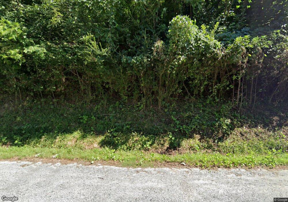
17946 W Us Highway 64 Murphy, NC 28906
Estimated Value: $469,000 - $566,000
4
Beds
2
Baths
2,010
Sq Ft
$253/Sq Ft
Est. Value
About This Home
This home is located at 17946 W Us Highway 64, Murphy, NC 28906 and is currently estimated at $507,766, approximately $252 per square foot. 17946 W Us Highway 64 is a home located in Cherokee County with nearby schools including Ranger Elementary/Middle School and Hiwassee Dam High School.
Ownership History
Date
Name
Owned For
Owner Type
Purchase Details
Closed on
Jul 23, 2021
Sold by
Herman Linda H
Bought by
Travaglino Christopher M and Travaglino Kimberly C
Current Estimated Value
Home Financials for this Owner
Home Financials are based on the most recent Mortgage that was taken out on this home.
Original Mortgage
$308,000
Outstanding Balance
$279,462
Interest Rate
2.9%
Mortgage Type
New Conventional
Estimated Equity
$228,304
Purchase Details
Closed on
May 27, 2014
Sold by
Longairc Jeannette
Bought by
Herman Linda H
Home Financials for this Owner
Home Financials are based on the most recent Mortgage that was taken out on this home.
Original Mortgage
$140,000
Interest Rate
4.23%
Mortgage Type
Future Advance Clause Open End Mortgage
Purchase Details
Closed on
Jan 1, 1970
Bought by
Burrell Jacqueline
Create a Home Valuation Report for This Property
The Home Valuation Report is an in-depth analysis detailing your home's value as well as a comparison with similar homes in the area
Home Values in the Area
Average Home Value in this Area
Purchase History
| Date | Buyer | Sale Price | Title Company |
|---|---|---|---|
| Travaglino Christopher M | $385,000 | None Available | |
| Herman Linda H | $190,000 | None Available | |
| Burrell Jacqueline | -- | -- |
Source: Public Records
Mortgage History
| Date | Status | Borrower | Loan Amount |
|---|---|---|---|
| Open | Travaglino Christopher M | $308,000 | |
| Previous Owner | Herman Linda H | $140,000 |
Source: Public Records
Tax History Compared to Growth
Tax History
| Year | Tax Paid | Tax Assessment Tax Assessment Total Assessment is a certain percentage of the fair market value that is determined by local assessors to be the total taxable value of land and additions on the property. | Land | Improvement |
|---|---|---|---|---|
| 2025 | $2,521 | $348,020 | $0 | $0 |
| 2024 | $2,217 | $304,520 | $0 | $0 |
| 2023 | $2,039 | $304,520 | $0 | $0 |
| 2022 | $2,039 | $304,520 | $0 | $0 |
| 2021 | $0 | $302,670 | $67,630 | $235,040 |
| 2020 | $1,200 | $302,670 | $0 | $0 |
| 2019 | $1,200 | $201,260 | $0 | $0 |
| 2018 | $1,200 | $201,260 | $0 | $0 |
| 2017 | $0 | $201,260 | $0 | $0 |
| 2016 | $1,200 | $201,260 | $0 | $0 |
| 2015 | -- | $201,260 | $51,420 | $149,840 |
| 2012 | -- | $201,260 | $51,420 | $149,840 |
Source: Public Records
Map
Nearby Homes
- 235 Oak Ridge Estate
- 16 Merlin Trail
- 15 Merlin Trail
- L46 Warbler Rd
- 39 Grackle Rd
- 445 Tranquil Cove Rd
- 349 Kirby Ln
- 118 Hothouse Creek Rd
- LOT 76 Turkey Pen Dr
- 1 Bartin Ridge
- 00 Helton Rd
- 240 Devore Rd
- 572 Old Fain Rd
- Lot 20 Wolf Ridge Ln
- LOT20 Wolf Ridge Ln
- 19105 U S 64
- 500 Scenic Vista Dr
- 00 Soaring Eagle Dr
- 00 Talon Dr
- 124 Graystone Dr
- 17946 U S 64
- 17946 Hwy 64w
- 235 Oak Ridge Estate
- 295 Oak Ridge Estate
- 295 Oak Ridge Estate Unit 4
- 97 Beak Rd
- 295 Oak Ridge Estates
- 270 Oak Ridge Estate
- 80 Buck Ridge Trail
- LOT Oak Ridge Estate
- 1 Oak Ridge Estate
- 4 Oak Ridge Estate
- 18 Oak Ridge Estate
- 6 Oak Ridge Estate
- 23 Oak Ridge Estate
- L 18 Oak Ridge Estate
- Lot 18 Oak Ridge Estate
- 0 Oak Ridge Estate
- 5 Buck Ridge Trail
- 57 Buck Ridge Trail
