1794B Drift Rd Westport, MA 02790
Westport Point NeighborhoodEstimated Value: $1,191,000 - $1,766,561
4
Beds
--
Bath
3,030
Sq Ft
$476/Sq Ft
Est. Value
About This Home
This home is located at 1794B Drift Rd, Westport, MA 02790 and is currently estimated at $1,441,140, approximately $475 per square foot. 1794B Drift Rd is a home with nearby schools including Alice A. Macomber Primary School and Westport Elementary School.
Ownership History
Date
Name
Owned For
Owner Type
Purchase Details
Closed on
Jul 29, 2009
Sold by
Bragg-Lanier Catherine
Bought by
Larner Anne M and Larner Robert J
Current Estimated Value
Home Financials for this Owner
Home Financials are based on the most recent Mortgage that was taken out on this home.
Original Mortgage
$320,000
Outstanding Balance
$210,971
Interest Rate
5.43%
Mortgage Type
Purchase Money Mortgage
Estimated Equity
$1,230,169
Create a Home Valuation Report for This Property
The Home Valuation Report is an in-depth analysis detailing your home's value as well as a comparison with similar homes in the area
Home Values in the Area
Average Home Value in this Area
Purchase History
| Date | Buyer | Sale Price | Title Company |
|---|---|---|---|
| Larner Anne M | $520,000 | -- | |
| Larner Anne M | $520,000 | -- |
Source: Public Records
Mortgage History
| Date | Status | Borrower | Loan Amount |
|---|---|---|---|
| Open | Larner Anne M | $320,000 | |
| Closed | Larner Anne M | $320,000 |
Source: Public Records
Tax History Compared to Growth
Tax History
| Year | Tax Paid | Tax Assessment Tax Assessment Total Assessment is a certain percentage of the fair market value that is determined by local assessors to be the total taxable value of land and additions on the property. | Land | Improvement |
|---|---|---|---|---|
| 2025 | $8,775 | $1,177,900 | $567,300 | $610,600 |
| 2024 | $8,770 | $1,134,600 | $528,300 | $606,300 |
| 2023 | $8,318 | $1,019,400 | $505,000 | $514,400 |
| 2022 | $8,434 | $994,600 | $505,000 | $489,600 |
| 2021 | $7,855 | $911,300 | $421,700 | $489,600 |
| 2020 | $7,552 | $895,800 | $406,200 | $489,600 |
| 2019 | $7,275 | $879,700 | $406,200 | $473,500 |
| 2018 | $3,657 | $927,100 | $398,800 | $528,300 |
| 2017 | $7,392 | $927,500 | $398,800 | $528,700 |
| 2016 | $6,956 | $879,400 | $398,800 | $480,600 |
| 2015 | -- | $862,800 | $411,300 | $451,500 |
Source: Public Records
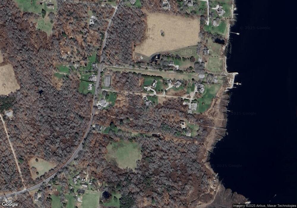
Map
Nearby Homes
- 1794 Drift Rd Unit E
- 1734 Drift Rd
- 1749 Main Rd
- 7 Taber Ln
- 2043 Main Rd
- 1518 Drift Rd
- 15 Cherry & Webb Unit 2C
- 1404 Drift Rd
- 1371 Drift Rd
- 99 Sylvia Ln
- 1346 Main Rd Unit B
- 1069 Horseneck Rd
- 37 Glen Rd
- 79 Gidley Ln
- Lot 2 Horseneck Rd
- 19 Seabury Ln
- 238-242 E Beach Rd
- 225 Hixbridge Rd
- 177 Howland Rd
- 25 Brayton Point Rd
- 1794D Drift Rd
- 1794 Drift Rd
- 1794 Drift Rd Unit VAC or YEAR
- 1794 Drift Rd Unit VAC RENTAL
- 1794F Drift Rd
- 1782 Drift Rd
- 1804 Drift Rd
- 1806 Drift Rd
- 1800 Drift Rd
- 1702H Drift Rd
- 1702 Drift Rd Unit H
- 1702 Drift Rd Unit G
- 1702 Drift Rd Unit E
- 1702 Drift Rd Unit J
- 1702 Drift Rd
- 1702 Drift Rd Unit F
- 1702 Drift Rd Unit D
- 1702 Drift Rd Unit C
- 1702 Drift Rd Unit A
- 1702 Drift Rd Unit B