1795 Brookside Lay Cir Unit 12 Norcross, GA 30093
Estimated Value: $279,000 - $314,000
3
Beds
3
Baths
1,518
Sq Ft
$194/Sq Ft
Est. Value
About This Home
This home is located at 1795 Brookside Lay Cir Unit 12, Norcross, GA 30093 and is currently estimated at $295,028, approximately $194 per square foot. 1795 Brookside Lay Cir Unit 12 is a home located in Gwinnett County with nearby schools including Graves Elementary School, Louise Radloff Middle School, and Meadowcreek High School.
Ownership History
Date
Name
Owned For
Owner Type
Purchase Details
Closed on
Feb 24, 2021
Sold by
Studen Emira
Bought by
Jackson Harry W
Current Estimated Value
Purchase Details
Closed on
Sep 21, 2012
Sold by
Fmsh Investments Llc
Bought by
Studen Emira
Home Financials for this Owner
Home Financials are based on the most recent Mortgage that was taken out on this home.
Original Mortgage
$98,188
Interest Rate
3.62%
Mortgage Type
FHA
Create a Home Valuation Report for This Property
The Home Valuation Report is an in-depth analysis detailing your home's value as well as a comparison with similar homes in the area
Home Values in the Area
Average Home Value in this Area
Purchase History
| Date | Buyer | Sale Price | Title Company |
|---|---|---|---|
| Jackson Harry W | $208,000 | -- | |
| Studen Emira | $100,000 | -- |
Source: Public Records
Mortgage History
| Date | Status | Borrower | Loan Amount |
|---|---|---|---|
| Previous Owner | Studen Emira | $98,188 |
Source: Public Records
Tax History Compared to Growth
Tax History
| Year | Tax Paid | Tax Assessment Tax Assessment Total Assessment is a certain percentage of the fair market value that is determined by local assessors to be the total taxable value of land and additions on the property. | Land | Improvement |
|---|---|---|---|---|
| 2025 | $3,442 | $122,840 | $14,000 | $108,840 |
| 2024 | $3,607 | $125,040 | $14,000 | $111,040 |
| 2023 | $3,607 | $120,280 | $22,000 | $98,280 |
| 2022 | $2,755 | $83,200 | $12,400 | $70,800 |
| 2021 | $2,185 | $82,840 | $12,400 | $70,440 |
| 2020 | $2,206 | $82,840 | $12,400 | $70,440 |
| 2019 | $2,031 | $76,840 | $12,400 | $64,440 |
| 2018 | $1,833 | $67,240 | $12,400 | $54,840 |
| 2016 | $1,495 | $51,640 | $8,400 | $43,240 |
| 2015 | $1,507 | $51,640 | $8,400 | $43,240 |
| 2014 | -- | $51,640 | $8,400 | $43,240 |
Source: Public Records
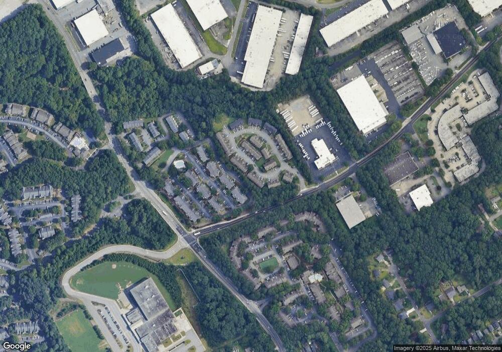
Map
Nearby Homes
- 805 Olde Mill Ln
- 1763 Brookside Lay Cir
- 1797 Brookside Lay Cir
- 6658 Witherington Ct NW
- 6636 Witherington Ct NW
- 6636 Witherington Ct
- 6630 Witherington Ct Unit 601
- 6668 E Windsor Ln
- 6711 Colchester Place
- 6715 Colchester Place
- 6718 Colchester Place Unit 205
- 6716 Colchester Place
- 843 Seasons Pkwy
- 6419 Danbury Ln
- 1035 Seasons Pkwy Unit 1035
- 6606 Wellington Square
- 6622 Wellington Square
- 1596 Village Dr
- 1576 Village Dr
- 3539 Mount Vernon Cir
- 1793 Brookside Lay Cir Unit 1793
- 1793 Brookside Lay Cir
- 1795 Brookside Lay Cir
- 1789 Brookside Lay Cir
- 1799 Brookside Lay Cir Unit 10
- 1799 Brookside Lay Cir
- 1787 Brookside Lay Cir
- 1801 Brookside Lay Cir Unit 9
- 1801 Brookside Lay Cir
- 1785 Brookside Lay Cir Unit 16
- 1785 Brookside Lay Cir
- 1803 Brookside Lay Cir
- 1783 Brookside Lay Cir
- 901 Olde Mill Ln
- 1002 Olde Mill Ln
- 1001 Olde Mill Ln
- 1808 Brookside Lay Cir
- 1005 Olde Mill Ln
- 1781 Brookside Lay Cir
- 906 Olde Mill Ln Unit 906