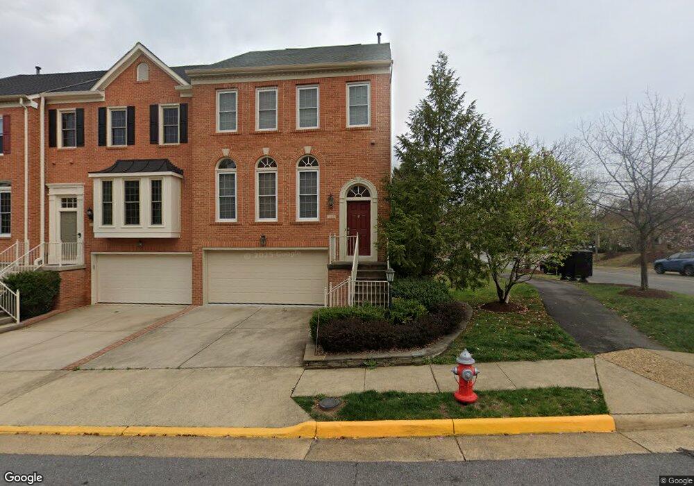
1795 Dawson St Vienna, VA 22182
Tysons Corner NeighborhoodEstimated Value: $1,066,750 - $1,096,000
3
Beds
4
Baths
2,064
Sq Ft
$524/Sq Ft
Est. Value
About This Home
This home is located at 1795 Dawson St, Vienna, VA 22182 and is currently estimated at $1,081,688, approximately $524 per square foot. 1795 Dawson St is a home located in Fairfax County with nearby schools including Westbriar Elementary School, Kilmer Middle School, and Marshall High School.
Ownership History
Date
Name
Owned For
Owner Type
Purchase Details
Closed on
Apr 22, 2005
Sold by
Fruman Stuart A
Bought by
Barrett Ronald M
Current Estimated Value
Home Financials for this Owner
Home Financials are based on the most recent Mortgage that was taken out on this home.
Original Mortgage
$600,000
Outstanding Balance
$311,433
Interest Rate
5.87%
Mortgage Type
New Conventional
Estimated Equity
$770,256
Create a Home Valuation Report for This Property
The Home Valuation Report is an in-depth analysis detailing your home's value as well as a comparison with similar homes in the area
Home Values in the Area
Average Home Value in this Area
Purchase History
| Date | Buyer | Sale Price | Title Company |
|---|---|---|---|
| Barrett Ronald M | $750,000 | -- |
Source: Public Records
Mortgage History
| Date | Status | Borrower | Loan Amount |
|---|---|---|---|
| Open | Barrett Ronald M | $600,000 |
Source: Public Records
Tax History Compared to Growth
Tax History
| Year | Tax Paid | Tax Assessment Tax Assessment Total Assessment is a certain percentage of the fair market value that is determined by local assessors to be the total taxable value of land and additions on the property. | Land | Improvement |
|---|---|---|---|---|
| 2025 | $11,456 | $956,440 | $275,000 | $681,440 |
| 2024 | $11,456 | $947,930 | $275,000 | $672,930 |
| 2023 | $11,417 | $968,740 | $275,000 | $693,740 |
| 2022 | $10,022 | $876,410 | $250,000 | $626,410 |
| 2021 | $10,069 | $822,950 | $235,000 | $587,950 |
| 2020 | $9,902 | $802,760 | $235,000 | $567,760 |
| 2019 | $9,644 | $781,820 | $235,000 | $546,820 |
| 2018 | $8,818 | $766,790 | $230,000 | $536,790 |
| 2017 | $9,236 | $762,710 | $230,000 | $532,710 |
| 2016 | $8,950 | $740,600 | $220,000 | $520,600 |
| 2015 | $8,635 | $740,600 | $220,000 | $520,600 |
| 2014 | $8,142 | $705,810 | $210,000 | $495,810 |
Source: Public Records
Map
Nearby Homes
- 1724 Cy Ct
- 239 Old Courthouse Rd NE
- 305 Old Courthouse Rd NE
- 2113 Chain Bridge Rd
- 244 Old Courthouse Rd NE
- 401 Old Courthouse Rd NE
- 103 Saint Andrews Dr NE
- 8711 Westwood Dr
- 1650 Silver Hill Dr Unit 1206
- 1650 Silver Hill Dr Unit 2201
- 1650 Silver Hill Dr Unit 1007
- 1650 Silver Hill Dr Unit 1403
- 1650 Silver Hill Dr Unit 1002
- 1650 Silver Hill Dr Unit 1202
- 1650 Silver Hill Dr Unit 1205
- 1650 Silver Hill Dr Unit 1607
- 1650 Silver Hill Dr Unit 1901
- 8360 Greensboro Dr Unit 516
- 8340 Greensboro Dr Unit 401
- 8340 Greensboro Dr Unit 302
- 1793 Dawson St
- 1791 Dawson St
- 1789 Dawson St
- 1794 Paisley Ct
- 1792 Paisley Ct
- 1787 Dawson St
- 1790 Paisley Ct
- 1788 Paisley Ct
- 1796 Dawson St
- 1794 Dawson St
- 1792 Dawson St
- 1786 Paisley Ct
- 1790 Dawson St
- 1785 Dawson St
- 1788 Dawson St
- 1784 Paisley Ct
- 1800 Dawson St
- 1783 Dawson St
- 1807 Dawson St
- 1805 Dawson St