1795 Edwards Dr Point Roberts, WA 98281
Estimated Value: $1,278,000 - $1,497,562
2
Beds
2
Baths
2,177
Sq Ft
$625/Sq Ft
Est. Value
About This Home
This home is located at 1795 Edwards Dr, Point Roberts, WA 98281 and is currently estimated at $1,359,891, approximately $624 per square foot. 1795 Edwards Dr is a home located in Whatcom County with nearby schools including Point Roberts Primary School, Blaine Middle School, and Blaine High School.
Ownership History
Date
Name
Owned For
Owner Type
Purchase Details
Closed on
Aug 18, 2014
Sold by
Bordignon Giovanni and Bordignon Jane F
Bought by
Bordignon Jane F
Current Estimated Value
Purchase Details
Closed on
Dec 29, 2011
Sold by
A R Thomson Group
Bought by
Bordignon Giovanni and Bordignon Jane F H
Purchase Details
Closed on
Jun 29, 2000
Sold by
Calder Margaret
Bought by
A R Thomson Group
Create a Home Valuation Report for This Property
The Home Valuation Report is an in-depth analysis detailing your home's value as well as a comparison with similar homes in the area
Home Values in the Area
Average Home Value in this Area
Purchase History
| Date | Buyer | Sale Price | Title Company |
|---|---|---|---|
| Bordignon Jane F | -- | None Available | |
| Bordignon Giovanni | $1,150,280 | Chicago Title Insurance | |
| A R Thomson Group | -- | -- |
Source: Public Records
Tax History
| Year | Tax Paid | Tax Assessment Tax Assessment Total Assessment is a certain percentage of the fair market value that is determined by local assessors to be the total taxable value of land and additions on the property. | Land | Improvement |
|---|---|---|---|---|
| 2025 | $12,638 | $1,636,286 | $1,252,996 | $383,290 |
| 2024 | $11,702 | $1,620,114 | $1,240,636 | $379,478 |
| 2023 | $11,702 | $1,507,328 | $1,127,850 | $379,478 |
| 2022 | $11,235 | $1,376,555 | $1,030,000 | $346,555 |
| 2021 | $11,187 | $1,202,119 | $909,568 | $292,551 |
| 2020 | $11,104 | $1,113,056 | $842,180 | $270,876 |
| 2019 | $10,241 | $1,067,671 | $807,840 | $259,831 |
| 2018 | $10,493 | $959,825 | $726,240 | $233,585 |
| 2017 | $9,089 | $916,687 | $693,600 | $223,087 |
| 2016 | $9,685 | $898,713 | $680,000 | $218,713 |
| 2015 | $10,304 | $931,028 | $758,389 | $172,639 |
| 2014 | -- | $973,328 | $792,850 | $180,478 |
| 2013 | -- | $933,676 | $761,450 | $172,226 |
Source: Public Records
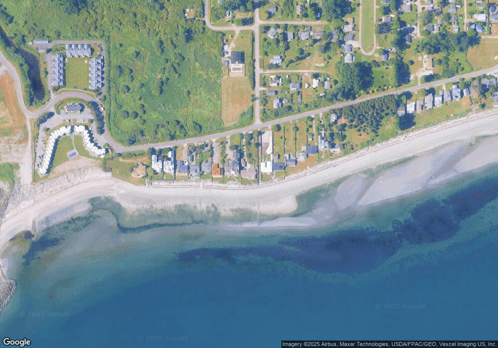
Map
Nearby Homes
- 1920 Patos Way
- 1881 Edwards Dr
- 1648 Harbor Seal Dr
- 661 Driftwood Ln
- 1630 Edwards Dr
- 1587 Harbor Seal Dr
- 1940 Apa Rd
- 2045 Apa Rd
- 721 Ocean View Ct
- 1477 Edwards Dr
- 2242 Seabright Loop
- 1774 Centennial Place
- 2202 Seabright Loop
- 58 Seabright Loop
- 1438 Gulf Rd
- 1542 Columbia Vista Dr
- 0 Deer Rd
- 168 Tyee Dr
- 1379 Gulf Rd
- 1361 Peltier Dr
- 1793 Edwards Dr
- 1801 Edwards Dr
- 1815 Edwards Dr
- 1783 Edwards Dr
- 1777 Edwards Dr
- 1821 Edwards Dr
- 736 Largaud Dr
- 1825 Edwards Dr
- 1775 Edwards Dr
- 1831 Edwards Dr
- 1769 Edwards Dr
- 1917 Matia Way
- 1767 Edwards Dr
- 1835 Edwards Dr
- 2 Edwards Dr
- 1765 Edwards Dr
- 1785 Meadow Ave
- 1933 Matia Way
- 1755 Edwards Dr
- 17 Matia Way
Your Personal Tour Guide
Ask me questions while you tour the home.