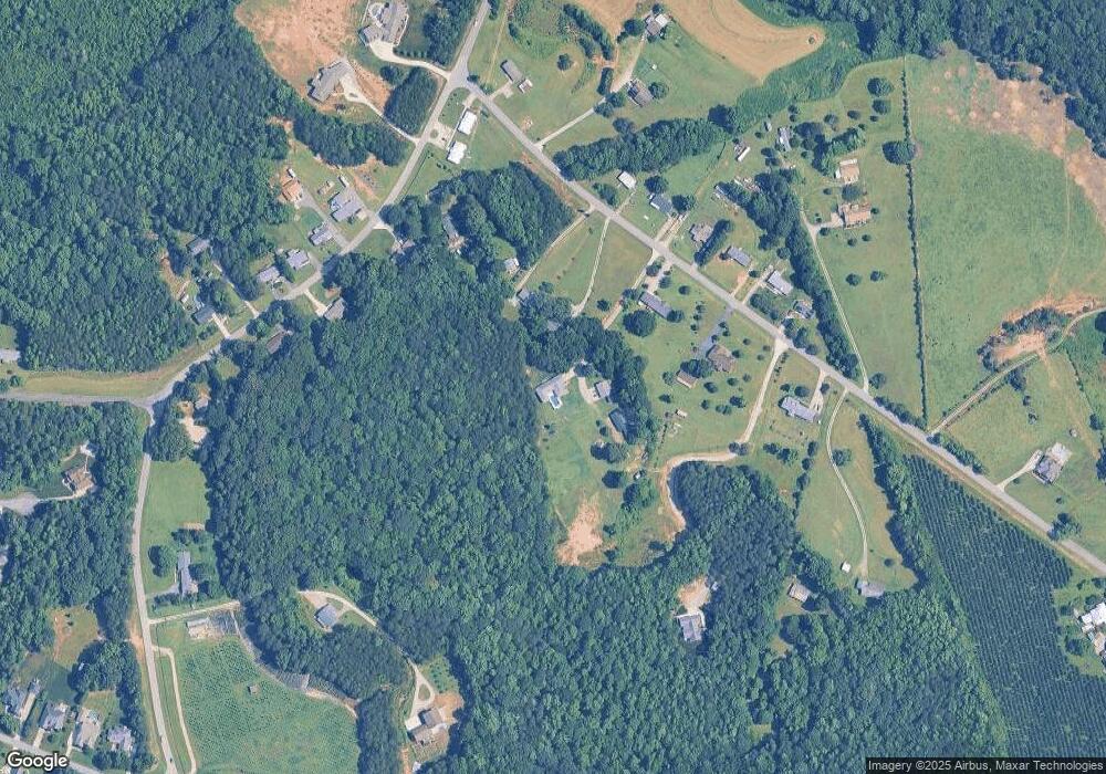
1795 N Ingleside Farm Rd Iron Station, NC 28080
Estimated Value: $665,000 - $940,956
4
Beds
3
Baths
2,497
Sq Ft
$326/Sq Ft
Est. Value
About This Home
This home is located at 1795 N Ingleside Farm Rd, Iron Station, NC 28080 and is currently estimated at $814,989, approximately $326 per square foot. 1795 N Ingleside Farm Rd is a home with nearby schools including St. James Elementary School, East Lincoln Middle School, and East Lincoln High School.
Ownership History
Date
Name
Owned For
Owner Type
Purchase Details
Closed on
Mar 5, 2020
Sold by
Long Brent A and Long Lynn R
Bought by
Robinson Bradley M and Robinson Betsey L
Current Estimated Value
Home Financials for this Owner
Home Financials are based on the most recent Mortgage that was taken out on this home.
Original Mortgage
$382,500
Outstanding Balance
$339,398
Interest Rate
3.6%
Mortgage Type
New Conventional
Estimated Equity
$475,591
Create a Home Valuation Report for This Property
The Home Valuation Report is an in-depth analysis detailing your home's value as well as a comparison with similar homes in the area
Home Values in the Area
Average Home Value in this Area
Purchase History
| Date | Buyer | Sale Price | Title Company |
|---|---|---|---|
| Robinson Bradley M | $425,000 | None Available |
Source: Public Records
Mortgage History
| Date | Status | Borrower | Loan Amount |
|---|---|---|---|
| Open | Robinson Bradley M | $382,500 |
Source: Public Records
Tax History Compared to Growth
Tax History
| Year | Tax Paid | Tax Assessment Tax Assessment Total Assessment is a certain percentage of the fair market value that is determined by local assessors to be the total taxable value of land and additions on the property. | Land | Improvement |
|---|---|---|---|---|
| 2025 | $4,520 | $723,939 | $102,758 | $621,181 |
| 2024 | $4,485 | $723,939 | $102,758 | $621,181 |
| 2023 | $4,480 | $723,939 | $102,758 | $621,181 |
| 2022 | $2,711 | $350,321 | $57,514 | $292,807 |
| 2021 | $2,686 | $350,321 | $57,514 | $292,807 |
| 2020 | $2,501 | $350,321 | $57,514 | $292,807 |
| 2019 | $2,501 | $350,321 | $57,514 | $292,807 |
| 2018 | $2,377 | $313,451 | $55,569 | $257,882 |
| 2017 | $2,276 | $313,451 | $55,569 | $257,882 |
| 2016 | $2,268 | $313,451 | $55,569 | $257,882 |
| 2015 | $2,523 | $313,451 | $55,569 | $257,882 |
| 2014 | $596 | $84,246 | $55,563 | $28,683 |
Source: Public Records
Map
Nearby Homes
- 1500 Beth Haven Church Rd
- 1A Hidden Forest Dr Unit 1A
- 5853 Hidden Forest Dr
- 2572 Norton Ave
- Lot 6 Jerry Ross Ln
- 1207 Misty Creek Dr
- 2110 Beth Haven Church Rd
- 1038 Misty Creek Dr Unit 38
- 2273 Pine Valley Dr
- 1791 Withers Dr
- 7246 Windy Ridge Dr
- 524 N Ingleside Farm Rd
- 2340 Fay Jones Rd
- 1775 Mount Carmel Cir
- 1763 Mount Carmel Cir
- 1567 Withers Dr
- 4 Beth Haven Church Rd
- 3 Beth Haven Church Rd
- 767 Pinnacle Dr
- 788 Pinnacle Dr
- 1799 N Ingleside Farm Rd
- 1823 N Ingleside Farm Rd
- 1789 N Ingleside Farm Rd
- 1806 N Ingleside Farm Rd
- 1820 N Ingleside Farm Rd
- 1842 N Ingleside Farm Rd
- 1743 N Ingleside Farm Rd
- 1512 Beth Haven Church Rd
- 1739 N Ingleside Farm Rd
- 1478 Beth Haven Church Rd
- 6884 N Ingleside Farm Rd Unit 1
- 1733 N Ingleside Farm Rd
- 1460 Beth Haven Church Rd
- 1534 Beth Haven Church Rd Unit 36
- 1766 N Ingleside Farm Rd
- 1536 Beth Haven Church Rd
- 1501 Beth Haven Church Rd
- 1770 N Ingleside Farm Rd
- 1778 N Ingleside Farm Rd
- 1788 N Ingleside Farm Rd
