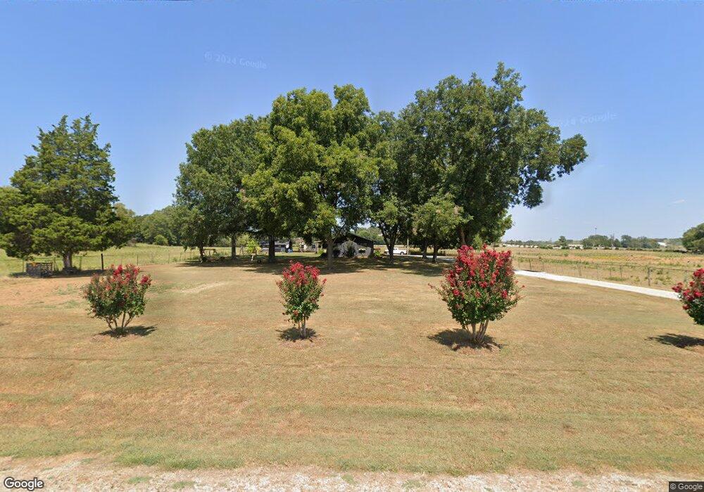
1795 Old Memphis Pike Tuscumbia, AL 35674
Estimated Value: $200,000 - $268,000
4
Beds
--
Bath
1,900
Sq Ft
$129/Sq Ft
Est. Value
About This Home
This home is located at 1795 Old Memphis Pike, Tuscumbia, AL 35674 and is currently estimated at $245,067, approximately $128 per square foot. 1795 Old Memphis Pike is a home located in Colbert County with nearby schools including Cherokee Elementary School and Cherokee High School.
Ownership History
Date
Name
Owned For
Owner Type
Purchase Details
Closed on
Jan 29, 2025
Sold by
Thompson Christopher and Thompson Mary A
Bought by
Grissom Ashley G L
Current Estimated Value
Home Financials for this Owner
Home Financials are based on the most recent Mortgage that was taken out on this home.
Original Mortgage
$245,471
Outstanding Balance
$241,166
Interest Rate
0.69%
Mortgage Type
Construction
Estimated Equity
$3,901
Purchase Details
Closed on
Jul 7, 2006
Sold by
Smith Roy G
Bought by
Thompson Christopher and Thompson Mary A
Purchase Details
Closed on
May 25, 2006
Sold by
Grissom Charles S
Bought by
Smith Roy G and Smith Julia A
Create a Home Valuation Report for This Property
The Home Valuation Report is an in-depth analysis detailing your home's value as well as a comparison with similar homes in the area
Home Values in the Area
Average Home Value in this Area
Purchase History
| Date | Buyer | Sale Price | Title Company |
|---|---|---|---|
| Grissom Ashley G L | $250,000 | Attorney Only | |
| Thompson Christopher | -- | -- | |
| Smith Roy G | -- | -- |
Source: Public Records
Mortgage History
| Date | Status | Borrower | Loan Amount |
|---|---|---|---|
| Open | Grissom Ashley G L | $245,471 |
Source: Public Records
Tax History Compared to Growth
Tax History
| Year | Tax Paid | Tax Assessment Tax Assessment Total Assessment is a certain percentage of the fair market value that is determined by local assessors to be the total taxable value of land and additions on the property. | Land | Improvement |
|---|---|---|---|---|
| 2024 | $751 | $15,700 | $1,400 | $14,300 |
| 2023 | $478 | $14,940 | $0 | $0 |
| 2022 | $416 | $13,620 | $0 | $0 |
| 2021 | $372 | $12,160 | $0 | $0 |
| 2020 | $338 | $11,020 | $0 | $0 |
| 2019 | $335 | $11,020 | $0 | $0 |
| 2018 | $335 | $10,940 | $0 | $0 |
| 2017 | $352 | $11,500 | $0 | $0 |
| 2016 | $351 | $11,460 | $0 | $0 |
| 2013 | -- | $0 | $0 | $0 |
Source: Public Records
Map
Nearby Homes
- 00 Pilgrim Rd
- Tract D Old Memphis Pike
- Tract E Old Memphis Pike
- Tract C Old Memphis Pike
- Tract B Old Memphis Pike
- Tract F Old Memphis Pike
- 24 Pride Estates Rd
- 25 Pride Estates Rd
- 23 Pride Estates Rd
- 21 Pride Estates Rd
- 22 Pride Estates Rd
- 710 Carter Dr
- 20838 Highway 72
- 1096 Rain Tree Dr
- 1100 Rain Tree Dr
- 1705 Keller Quarry Rd
- 000 Church Loop
- 425 Cedar Hill Ln
- 589 Hester Porter Rd
- 92 Mountain Unit Road
- 1795 Old Memphis Pike
- 145 Florida Ln
- 1665 Old Memphis Pike
- 1680 Old Memphis Pike
- 2221 Old Lee Rd
- 1620 Old Memphis Pike
- 1595 Old Memphis Pike
- 1858 Old Memphis Pike
- 1576 Old Memphis Pike
- 13100 Highway 247
- 13100 Alabama 247
- 1601 Alabama 247
- 0 Alabama 247
- 000 Alabama 247
- 01 Alabama 247
- 2850 Smallwood Mountain Rd
- 1520 Old Memphis Pike
- 2936 Smallwood Mountain Rd
- 18260 Highway 72
- 1964 Old Memphis Pike