1795 Sandy Point Rd Nanjemoy, MD 20662
Nanjemoy NeighborhoodEstimated Value: $351,000 - $394,900
--
Bed
2
Baths
1,344
Sq Ft
$278/Sq Ft
Est. Value
About This Home
This home is located at 1795 Sandy Point Rd, Nanjemoy, MD 20662 and is currently estimated at $373,633, approximately $278 per square foot. 1795 Sandy Point Rd is a home located in Charles County with nearby schools including Mt. Hope/Nanjemoy Elementary School, General Smallwood Middle School, and Henry E. Lackey High School.
Ownership History
Date
Name
Owned For
Owner Type
Purchase Details
Closed on
May 6, 1999
Sold by
Stack David B and Stack Tammy
Bought by
Bachman Michael W and Bachman Darlene P
Current Estimated Value
Purchase Details
Closed on
Mar 29, 1985
Sold by
Lincoln Construction, Inc
Bought by
Stack David B and Stack Tammy
Home Financials for this Owner
Home Financials are based on the most recent Mortgage that was taken out on this home.
Original Mortgage
$57,085
Interest Rate
13.29%
Create a Home Valuation Report for This Property
The Home Valuation Report is an in-depth analysis detailing your home's value as well as a comparison with similar homes in the area
Home Values in the Area
Average Home Value in this Area
Purchase History
| Date | Buyer | Sale Price | Title Company |
|---|---|---|---|
| Bachman Michael W | $161,100 | -- | |
| Stack David B | $56,000 | -- |
Source: Public Records
Mortgage History
| Date | Status | Borrower | Loan Amount |
|---|---|---|---|
| Previous Owner | Stack David B | $57,085 |
Source: Public Records
Tax History Compared to Growth
Tax History
| Year | Tax Paid | Tax Assessment Tax Assessment Total Assessment is a certain percentage of the fair market value that is determined by local assessors to be the total taxable value of land and additions on the property. | Land | Improvement |
|---|---|---|---|---|
| 2025 | $8,645 | $314,900 | $106,000 | $208,900 |
| 2024 | $3,638 | $281,567 | $0 | $0 |
| 2023 | $3,547 | $248,233 | $0 | $0 |
| 2022 | $3,158 | $214,900 | $91,000 | $123,900 |
| 2021 | $3,113 | $214,900 | $91,000 | $123,900 |
| 2020 | $3,113 | $214,900 | $91,000 | $123,900 |
| 2019 | $3,209 | $223,400 | $91,000 | $132,400 |
| 2018 | $3,098 | $218,000 | $0 | $0 |
| 2017 | $3,019 | $212,600 | $0 | $0 |
| 2016 | -- | $207,200 | $0 | $0 |
| 2015 | $2,786 | $207,200 | $0 | $0 |
| 2014 | $2,786 | $207,200 | $0 | $0 |
Source: Public Records
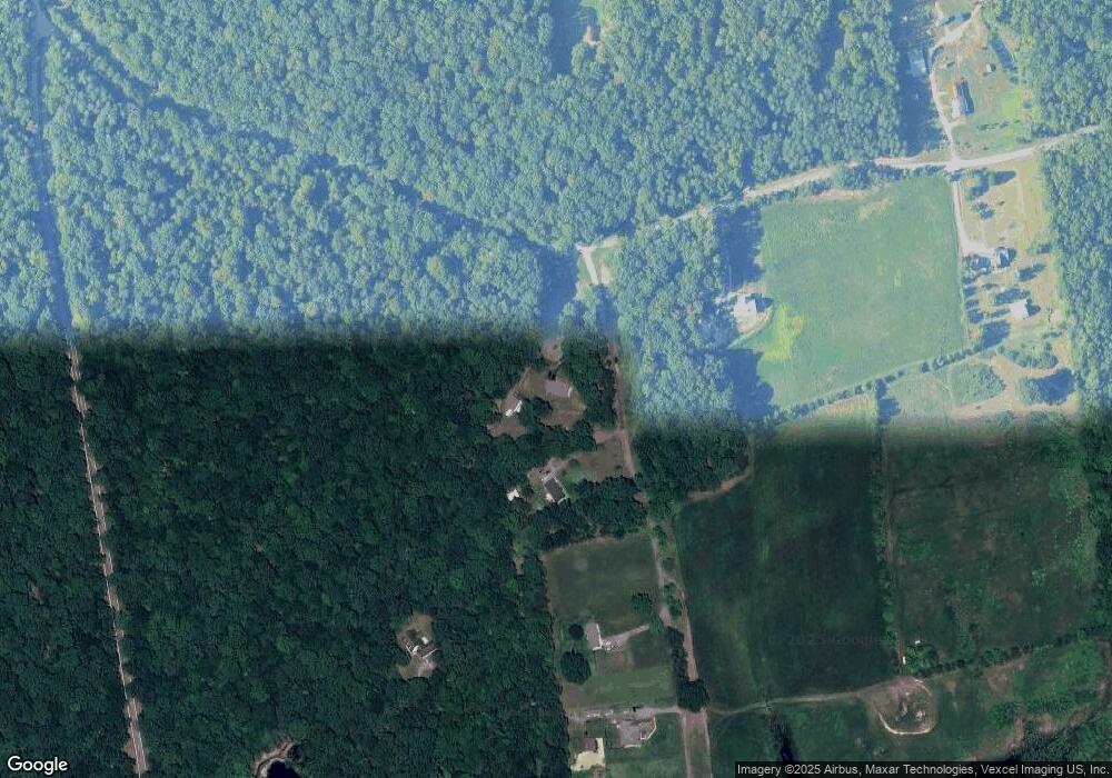
Map
Nearby Homes
- 0 Sandy Point Rd Unit MDCH2033054
- 7985 W Bend Place
- 8240 Greenleek Hill Rd
- 8055 Shannon Woods Place
- 8905 Jacksontown Rd
- 4865 Port Tobacco Rd
- 1645 Green Manor Dr
- 4615 Port Tobacco Rd
- 2844 Deer Creek Ct
- 0 Poseytown Rd Unit MDCH2039212
- 3190 Poseytown Rd
- 0 S Side Route 224 (Chicamuxen Rd) Unit MDCH2045120
- 9290 Beaverdam Rd
- 3190 Mill Place
- 3370 Poseytown Rd
- 223 3rd Ave
- 214 2nd Ave
- 4103 Port Tobacco Rd
- 7805 Hamilton Heights Place
- 3990 Port Tobacco Rd
- 8315 Eagle Pond Place
- 8365 Eagle Pond Place
- 8450 Riverside Rd
- 8375 Eagle Pond Place
- 1800 Sandy Point Rd
- 1905 Sandy Point Rd
- 1900 Sandy Point Rd
- 8420 Riverside Rd
- 2 Eagle Pond Place
- 8385 Eagle Pond Place
- 8440 Riverside Rd
- 8470 Riverside Rd
- 1845 Sandy Point Rd
- 8500 Riverside Rd
- 1975 Sandy Point Rd
- 8530 Riverside Rd
- 2000 Sandy Point Rd
- 1830 Sandy Point Rd
- 1830 Sandy Point Rd
- 1830 Sandy Point Rd