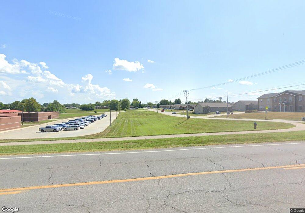
1795 W Independence St Jackson, MO 63755
Estimated Value: $346,000 - $395,000
3
Beds
2
Baths
1,650
Sq Ft
$223/Sq Ft
Est. Value
About This Home
This home is located at 1795 W Independence St, Jackson, MO 63755 and is currently estimated at $368,738, approximately $223 per square foot. 1795 W Independence St is a home located in Cape Girardeau County with nearby schools including Russell Hawkins Junior High School, Jackson Senior High School, and St. Paul Lutheran School.
Ownership History
Date
Name
Owned For
Owner Type
Purchase Details
Closed on
Sep 13, 2013
Sold by
Lincoln Kenneth and Lincoln Laura
Bought by
Smith Timothy E and Smith Shari L
Current Estimated Value
Home Financials for this Owner
Home Financials are based on the most recent Mortgage that was taken out on this home.
Original Mortgage
$168,600
Outstanding Balance
$126,113
Interest Rate
4.46%
Mortgage Type
New Conventional
Estimated Equity
$242,625
Create a Home Valuation Report for This Property
The Home Valuation Report is an in-depth analysis detailing your home's value as well as a comparison with similar homes in the area
Home Values in the Area
Average Home Value in this Area
Purchase History
| Date | Buyer | Sale Price | Title Company |
|---|---|---|---|
| Smith Timothy E | -- | -- |
Source: Public Records
Mortgage History
| Date | Status | Borrower | Loan Amount |
|---|---|---|---|
| Open | Smith Timothy E | $168,600 |
Source: Public Records
Tax History Compared to Growth
Tax History
| Year | Tax Paid | Tax Assessment Tax Assessment Total Assessment is a certain percentage of the fair market value that is determined by local assessors to be the total taxable value of land and additions on the property. | Land | Improvement |
|---|---|---|---|---|
| 2025 | $2,525 | $49,380 | $7,970 | $41,410 |
| 2024 | $24 | $47,030 | $7,590 | $39,440 |
| 2023 | $2,402 | $47,030 | $7,590 | $39,440 |
| 2022 | $2,212 | $43,340 | $6,990 | $36,350 |
| 2021 | $2,212 | $43,340 | $6,990 | $36,350 |
| 2020 | $2,217 | $43,340 | $6,990 | $36,350 |
| 2019 | $2,213 | $43,340 | $0 | $0 |
| 2018 | $2,209 | $43,340 | $0 | $0 |
| 2017 | $2,215 | $43,340 | $0 | $0 |
| 2016 | $2,185 | $42,920 | $0 | $0 |
| 2015 | $2,186 | $42,920 | $0 | $0 |
| 2014 | $2,197 | $42,920 | $0 | $0 |
Source: Public Records
Map
Nearby Homes
- 161 Oak Creek Dr
- 2283 Alpine Dr
- 977 Aspen Dr
- 387 Northview Estates Dr
- 864 Strawberry Ln
- 2264 Oak St
- 2418 Jonathan Dr
- 1310 Normandy Ln
- State Highway 72 Lot 3
- State Highway 72 Lot 2
- State Highway 72 Lot 1
- 778 W Deerwood Dr
- 3088 Prairie View Trail
- 2496 Prairie View Trail
- 1633 Challenger Ct
- 2864 Clear Spring Place
- 1552 Enterprise Ct
- 1559 Enterprise Ct
- 1718 Columbia Dr
- 400 E Deerwood Dr Unit 400 & 402
- 1785 W Independence St
- 1755 W Independence St
- 160 Spring Hill Rd
- 140 Spring Hill Rd
- 1735 W Independence St
- 172 Spring Hill Rd
- 2138 State Highway D
- 1715 W Independence St
- 2138 W Independence St
- 116 Spring Hill Rd
- 151 Spring Hill Rd
- 184 Spring Hill Rd
- 70 Oak Creek Dr
- 193 Spring Hill Rd
- 111 Spring Hill Rd
- 16 Oak Creek Estates
- 60 Oak Creek Estates
- 1685 Oak Creek Dr
- 208 Spring Hill Rd
- 211 Spring Hill Rd
