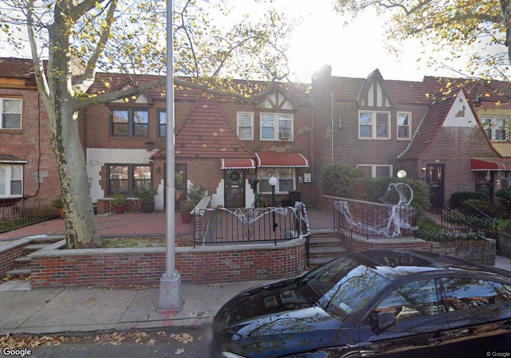
17956 Selover Rd Jamaica, NY 11434
Saint Albans NeighborhoodEstimated Value: $549,000 - $747,000
--
Bed
--
Bath
1,600
Sq Ft
$417/Sq Ft
Est. Value
About This Home
This home is located at 17956 Selover Rd, Jamaica, NY 11434 and is currently estimated at $667,681, approximately $417 per square foot. 17956 Selover Rd is a home located in Queens County with nearby schools including The Jermaine L. Green STEM Institute of Queens, Catherine & Count Basie Middle School 72, and Riverton Street Charter School.
Ownership History
Date
Name
Owned For
Owner Type
Purchase Details
Closed on
Oct 8, 2008
Sold by
Jardine Raoul
Bought by
Anderson Yvonne and Radjpaul Christopher
Current Estimated Value
Home Financials for this Owner
Home Financials are based on the most recent Mortgage that was taken out on this home.
Original Mortgage
$347,130
Outstanding Balance
$224,382
Interest Rate
5.94%
Mortgage Type
Purchase Money Mortgage
Estimated Equity
$443,299
Create a Home Valuation Report for This Property
The Home Valuation Report is an in-depth analysis detailing your home's value as well as a comparison with similar homes in the area
Home Values in the Area
Average Home Value in this Area
Purchase History
| Date | Buyer | Sale Price | Title Company |
|---|---|---|---|
| Anderson Yvonne | $380,000 | -- | |
| Anderson Yvonne | $380,000 | -- |
Source: Public Records
Mortgage History
| Date | Status | Borrower | Loan Amount |
|---|---|---|---|
| Open | Anderson Yvonne | $347,130 | |
| Closed | Anderson Yvonne | $347,130 |
Source: Public Records
Tax History Compared to Growth
Tax History
| Year | Tax Paid | Tax Assessment Tax Assessment Total Assessment is a certain percentage of the fair market value that is determined by local assessors to be the total taxable value of land and additions on the property. | Land | Improvement |
|---|---|---|---|---|
| 2025 | $5,721 | $28,927 | $8,126 | $20,801 |
| 2024 | $5,721 | $28,483 | $8,793 | $19,690 |
| 2023 | $5,397 | $26,873 | $8,338 | $18,535 |
| 2022 | $5,101 | $33,060 | $11,040 | $22,020 |
| 2021 | $5,073 | $32,040 | $11,040 | $21,000 |
| 2020 | $5,103 | $29,400 | $11,040 | $18,360 |
| 2019 | $4,965 | $25,200 | $11,040 | $14,160 |
| 2018 | $4,565 | $22,394 | $10,843 | $11,551 |
| 2017 | $4,340 | $21,292 | $10,617 | $10,675 |
| 2016 | $4,016 | $21,292 | $10,617 | $10,675 |
| 2015 | $2,423 | $20,088 | $10,986 | $9,102 |
| 2014 | $2,423 | $19,780 | $10,454 | $9,326 |
Source: Public Records
Map
Nearby Homes
- 17955 Anderson Rd
- 179-50 Anderson Rd
- 179-47 Zoller Rd
- 17918 Selover Rd
- 178-10 Leslie Rd
- 17915 Eveleth Rd
- 17911 Eveleth Rd
- 12811 Harry Douglass Way
- 179-01 120th Ave
- 178-20 Selover Rd
- 17720 Leslie Rd
- 178-26 Zoller Rd
- 17836 Eveleth Rd
- 11984 178th Place
- 122-22 Nellis St
- 17710 Troutville Rd
- 17715 Troutville Rd
- 119-72 178th St
- 12244 Nellis St
- 176-27 Sunbury Rd
- 17958 Selover Rd
- 17954 Selover Rd
- 17960 Selover Rd
- 17952 Selover Rd
- 17962 Selover Rd
- 17950 Selover Rd
- 17964 Selover Rd
- 17948 Selover Rd
- 17955 Anderson Rd
- 17946 Selover Rd Unit PH1E
- 17966 Selover Rd
- 17957 Anderson Rd
- 17953 Anderson Rd
- 179-55 Anderson Rd
- 17810 Selover Rd
- 17959 Anderson Rd
- 17951 Anderson Rd
- 179-51 Anderson Rd
- 179-51 Anderson Rd
- 179-51 Anderson Rd