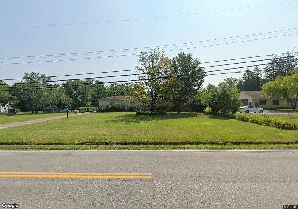
17959 Howe Rd Strongsville, OH 44136
Estimated Value: $377,000 - $417,702
4
Beds
2
Baths
2,008
Sq Ft
$199/Sq Ft
Est. Value
About This Home
This home is located at 17959 Howe Rd, Strongsville, OH 44136 and is currently estimated at $400,176, approximately $199 per square foot. 17959 Howe Rd is a home located in Cuyahoga County with nearby schools including Strongsville High School.
Ownership History
Date
Name
Owned For
Owner Type
Purchase Details
Closed on
Apr 22, 2024
Sold by
Church Geraldine A and Rusinko Christine M
Bought by
River Park Investments Inc
Current Estimated Value
Purchase Details
Closed on
Sep 1, 2021
Bought by
Haxton Mariann C
Purchase Details
Closed on
Feb 1, 2017
Sold by
Haxton Orren L and Haxton Mariann C
Bought by
Haxton Mariann C
Purchase Details
Closed on
Jan 13, 2005
Sold by
Haxton Mariann C and Haxton Orren L
Bought by
Haxton Orren L and Haxton Mariann C
Purchase Details
Closed on
Oct 18, 1976
Sold by
Rusinko George A and M C
Bought by
Rusinko Mariann C
Purchase Details
Closed on
Jan 1, 1975
Bought by
Rusinko George A and M C
Create a Home Valuation Report for This Property
The Home Valuation Report is an in-depth analysis detailing your home's value as well as a comparison with similar homes in the area
Home Values in the Area
Average Home Value in this Area
Purchase History
| Date | Buyer | Sale Price | Title Company |
|---|---|---|---|
| River Park Investments Inc | $400,000 | Newman Title | |
| Haxton Mariann C | -- | -- | |
| Haxton Mariann C | -- | None Available | |
| Haxton Orren L | -- | -- | |
| Rusinko Mariann C | -- | -- | |
| Rusinko George A | -- | -- |
Source: Public Records
Tax History Compared to Growth
Tax History
| Year | Tax Paid | Tax Assessment Tax Assessment Total Assessment is a certain percentage of the fair market value that is determined by local assessors to be the total taxable value of land and additions on the property. | Land | Improvement |
|---|---|---|---|---|
| 2024 | $4,951 | $115,255 | $23,135 | $92,120 |
| 2023 | $4,588 | $82,360 | $17,470 | $64,890 |
| 2022 | $4,581 | $82,360 | $17,470 | $64,890 |
| 2021 | $4,545 | $82,360 | $17,470 | $64,890 |
| 2020 | $4,101 | $67,520 | $14,320 | $53,200 |
| 2019 | $3,981 | $192,900 | $40,900 | $152,000 |
| 2018 | $3,614 | $67,520 | $14,320 | $53,200 |
| 2017 | $3,680 | $64,160 | $12,950 | $51,210 |
| 2016 | $3,650 | $64,160 | $12,950 | $51,210 |
| 2015 | $3,702 | $64,160 | $12,950 | $51,210 |
| 2014 | $3,702 | $64,160 | $12,950 | $51,210 |
Source: Public Records
Map
Nearby Homes
- 17130 Golden Star Dr
- 18229 Howe Rd
- 17159 Turkey Meadow Ln
- 16650 Lanier Ave
- 14558 Drake Rd
- 16711 Beech Cir
- 18987 Laurell Cir
- 14985 Camden Cir
- 14132 Walking Stick Way
- 17682 Drake Rd
- 19694 Benbow Rd
- 16969 Antler Ln
- 15772 Boston Rd
- 15604-REAR Boston Rd
- 19740 Benbow Rd
- 15188 Trails Landing
- 14292 Trenton Ave
- 17745 Brick Mill Run
- 19813 Cross Trail S
- 18294 Drake Rd
- 18005 Howe Rd
- 17831 Howe Rd
- 18051 Howe Rd
- 17906 Howe Rd
- 17974 Howe Rd
- 17872 Howe Rd
- 17823 Howe Rd
- 18097 Howe Rd
- 17838 Howe Rd
- 18042 Howe Rd
- 17785 Howe Rd
- 17804 Howe Rd
- 17129 Golden Star Dr
- 18076 Howe Rd
- 17780 Howe Rd
- 18139 Howe Rd
- 17741 Howe Rd
- 17138 Golden Star Dr
- 17857 Blazing Star Dr
- 17135 Golden Star Dr