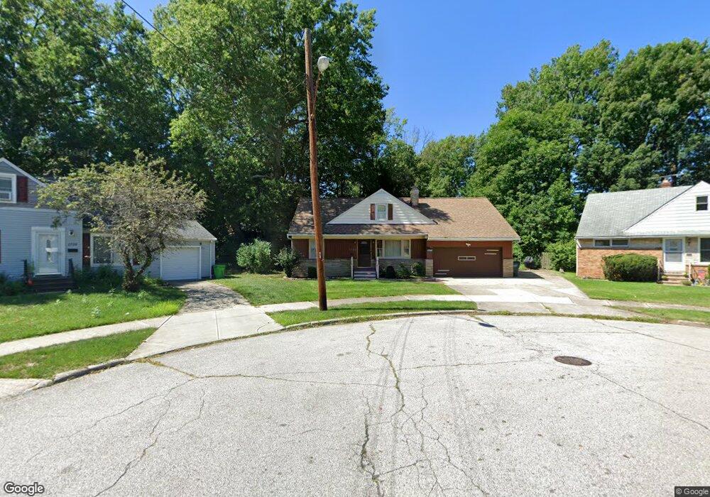
1796 Cedar Ct Euclid, OH 44117
Estimated Value: $145,000 - $200,671
5
Beds
2
Baths
1,753
Sq Ft
$101/Sq Ft
Est. Value
About This Home
This home is located at 1796 Cedar Ct, Euclid, OH 44117 and is currently estimated at $176,418, approximately $100 per square foot. 1796 Cedar Ct is a home located in Cuyahoga County with nearby schools including Bluestone Elementary School, Euclid Middle School, and Euclid High School.
Ownership History
Date
Name
Owned For
Owner Type
Purchase Details
Closed on
Jun 1, 1992
Sold by
Dottore Margaret G
Bought by
Woodford Alvin
Current Estimated Value
Purchase Details
Closed on
Feb 11, 1985
Sold by
Dottore Jos F and Dottore Margt
Bought by
Dottore Margaret G
Purchase Details
Closed on
Jan 1, 1975
Bought by
Dottore Jos F and Dottore Margt
Create a Home Valuation Report for This Property
The Home Valuation Report is an in-depth analysis detailing your home's value as well as a comparison with similar homes in the area
Home Values in the Area
Average Home Value in this Area
Purchase History
| Date | Buyer | Sale Price | Title Company |
|---|---|---|---|
| Woodford Alvin | $92,000 | -- | |
| Dottore Margaret G | -- | -- | |
| Dottore Jos F | -- | -- |
Source: Public Records
Tax History Compared to Growth
Tax History
| Year | Tax Paid | Tax Assessment Tax Assessment Total Assessment is a certain percentage of the fair market value that is determined by local assessors to be the total taxable value of land and additions on the property. | Land | Improvement |
|---|---|---|---|---|
| 2024 | $4,052 | $59,325 | $10,920 | $48,405 |
| 2023 | $3,845 | $44,980 | $9,660 | $35,320 |
| 2022 | $3,756 | $44,980 | $9,660 | $35,320 |
| 2021 | $4,190 | $44,980 | $9,660 | $35,320 |
| 2020 | $3,971 | $38,780 | $8,330 | $30,450 |
| 2019 | $3,574 | $110,800 | $23,800 | $87,000 |
| 2018 | $3,547 | $38,780 | $8,330 | $30,450 |
| 2017 | $3,784 | $33,950 | $6,020 | $27,930 |
| 2016 | $3,792 | $33,950 | $6,020 | $27,930 |
| 2015 | $3,463 | $33,950 | $6,020 | $27,930 |
| 2014 | $3,463 | $33,950 | $6,020 | $27,930 |
Source: Public Records
Map
Nearby Homes
- 19871 Upper Valley Dr
- 19201 Shawnee Rd
- 19201 Genesee Rd
- 1721 Grand Blvd
- 2150 Glenridge Rd
- 1860 Glenridge Rd
- 1477 E 195th St
- 24 Washington Square
- 1777 Catalpa Rd
- 1707 Catalpa Rd
- 1524 E 204th St
- 2441 Malden Rd
- 2337 Greenvale Rd
- 209 Greenbriar Ct
- 1563 Clermont Rd
- 237 Greenbriar Ct Unit F237
- 1617 Catalpa Rd
- 18120 Olympia Rd
- 1517 Larchmont Rd
- 1769 Burgess Rd
- 1794 Cedar Ct
- 1798 Cedar Ct
- 1831 Sagamore Dr
- 1835 Sagamore Dr
- 1772 Park Ct
- 1821 Sagamore Dr
- 1774 Park Ct
- 1841 Sagamore Dr
- 1792 Pinehurst Dr
- 1800 Cedar Ct
- 1817 Sagamore Dr
- 1788 Pontiac Dr
- 1784 Pontiac Dr
- 1861 Sagamore Dr
- 1802 Cedar Ct
- 1790 Pinehurst Dr
- 1770 Park Ct
- 1811 Sagamore Dr
- 1778 Pontiac Dr
- 1804 Pinehurst Dr