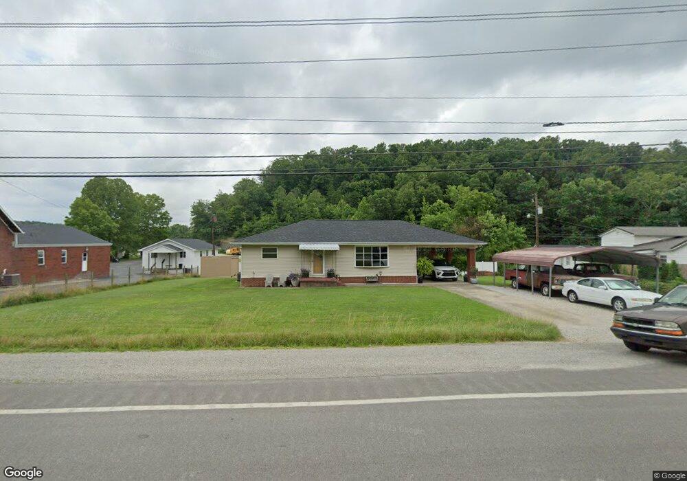
1796 E Us Highway 60 Grayson, KY 41143
Estimated Value: $127,789 - $170,000
Studio
--
Bath
1,120
Sq Ft
$135/Sq Ft
Est. Value
About This Home
This home is located at 1796 E Us Highway 60, Grayson, KY 41143 and is currently estimated at $150,697, approximately $134 per square foot. 1796 E Us Highway 60 is a home located in Carter County with nearby schools including Prichard Elementary School, East Carter Middle School, and East Carter County High School.
Ownership History
Date
Name
Owned For
Owner Type
Purchase Details
Closed on
Dec 18, 2012
Sold by
The Estate Of Edith Carroll and Carroll Phillip
Bought by
Skiles Steven D and Skills Pamela R
Current Estimated Value
Home Financials for this Owner
Home Financials are based on the most recent Mortgage that was taken out on this home.
Original Mortgage
$68,877
Outstanding Balance
$47,743
Interest Rate
3.38%
Mortgage Type
FHA
Estimated Equity
$102,954
Create a Home Valuation Report for This Property
The Home Valuation Report is an in-depth analysis detailing your home's value as well as a comparison with similar homes in the area
Home Values in the Area
Average Home Value in this Area
Purchase History
| Date | Buyer | Sale Price | Title Company |
|---|---|---|---|
| Skiles Steven D | $67,500 | None Available |
Source: Public Records
Mortgage History
| Date | Status | Borrower | Loan Amount |
|---|---|---|---|
| Open | Skiles Steven D | $68,877 |
Source: Public Records
Tax History
| Year | Tax Paid | Tax Assessment Tax Assessment Total Assessment is a certain percentage of the fair market value that is determined by local assessors to be the total taxable value of land and additions on the property. | Land | Improvement |
|---|---|---|---|---|
| 2024 | $217 | $71,600 | $0 | $0 |
| 2023 | $218 | $71,600 | $0 | $0 |
| 2022 | $234 | $67,500 | $0 | $0 |
| 2021 | $238 | $67,500 | $0 | $0 |
| 2020 | $249 | $67,500 | $10,000 | $57,500 |
| 2019 | $249 | $67,500 | $10,000 | $57,500 |
| 2018 | $264 | $67,500 | $10,000 | $57,500 |
| 2017 | $252 | $67,500 | $10,000 | $57,500 |
| 2016 | $257 | $67,500 | $10,000 | $57,500 |
| 2015 | $251 | $67,500 | $10,000 | $57,500 |
| 2014 | $258 | $67,500 | $10,000 | $57,500 |
| 2011 | $242 | $30,000 | $5,000 | $25,000 |
Source: Public Records
Map
Nearby Homes
- 102 Wildcat Dr
- 0 Upper Stinson Rd
- 76 Cutter Dr
- 2659 E US Highway 60
- Lot #2 Greenbrier Plantations Phase 1
- Lot #10 Greenbrier Plantations Phase 1
- Lot #7 Greenbrier Plantations Phase 1
- Lot #15 Greenbrier Plantations Phase 1
- Lot #13 Greenbrier Plantations Phase 1
- Lot #11 Greenbrier Plantations Phase 1
- 3.95 acres Plantation Dr
- 1180 E Maple St
- 817 Cherrywood Ln
- 100 Driftwood Ln
- 84 Woodcrest Rd
- 218 Fox Run Rd
- 710 Elm St
- Campbell Lane Empress Dr
- 711 Circle Dr
- 0 Sorghum Dr
- 1816 E Us Highway 60
- 1865 E Midland Trail
- 1896 E Midland Trail
- 1875 E Us Highway 60
- 1893 E Midland Trail
- 1893 E Midland Trail Unit J10
- 1820 E Midland Trail
- 1891 E Midland Trail
- 1897 E Midland Trail
- 1899 E Midland Trail
- 105 Wildcat Dr
- 1837 E Us Highway 60
- 1920 E Us Highway 60
- 111 Wildcat Dr
- 108 Wildcat Dr
- 121 Wildcat Dr
- 1770 E Midland Trail
- 0 Wildcat Dr
- 120 Wildcat Dr
- 127 Wildcat Dr
Your Personal Tour Guide
Ask me questions while you tour the home.