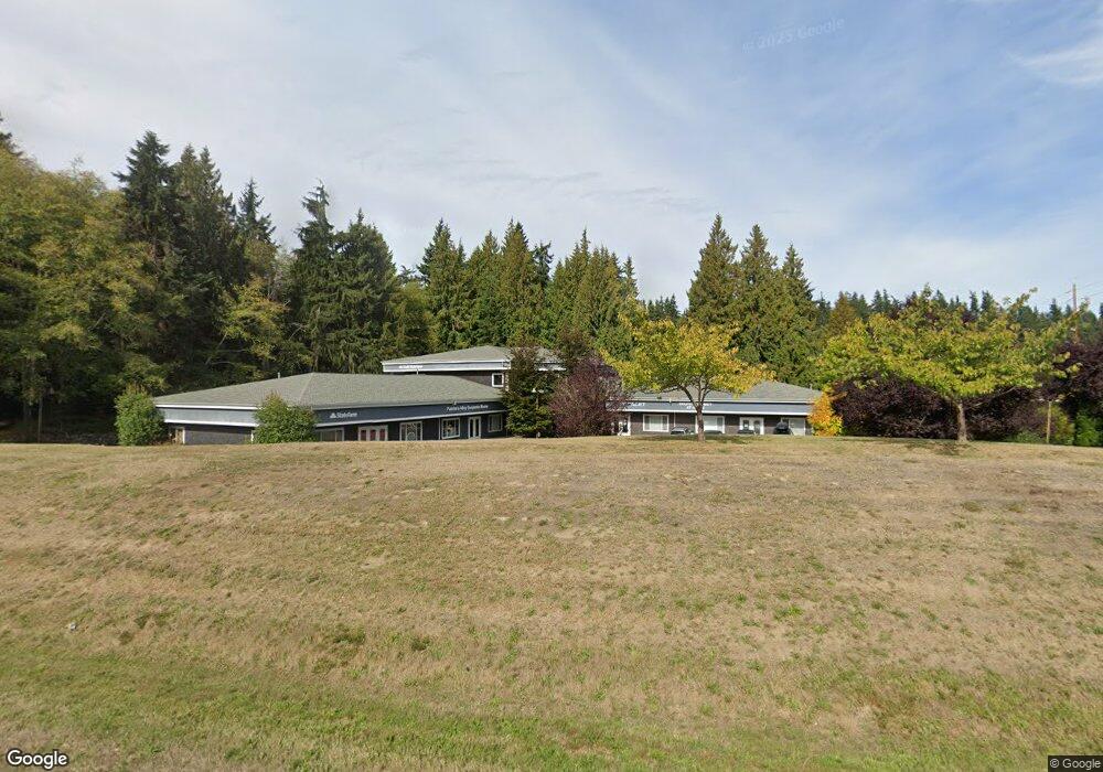
1796 Main St Freeland, WA 98249
Estimated Value: $3,644,706
--
Bed
--
Bath
15,040
Sq Ft
$242/Sq Ft
Est. Value
About This Home
This home is located at 1796 Main St, Freeland, WA 98249 and is currently estimated at $3,644,706, approximately $242 per square foot. 1796 Main St is a home located in Island County with nearby schools including South Whidbey Elementary School, South Whidbey Middle School, and South Whidbey High School.
Ownership History
Date
Name
Owned For
Owner Type
Purchase Details
Closed on
Jul 30, 2007
Sold by
Myres Steven
Bought by
Copper Hill Square 109 Llc
Current Estimated Value
Home Financials for this Owner
Home Financials are based on the most recent Mortgage that was taken out on this home.
Original Mortgage
$1,080,000
Outstanding Balance
$683,802
Interest Rate
6.66%
Mortgage Type
Commercial
Estimated Equity
$2,960,904
Create a Home Valuation Report for This Property
The Home Valuation Report is an in-depth analysis detailing your home's value as well as a comparison with similar homes in the area
Home Values in the Area
Average Home Value in this Area
Purchase History
| Date | Buyer | Sale Price | Title Company |
|---|---|---|---|
| Copper Hill Square 109 Llc | $1,780,000 | None Available |
Source: Public Records
Mortgage History
| Date | Status | Borrower | Loan Amount |
|---|---|---|---|
| Open | Copper Hill Square 109 Llc | $1,080,000 |
Source: Public Records
Tax History Compared to Growth
Tax History
| Year | Tax Paid | Tax Assessment Tax Assessment Total Assessment is a certain percentage of the fair market value that is determined by local assessors to be the total taxable value of land and additions on the property. | Land | Improvement |
|---|---|---|---|---|
| 2024 | $9,827 | $1,412,785 | $363,290 | $1,049,495 |
| 2023 | $9,827 | $1,466,260 | $363,290 | $1,102,970 |
| 2022 | $10,218 | $1,260,860 | $363,290 | $897,570 |
| 2021 | $10,027 | $1,257,742 | $363,290 | $894,452 |
| 2020 | $9,916 | $1,257,352 | $363,290 | $894,062 |
| 2019 | $9,966 | $1,276,728 | $363,290 | $913,438 |
| 2018 | $10,010 | $1,276,773 | $363,290 | $913,483 |
| 2017 | $9,150 | $1,188,073 | $274,502 | $913,571 |
| 2016 | $9,617 | $1,188,250 | $274,502 | $913,748 |
| 2015 | -- | $1,212,019 | $274,502 | $937,517 |
| 2013 | -- | $1,099,951 | $110,783 | $989,168 |
Source: Public Records
Map
Nearby Homes
- 0 XXX Osprey Rd Unit 15-2
- 0 XXX Osprey Rd (15-1 & 15-2)
- 0 XXX Osprey Rd Unit 15-1
- 1738 Alliance Ave Unit 14
- 1762 Compass Blvd Unit 17
- 1776 Compass Blvd Unit 24
- 5591 S Harbor Ave
- 5430 Pleasant View Ln
- 1672 Dorsey Dr
- 1649 Stewart Rd
- 1940 Cattail Ln
- 0 Lynne Dr
- 1578 Stewart Rd
- 1774 Twin Oaks Ln
- 18796 S Freeland Ave
- 0 0-xx E Harbor Rd
- 0 Panorama Dr
- 1857 Watkins Rd
- 5633 Morningtown Place
- 5453 Harborside Ln
- 1796 Main St Unit 201
- 1794 E Main St
- 5604 Osprey Rd
- 0 XXX Osprey Rd
- 0 Osprey Rd
- 5601 Osprey Rd
- 5612 Osprey Rd
- 1736 Alliance Ave
- 1800 Scott Rd
- 5605 Osprey Rd
- 0 xxx Newman Rd
- 0 Parcel 1 Newman Rd
- 0 1&2 Newman Rd
- 0 Parcel 2 Newman Rd
- 5620 Osprey Rd
- 1787 Dusty Ln
- 1804 Scott Rd
- 1804 Scott Rd Unit 101
- 17431 State Route 525
- 1735 Alliance Ave