1796 Myrick Rd Thomasville, GA 31792
Estimated Value: $51,000 - $246,852
--
Bed
1
Bath
1,576
Sq Ft
$103/Sq Ft
Est. Value
About This Home
This home is located at 1796 Myrick Rd, Thomasville, GA 31792 and is currently estimated at $162,213, approximately $102 per square foot. 1796 Myrick Rd is a home located in Thomas County with nearby schools including Hand in Hand Primary School, Cross Creek Elementary School, and Garrison-Pilcher Elementary School.
Ownership History
Date
Name
Owned For
Owner Type
Purchase Details
Closed on
May 9, 2005
Sold by
Dupree Bobby
Bought by
Dupree Patty A
Current Estimated Value
Purchase Details
Closed on
Jul 12, 2004
Sold by
Dupree Patty A
Bought by
Dupree Judith M
Purchase Details
Closed on
Jan 15, 2003
Sold by
Dupree Bobby
Bought by
Dupree Patty A
Purchase Details
Closed on
Mar 16, 2001
Sold by
Dupree Gale J
Bought by
Dupree Bobby
Purchase Details
Closed on
Jun 25, 1999
Sold by
Dupree Judith M
Bought by
Dupree Gale J
Purchase Details
Closed on
Jan 21, 1990
Bought by
Dupree Judith M
Create a Home Valuation Report for This Property
The Home Valuation Report is an in-depth analysis detailing your home's value as well as a comparison with similar homes in the area
Home Values in the Area
Average Home Value in this Area
Purchase History
| Date | Buyer | Sale Price | Title Company |
|---|---|---|---|
| Dupree Patty A | -- | -- | |
| Dupree Judith M | -- | -- | |
| Dupree Patty A | -- | -- | |
| Dupree Bobby | $38,600 | -- | |
| Dupree Gale J | $40,000 | -- | |
| Dupree Judith M | $40,000 | -- |
Source: Public Records
Tax History Compared to Growth
Tax History
| Year | Tax Paid | Tax Assessment Tax Assessment Total Assessment is a certain percentage of the fair market value that is determined by local assessors to be the total taxable value of land and additions on the property. | Land | Improvement |
|---|---|---|---|---|
| 2024 | $1,566 | $82,986 | $21,348 | $61,638 |
| 2023 | $1,385 | $75,482 | $17,078 | $58,404 |
| 2022 | $1,389 | $69,192 | $17,078 | $52,114 |
| 2021 | $1,315 | $60,418 | $14,850 | $45,568 |
| 2020 | $1,318 | $59,245 | $14,850 | $44,395 |
| 2019 | $1,333 | $59,245 | $14,850 | $44,395 |
| 2018 | $1,338 | $58,344 | $14,850 | $43,494 |
| 2017 | $1,367 | $58,615 | $14,850 | $43,765 |
| 2016 | $1,354 | $57,740 | $14,850 | $42,890 |
| 2015 | $0 | $57,159 | $14,850 | $42,309 |
| 2014 | -- | $56,244 | $14,850 | $41,394 |
| 2013 | -- | $0 | $0 | $0 |
Source: Public Records
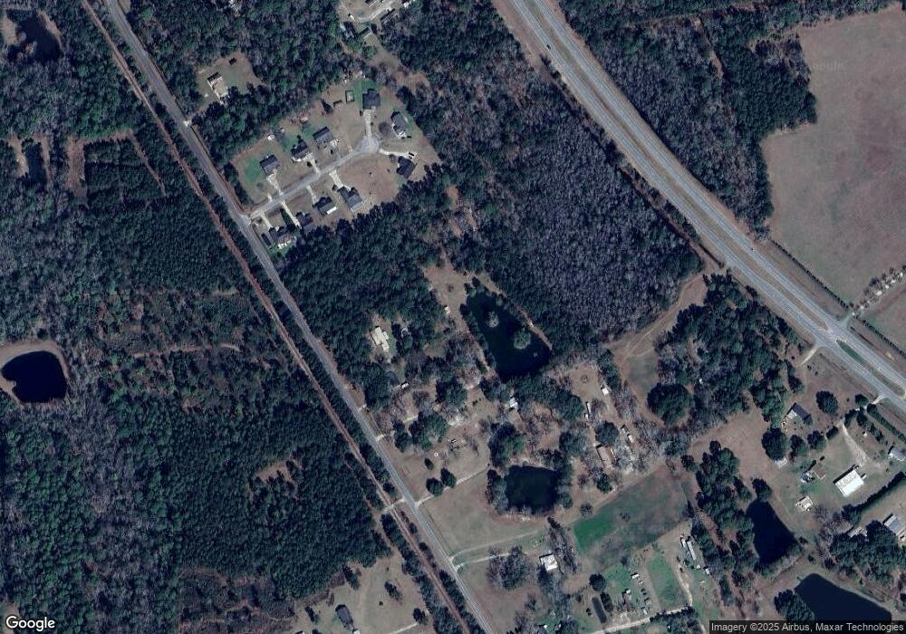
Map
Nearby Homes
- 23481 U S 19
- 210 Egg and Butter Rd N
- 210 Egg & Butter Rd
- 27286 U S Highway 19
- 1.27ACR S Egg & Butter Rd
- 105 Mossy Creek Way
- 107 Mossy Creek Way
- 800 N Westshore Dr
- 800 Westshore Dr
- 693 W Shore Dr
- 475 W Shore Dr
- 365 W Shore Dr
- 00 Parcel # 053a313 West Shore Dr Lot 21
- 396 Carrington Cir
- 108 Willow Ridge Cir
- 111 Willow Ridge Cir
- 100 Carrington Cir
- 5596 Georgia 202
- 154 Willow Ridge Cir
- 106 Spiral Rd