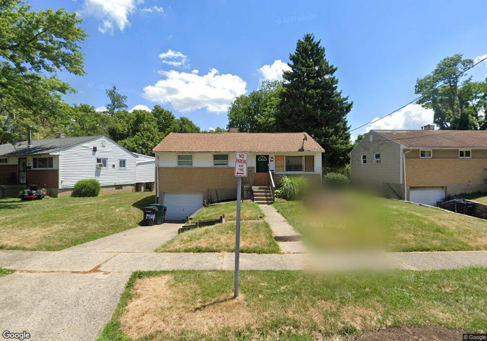
1796 Patrick Dr Cincinnati, OH 45204
East Price Hill NeighborhoodEstimated Value: $76,000 - $135,000
3
Beds
1
Bath
925
Sq Ft
$112/Sq Ft
Est. Value
About This Home
This home is located at 1796 Patrick Dr, Cincinnati, OH 45204 and is currently estimated at $103,390, approximately $111 per square foot. 1796 Patrick Dr is a home located in Hamilton County with nearby schools including Robert A. Taft Information Technology High School, Gilbert A. Dater High School, and Western Hills High School.
Ownership History
Date
Name
Owned For
Owner Type
Purchase Details
Closed on
Jul 22, 2008
Sold by
Freeman Mike and Freeman Victoria
Bought by
Mvf Properites Ii Llc
Current Estimated Value
Purchase Details
Closed on
Apr 20, 2007
Sold by
Federal Home Loan Mortgage Corporation
Bought by
Freeman Mike
Purchase Details
Closed on
Mar 7, 2007
Sold by
Roberts Darren T
Bought by
Federal Home Loan Mortgage Corporation
Create a Home Valuation Report for This Property
The Home Valuation Report is an in-depth analysis detailing your home's value as well as a comparison with similar homes in the area
Home Values in the Area
Average Home Value in this Area
Purchase History
| Date | Buyer | Sale Price | Title Company |
|---|---|---|---|
| Mvf Properites Ii Llc | -- | Attorney | |
| Freeman Mike | -- | None Available | |
| Federal Home Loan Mortgage Corporation | $40,000 | Attorney |
Source: Public Records
Tax History
| Year | Tax Paid | Tax Assessment Tax Assessment Total Assessment is a certain percentage of the fair market value that is determined by local assessors to be the total taxable value of land and additions on the property. | Land | Improvement |
|---|---|---|---|---|
| 2025 | $1,477 | $23,034 | $3,388 | $19,646 |
| 2024 | $1,475 | $23,034 | $3,388 | $19,646 |
| 2023 | $1,477 | $23,034 | $3,388 | $19,646 |
| 2022 | $891 | $12,391 | $2,972 | $9,419 |
| 2021 | $870 | $12,391 | $2,972 | $9,419 |
| 2020 | $873 | $12,391 | $2,972 | $9,419 |
| 2019 | $871 | $11,263 | $2,702 | $8,561 |
| 2018 | $872 | $11,263 | $2,702 | $8,561 |
| 2017 | $839 | $11,263 | $2,702 | $8,561 |
| 2016 | $724 | $9,450 | $3,031 | $6,419 |
| 2015 | $648 | $9,450 | $3,031 | $6,419 |
| 2014 | $651 | $9,450 | $3,031 | $6,419 |
| 2013 | $1,275 | $18,348 | $3,126 | $15,222 |
Source: Public Records
Map
Nearby Homes
- 1741 Grand Ave
- 2245 Quebec Rd
- 1781 Westwood Ave
- 1769 Westwood Ave
- 1724 Esmonde St
- 2832 Claypole Ave
- 2182 Grand Ave
- 1114 Wing St
- 2173 Clara St
- 2169 Clara St
- 2165 Clara St
- 2281 Northside Ave
- 2227 Grand Ave
- 0 Clifford St Unit 1225342
- 1699 Westwood Ave
- 3320 Glenway Ave
- 2829 Glenway Ave
- 3321 Glenway Ave
- 1723 Montrose St
- 1712 Queen City Ave
- 1800 Patrick Dr
- 1792 Patrick Dr
- 1788 Patrick Dr
- 1808 Patrick Dr
- 1782 Patrick Dr
- 1797 Patrick Dr
- 1801 Patrick Dr
- 1807 Patrick Dr
- 1789 Patrick Dr
- 1778 Patrick Dr
- 1815 Patrick Dr
- 1783 Patrick Dr
- 1779 Patrick Dr
- 1774 Patrick Dr
- 1935 Utah Ave
- 1775 Patrick Dr
- 1923 Utah Ave
- 1770 Patrick Dr
- 1830 Patrick Dr
- 1771 Patrick Dr
Your Personal Tour Guide
Ask me questions while you tour the home.