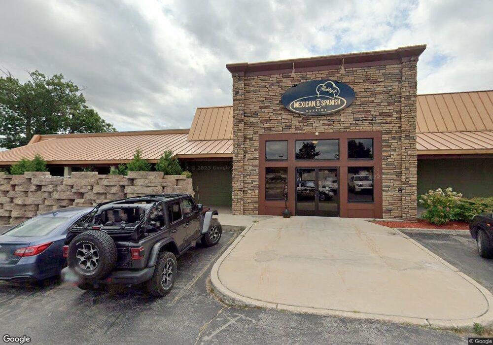
1796 S Garfield Ave Traverse City, MI 49686
--
Bed
--
Bath
9,000
Sq Ft
0.5
Acres
About This Home
This home is located at 1796 S Garfield Ave, Traverse City, MI 49686. 1796 S Garfield Ave is a home located in Grand Traverse County with nearby schools including Traverse Heights Elementary School, East Middle School, and Central High School.
Ownership History
Date
Name
Owned For
Owner Type
Purchase Details
Closed on
May 19, 2016
Purchase Details
Closed on
May 3, 2012
Purchase Details
Closed on
Dec 1, 2010
Purchase Details
Closed on
Dec 10, 2003
Purchase Details
Closed on
Jun 9, 2003
Purchase Details
Closed on
May 24, 1999
Purchase Details
Closed on
Feb 15, 1998
Purchase Details
Closed on
Dec 31, 1992
Purchase Details
Closed on
Apr 30, 1992
Purchase Details
Closed on
Dec 8, 1987
Purchase Details
Closed on
Nov 10, 1987
Purchase Details
Closed on
Oct 15, 1985
Purchase Details
Closed on
Jun 15, 1983
Purchase Details
Closed on
Jul 17, 1981
Create a Home Valuation Report for This Property
The Home Valuation Report is an in-depth analysis detailing your home's value as well as a comparison with similar homes in the area
Home Values in the Area
Average Home Value in this Area
Purchase History
| Date | Buyer | Sale Price | Title Company |
|---|---|---|---|
| -- | $672,000 | -- | |
| -- | -- | -- | |
| -- | $300,000 | -- | |
| -- | $729,100 | -- | |
| -- | -- | -- | |
| -- | $800,000 | -- | |
| -- | -- | -- | |
| -- | $600,000 | -- | |
| -- | $800,000 | -- | |
| -- | -- | -- | |
| -- | -- | -- | |
| -- | -- | -- | |
| -- | $25,000 | -- | |
| -- | -- | -- | |
| -- | -- | -- |
Source: Public Records
Tax History Compared to Growth
Tax History
| Year | Tax Paid | Tax Assessment Tax Assessment Total Assessment is a certain percentage of the fair market value that is determined by local assessors to be the total taxable value of land and additions on the property. | Land | Improvement |
|---|---|---|---|---|
| 2025 | $28,193 | $912,900 | $0 | $0 |
| 2024 | $22,716 | $876,500 | $0 | $0 |
| 2023 | $21,685 | $682,200 | $0 | $0 |
| 2022 | $25,671 | $702,100 | $0 | $0 |
| 2021 | $24,831 | $682,200 | $0 | $0 |
| 2020 | $24,565 | $795,500 | $0 | $0 |
| 2019 | $24,414 | $654,200 | $0 | $0 |
| 2018 | $0 | $611,300 | $0 | $0 |
| 2017 | -- | $632,800 | $0 | $0 |
| 2016 | -- | $660,700 | $0 | $0 |
| 2014 | -- | $554,300 | $0 | $0 |
| 2012 | -- | $320,200 | $0 | $0 |
Source: Public Records
Map
Nearby Homes
- 880 W South Airport Rd
- 1160 Terrace Bluff Dr
- 1077 Oak Terrace Dr
- 859 Carson St
- 1741 Linden Ave Unit 15
- 883 Crestwood Ln
- 1230 Plainview Ave
- 2779 Frank St
- 828 Baldwin St
- 1587 David Place
- 2751 Ray Blvd
- 948 Carver St
- 1133 Carver St
- 1663 David Place
- 1502 Simsbury St Unit 10
- 1502 Simsbury St Unit 4
- 1548 Simsbury St Unit 8
- 1548 Simsbury St Unit 9
- 1548 Simsbury St Unit 10
- 1554 Simsbury St Unit 2
- 1796 S Garfield Ave
- 1781 S Garfield Ave
- 000 W South Airport Rd
- 1779 S Garfield Ave Unit Suite C
- 976 W South Airport Rd
- 976 W South Airport Rd Unit 972, 974, 976
- 1775 S Garfield Ave
- 972 W South Airport Rd
- 1769 S Garfield Ave
- 966 W S Airport Rd
- 966 W S Airport Rd Unit B
- 966 W South Airport Rd
- 1114 W South Airport Rd
- 1114 S Airport Rd
- 1043 W South Airport Rd
- 1073 W South Airport Rd
- 1077 W South Airport Rd
- 1783 S Garfield Ave
- 1081 W South Airport Rd
- 956 W South Airport Rd