1797 Caldwell Rd Bucyrus, OH 44820
Estimated Value: $333,000 - $461,000
3
Beds
3
Baths
1,672
Sq Ft
$239/Sq Ft
Est. Value
About This Home
This home is located at 1797 Caldwell Rd, Bucyrus, OH 44820 and is currently estimated at $399,333, approximately $238 per square foot. 1797 Caldwell Rd is a home located in Crawford County with nearby schools including Wynford Elementary School and Wynford High School.
Ownership History
Date
Name
Owned For
Owner Type
Purchase Details
Closed on
Mar 4, 2022
Sold by
Cotsamire Neil L
Bought by
Ltm Land Llc
Current Estimated Value
Home Financials for this Owner
Home Financials are based on the most recent Mortgage that was taken out on this home.
Original Mortgage
$935,935
Interest Rate
3.69%
Mortgage Type
New Conventional
Purchase Details
Closed on
Mar 3, 2022
Sold by
Hoeffel Paul E
Bought by
Cotsamire Neil
Home Financials for this Owner
Home Financials are based on the most recent Mortgage that was taken out on this home.
Original Mortgage
$935,935
Interest Rate
3.69%
Mortgage Type
New Conventional
Purchase Details
Closed on
Nov 25, 2016
Sold by
Snyder Patricia A
Bought by
Snyder Patricia A and Cotsamire Neil L
Create a Home Valuation Report for This Property
The Home Valuation Report is an in-depth analysis detailing your home's value as well as a comparison with similar homes in the area
Home Values in the Area
Average Home Value in this Area
Purchase History
| Date | Buyer | Sale Price | Title Company |
|---|---|---|---|
| Ltm Land Llc | $1,101,100 | Acs Title | |
| Ltm Land Llc | -- | Acs Title | |
| Ltm Land Llc | -- | Acs Title | |
| Cotsamire Neil | -- | Acs Title | |
| Cotsamire Neil | -- | Acs Title | |
| Snyder Patricia A | -- | Attorney |
Source: Public Records
Mortgage History
| Date | Status | Borrower | Loan Amount |
|---|---|---|---|
| Previous Owner | Ltm Land Llc | $935,935 |
Source: Public Records
Tax History Compared to Growth
Tax History
| Year | Tax Paid | Tax Assessment Tax Assessment Total Assessment is a certain percentage of the fair market value that is determined by local assessors to be the total taxable value of land and additions on the property. | Land | Improvement |
|---|---|---|---|---|
| 2024 | $4,331 | $121,010 | $8,200 | $112,810 |
| 2023 | $4,378 | $82,530 | $4,630 | $77,900 |
| 2022 | $6,753 | $157,880 | $79,980 | $77,900 |
| 2021 | $6,827 | $148,620 | $79,980 | $68,640 |
| 2020 | $7,373 | $172,930 | $104,290 | $68,640 |
| 2019 | $8,794 | $197,330 | $128,690 | $68,640 |
| 2018 | $9,066 | $197,340 | $128,700 | $68,640 |
| 2017 | $12,253 | $268,050 | $185,120 | $82,930 |
| 2016 | $10,264 | $268,050 | $185,120 | $82,930 |
| 2015 | $10,490 | $268,050 | $185,120 | $82,930 |
| 2014 | $7,330 | $179,310 | $96,380 | $82,930 |
| 2013 | $7,330 | $179,310 | $96,380 | $82,930 |
Source: Public Records
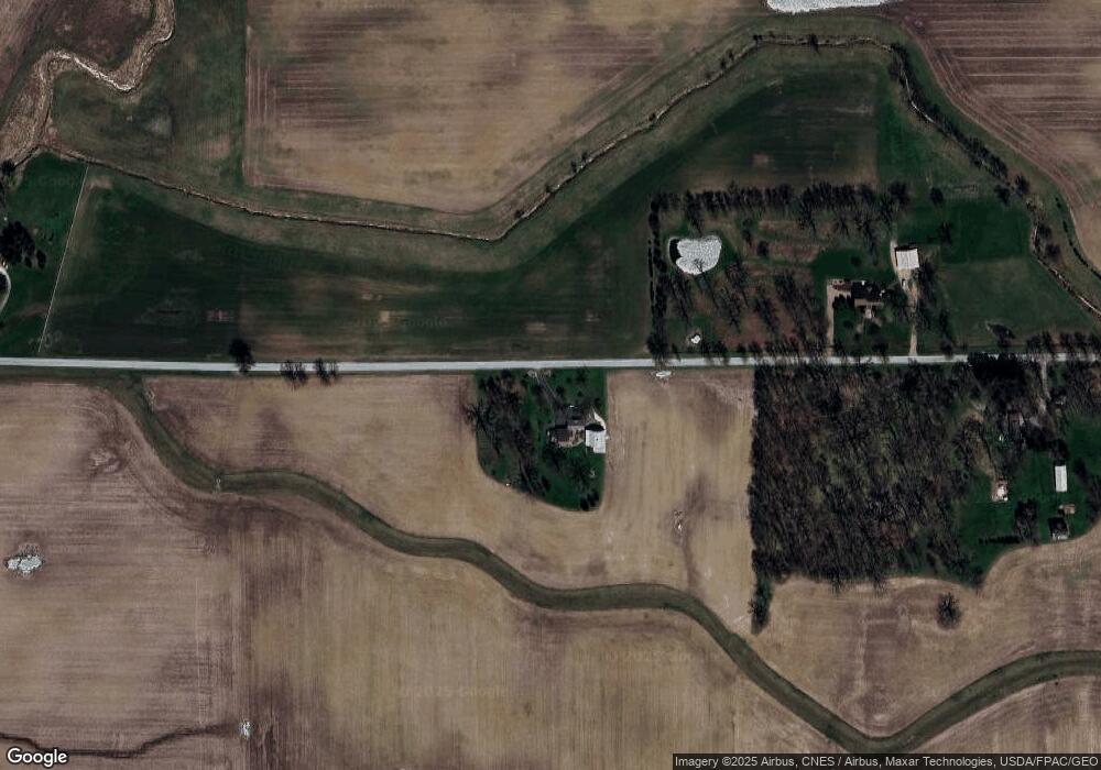
Map
Nearby Homes
- Morral Kirkpatrick Rd
- 1123 Hillcrest Dr
- 1773 Marion-Melmore Rd
- 2440 Wyandot Rd
- 1315 Lynne Ave
- 1112 Hillcrest Dr
- 1149 Farmview Dr
- 5198 Columbus-Sandusky Rd N
- 0 Lynne Ave
- 275 Brentwood St
- 1145 Lynne Ave
- 130 Brentwood St
- 452 Pleasant Ln
- 2273 Kerstetter Rd
- 182 Williams St
- 1211 S Sandusky Ave
- 1021 S Sandusky Ave
- 900 S Spring St
- 318 Charlotte St
- 325 W Liberty St
- 1903 Caldwell Rd
- 1860 Caldwell Rd
- 1232 State Route 4
- 1212 State Route 4
- 1409 State Route 4
- 1076 State Route 4
- 2113 Caldwell Rd
- 2113 Caldwell Rd
- 1030 State Route 4
- 2125 Caldwell Rd
- 1492 Denzer Rd
- 2137 Caldwell Rd
- 1523 State Route 4
- 1539 State Route 4
- 1710 Malcolm Rd
- 1757 Malcolm Rd
- 1523 Street
- 1761 Malcolm Rd