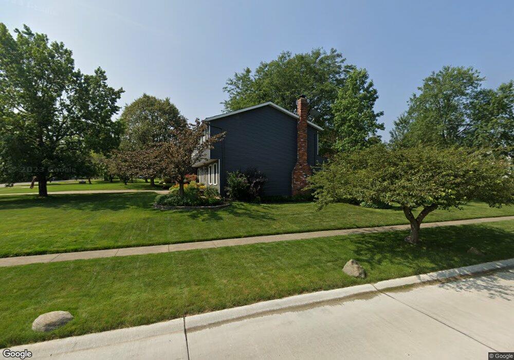
17974 Howe Rd Strongsville, OH 44136
Estimated Value: $342,322 - $418,000
4
Beds
3
Baths
2,274
Sq Ft
$170/Sq Ft
Est. Value
About This Home
This home is located at 17974 Howe Rd, Strongsville, OH 44136 and is currently estimated at $386,581, approximately $170 per square foot. 17974 Howe Rd is a home located in Cuyahoga County with nearby schools including Strongsville High School.
Ownership History
Date
Name
Owned For
Owner Type
Purchase Details
Closed on
Nov 27, 2017
Sold by
Hronek Daniel F and Hronek Karen M
Bought by
Hronek Family Trust
Current Estimated Value
Purchase Details
Closed on
Apr 26, 1989
Sold by
Flick John E and Flick Susan M
Bought by
Goodman Craig C
Purchase Details
Closed on
Jul 25, 1986
Sold by
Chudy Thomas C
Bought by
Flick John E and Flick Susan M
Purchase Details
Closed on
Oct 21, 1977
Bought by
Chudy Thomas C
Purchase Details
Closed on
May 16, 1977
Bought by
Sunshine Bldg Co
Purchase Details
Closed on
Jan 1, 1977
Bought by
North East Land Co
Create a Home Valuation Report for This Property
The Home Valuation Report is an in-depth analysis detailing your home's value as well as a comparison with similar homes in the area
Home Values in the Area
Average Home Value in this Area
Purchase History
| Date | Buyer | Sale Price | Title Company |
|---|---|---|---|
| Hronek Family Trust | -- | None Available | |
| Goodman Craig C | $124,500 | -- | |
| Flick John E | $108,900 | -- | |
| Chudy Thomas C | $71,700 | -- | |
| Sunshine Bldg Co | $18,500 | -- | |
| North East Land Co | -- | -- |
Source: Public Records
Tax History Compared to Growth
Tax History
| Year | Tax Paid | Tax Assessment Tax Assessment Total Assessment is a certain percentage of the fair market value that is determined by local assessors to be the total taxable value of land and additions on the property. | Land | Improvement |
|---|---|---|---|---|
| 2024 | $4,479 | $95,410 | $19,320 | $76,090 |
| 2023 | $5,144 | $82,150 | $23,310 | $58,840 |
| 2022 | $5,106 | $82,150 | $23,310 | $58,840 |
| 2021 | $5,066 | $82,150 | $23,310 | $58,840 |
| 2020 | $4,694 | $67,340 | $19,110 | $48,230 |
| 2019 | $4,557 | $192,400 | $54,600 | $137,800 |
| 2018 | $4,135 | $67,340 | $19,110 | $48,230 |
| 2017 | $4,041 | $60,910 | $15,160 | $45,750 |
| 2016 | $4,008 | $60,910 | $15,160 | $45,750 |
| 2015 | $4,064 | $60,910 | $15,160 | $45,750 |
| 2014 | $4,064 | $60,910 | $15,160 | $45,750 |
Source: Public Records
Map
Nearby Homes
- 17130 Golden Star Dr
- 18229 Howe Rd
- 17159 Turkey Meadow Ln
- 16711 Beech Cir
- 16650 Lanier Ave
- 14985 Camden Cir
- 18987 Laurell Cir
- 16450 Howe Rd
- 14558 Drake Rd
- 19694 Benbow Rd
- 17682 Drake Rd
- 15772 Boston Rd
- 16969 Antler Ln
- 15604-REAR Boston Rd
- 19740 Benbow Rd
- 14132 Walking Stick Way
- 15188 Trails Landing
- 17745 Brick Mill Run
- 14292 Trenton Ave
- 19813 Cross Trail S
- 17129 Golden Star Dr
- 17906 Howe Rd
- 18042 Howe Rd
- 17135 Golden Star Dr
- 18076 Howe Rd
- 17872 Howe Rd
- 17138 Golden Star Dr
- 18005 Howe Rd
- 17959 Howe Rd
- 18051 Howe Rd
- 17141 Golden Star Dr
- 18082 Fern Canyon Dr
- 18101 Fern Canyon Dr
- 18110 Howe Rd
- 17838 Howe Rd
- 18097 Howe Rd
- 17857 Blazing Star Dr
- 18064 Fern Canyon Dr
- 17147 Golden Star Dr
- 18133 Fern Canyon Dr