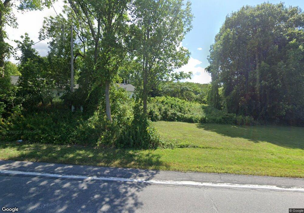
1798 Highway Route 20 Cobleskill, NY 12043
Estimated Value: $127,000 - $382,000
3
Beds
3
Baths
2,000
Sq Ft
$116/Sq Ft
Est. Value
About This Home
This home is located at 1798 Highway Route 20, Cobleskill, NY 12043 and is currently estimated at $232,222, approximately $116 per square foot. 1798 Highway Route 20 is a home located in Schoharie County with nearby schools including George D Ryder Elementary School, Cobleskill Richmondville High School, and Joseph B Radez Elementary School.
Ownership History
Date
Name
Owned For
Owner Type
Purchase Details
Closed on
Jul 27, 2009
Sold by
Trustee Hsbc Bank Usa For Ace Securities Corp
Bought by
Merton Holly
Current Estimated Value
Purchase Details
Closed on
May 16, 2008
Sold by
Dejesus Damaso Andujar
Bought by
Hsbc Bank Usa
Purchase Details
Closed on
Dec 22, 2005
Sold by
Elliott Wayne
Bought by
Dejesus Damaso Andujar
Purchase Details
Closed on
Feb 18, 2004
Sold by
Elliott Wayne
Bought by
Elliott Wayne
Purchase Details
Closed on
Aug 2, 1994
Sold by
Goodale Bernard
Bought by
Elliott Wayne A and Elliott Elizabeth A
Create a Home Valuation Report for This Property
The Home Valuation Report is an in-depth analysis detailing your home's value as well as a comparison with similar homes in the area
Home Values in the Area
Average Home Value in this Area
Purchase History
| Date | Buyer | Sale Price | Title Company |
|---|---|---|---|
| Merton Holly | $50,500 | Holly Merton | |
| Hsbc Bank Usa | $145,000 | Steven Baum | |
| Dejesus Damaso Andujar | $128,000 | Michael Esslie | |
| Elliott Wayne | -- | Richard Piedmont | |
| Elliott Wayne A | $80,500 | -- |
Source: Public Records
Tax History Compared to Growth
Tax History
| Year | Tax Paid | Tax Assessment Tax Assessment Total Assessment is a certain percentage of the fair market value that is determined by local assessors to be the total taxable value of land and additions on the property. | Land | Improvement |
|---|---|---|---|---|
| 2024 | $2,541 | $50,000 | $20,000 | $30,000 |
| 2023 | $2,523 | $50,000 | $20,000 | $30,000 |
| 2022 | $2,476 | $50,000 | $20,000 | $30,000 |
| 2021 | $2,449 | $50,000 | $20,000 | $30,000 |
| 2020 | $2,443 | $50,000 | $20,000 | $30,000 |
| 2019 | $2,322 | $50,000 | $20,000 | $30,000 |
| 2018 | $2,322 | $50,000 | $20,000 | $30,000 |
| 2017 | $2,167 | $50,000 | $20,000 | $30,000 |
| 2016 | $2,188 | $50,000 | $20,000 | $30,000 |
| 2015 | -- | $50,000 | $20,000 | $30,000 |
| 2014 | -- | $50,000 | $20,000 | $30,000 |
Source: Public Records
Map
Nearby Homes
- 144 Maple Bush Rd
- 103 Franklin Bellinger Rd
- 2090 U S 20
- 1149 Slate Hill Rd
- 5660 State Route 145
- 231 Little York Rd
- 00WP Sharon Hill Rd Unit LotWP000
- 00WP Sharon Hill Rd
- 5214 State Route 145
- 5214 New York 145
- 257 Lake Rd
- 2429 U S 20
- 1714 Latimer Hill Rd
- 202 Melick Rd
- 322 Hubb Shutts Rd
- 202 Melick Rd
- 6510 State Route 10
- 655 W Lykers Rd
- 917 E Lykers Rd
- 223 Quarry St
- 1798 Highway Route 20
- 1798 U S 20
- 1811 Highway Route 20
- 326 Scofield Rd
- 1831 Highway Route 20
- 1765 Highway Route 20
- 135 Bear Swamp Rd
- 1724 Highway Route 20
- 1878 U S 20
- 1878 Highway Route 20
- 1884 Highway Route 20
- 1884 Highway Rt 20
- 1889 Highway Route 20
- 837 Little York Rd
- 1701 Highway Route 20
- 257 Scofield Rd
- 1901 Highway Route 20
- 1759 Highway Route 20
- 1915 Highway Route 20
- 422 Brown Rd
