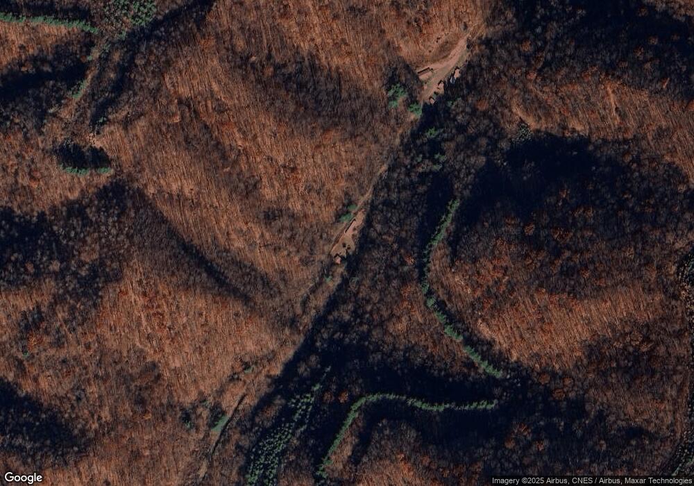
1798 Payne Branch Rd Vansant, VA 24656
Estimated Value: $164,000
3
Beds
1
Bath
1,516
Sq Ft
$108/Sq Ft
Est. Value
About This Home
This home is located at 1798 Payne Branch Rd, Vansant, VA 24656 and is currently estimated at $164,000, approximately $108 per square foot. 1798 Payne Branch Rd is a home with nearby schools including Jm Bevins Elementary School, Riverview Elementary/Middle School, and Grundy High School.
Ownership History
Date
Name
Owned For
Owner Type
Purchase Details
Closed on
Mar 6, 2024
Sold by
Charles Pamela
Bought by
Scarberry Christopher Douglas and Smith Delores Nmn
Current Estimated Value
Purchase Details
Closed on
Jul 28, 2009
Sold by
Blevins Media
Bought by
Hurley William E
Home Financials for this Owner
Home Financials are based on the most recent Mortgage that was taken out on this home.
Original Mortgage
$27,700
Interest Rate
5.47%
Mortgage Type
Credit Line Revolving
Create a Home Valuation Report for This Property
The Home Valuation Report is an in-depth analysis detailing your home's value as well as a comparison with similar homes in the area
Home Values in the Area
Average Home Value in this Area
Purchase History
| Date | Buyer | Sale Price | Title Company |
|---|---|---|---|
| Scarberry Christopher Douglas | $10,500 | None Listed On Document | |
| Hurley William E | $32,100 | None Available |
Source: Public Records
Mortgage History
| Date | Status | Borrower | Loan Amount |
|---|---|---|---|
| Previous Owner | Hurley William E | $27,700 |
Source: Public Records
Tax History Compared to Growth
Tax History
| Year | Tax Paid | Tax Assessment Tax Assessment Total Assessment is a certain percentage of the fair market value that is determined by local assessors to be the total taxable value of land and additions on the property. | Land | Improvement |
|---|---|---|---|---|
| 2025 | $35 | $9,000 | $4,500 | $4,500 |
| 2024 | $35 | $9,000 | $4,500 | $4,500 |
| 2023 | $35 | $9,000 | $4,500 | $4,500 |
| 2022 | $35 | $9,000 | $4,500 | $4,500 |
| 2021 | $35 | $9,000 | $4,500 | $4,500 |
| 2020 | $36 | $9,200 | $4,500 | $4,700 |
| 2019 | $36 | $9,200 | $4,500 | $4,700 |
| 2017 | $36 | $9,200 | $4,500 | $4,700 |
| 2016 | $36 | $9,200 | $4,500 | $4,700 |
| 2015 | -- | $18,900 | $7,900 | $11,000 |
Source: Public Records
Map
Nearby Homes
- 1056 Pheasant Run Rd
- 1287 Turnbull Rd
- 4913 Hurley Rd
- 1079 Highlawn Cir
- 2967 Elkins Branch Rd
- 2929 Slate Creek Rd
- 1068 Lesters Fork Rd
- 17433 Dismal River Rd
- 4137 Lesters Fork Rd
- 1725 Tech Rd
- Tbd Old Wolf Rd
- 1154 Fairview St
- 1087 Greenhouse Cir
- 1075 Gator Rd
- 4788 Guesses Fork Rd
- 0 Guesses Fork Rd
- 9725 Garden Creek Rd
- 1551 Watkins Branch
- 717
- TBD Riverside Dr
- 1822 Dry Tripe Rd
- 1915 Woosley Branch Rd
- 2037 Woosley Branch Rd
- 1273 Moonlight Rd
- 1025 Hoot Owl Rd
- 2019 Woosley Branch Rd
- 1255 Woosley Branch Rd
- 1086 Moonlight Rd
- 1128 Dry Tripe Rd
- 1182 Woosley Branch Rd
- 1080 Dry Tripe Rd
- 1023 Sugar Bend Rd
- 10232 Slate Creek Rd
- 1042 Sugar Bend Rd
- 1075 Sugar Bend Rd
- 1044 Dry Tripe Rd
- 1070 Sugar Bend Rd
- 1041 Sugar Bend Rd
- 1034 Dry Tripe Rd
- 9986 Slate Creek Rd
