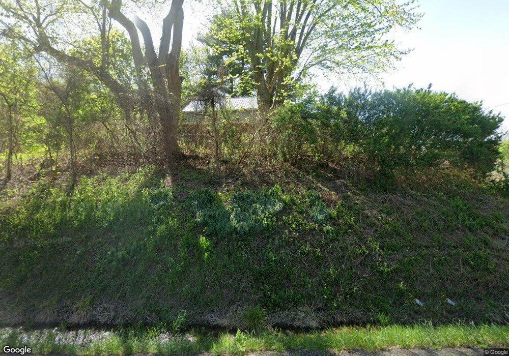
17985 State Route 16 Coshocton, OH 43812
Estimated Value: $164,344 - $268,000
2
Beds
1
Bath
1,800
Sq Ft
$119/Sq Ft
Est. Value
About This Home
This home is located at 17985 State Route 16, Coshocton, OH 43812 and is currently estimated at $214,836, approximately $119 per square foot. 17985 State Route 16 is a home located in Coshocton County with nearby schools including River View High School.
Ownership History
Date
Name
Owned For
Owner Type
Purchase Details
Closed on
Mar 31, 2010
Sold by
Lamp Amber D and Barros Kirk D
Bought by
Ross Timothy W
Current Estimated Value
Home Financials for this Owner
Home Financials are based on the most recent Mortgage that was taken out on this home.
Original Mortgage
$71,100
Outstanding Balance
$46,765
Interest Rate
4.75%
Mortgage Type
Adjustable Rate Mortgage/ARM
Estimated Equity
$168,071
Purchase Details
Closed on
Apr 16, 2001
Sold by
Arnold Christopher L
Bought by
Ross Timothy W
Purchase Details
Closed on
Aug 9, 1993
Sold by
Poorman Michael D
Bought by
Arnold Christopher L
Purchase Details
Closed on
Nov 1, 1990
Create a Home Valuation Report for This Property
The Home Valuation Report is an in-depth analysis detailing your home's value as well as a comparison with similar homes in the area
Home Values in the Area
Average Home Value in this Area
Purchase History
| Date | Buyer | Sale Price | Title Company |
|---|---|---|---|
| Ross Timothy W | -- | None Available | |
| Ross Timothy W | $76,000 | -- | |
| Ross Timothy W Jlrs | $76,000 | -- | |
| Arnold Christopher L | $48,000 | -- | |
| -- | $20,300 | -- |
Source: Public Records
Mortgage History
| Date | Status | Borrower | Loan Amount |
|---|---|---|---|
| Open | Ross Timothy W | $71,100 |
Source: Public Records
Tax History Compared to Growth
Tax History
| Year | Tax Paid | Tax Assessment Tax Assessment Total Assessment is a certain percentage of the fair market value that is determined by local assessors to be the total taxable value of land and additions on the property. | Land | Improvement |
|---|---|---|---|---|
| 2024 | $1,246 | $33,980 | $5,050 | $28,930 |
| 2023 | $1,246 | $27,644 | $3,532 | $24,112 |
| 2022 | $1,038 | $27,644 | $3,532 | $24,112 |
| 2021 | $1,038 | $27,644 | $3,532 | $24,112 |
| 2020 | $1,000 | $26,496 | $3,539 | $22,957 |
| 2019 | $1,023 | $26,496 | $3,539 | $22,957 |
| 2018 | $860 | $26,496 | $3,539 | $22,957 |
| 2017 | $776 | $22,128 | $3,154 | $18,974 |
| 2016 | $731 | $22,128 | $3,154 | $18,974 |
| 2015 | $366 | $22,128 | $3,154 | $18,974 |
| 2014 | $845 | $24,882 | $2,692 | $22,190 |
Source: Public Records
Map
Nearby Homes
- 19625 County Road 6
- 20101 Ohio 16
- 20178 County Road 6
- 20296 County Road 6
- 20413 Township Road 1184
- 15713 State Route 16
- 2269 Otsego Ave
- 631 Cottonwood St
- 49694 Township Road 146
- 18224 County Road 6
- 1851 Otsego Ave
- 1400 Pleasant Valley Dr
- 0 Pleasant Valley Dr
- 1810 Cassingham Hollow Dr
- 1730 Otsego Ave
- 1439 Tomahawk Ln
- 1680 Bow Ln
- 1425 Sleepy Hollow Dr
- 906 Cassingham Ave
- 1660 Knob Hill Dr
- 17940 Township Road 347
- 17992 Township Road 347
- 18010 Township Road 347
- 17916 Township Road 347
- 17967 Township Road 347 Unit 347
- 17967 Township Road 347
- 17940 State Route 16
- 18049 Township Road 347
- 17889 Township Road 347
- 18055 Township Road 347
- 17869 Township Road 347
- 18090 State Route 16
- 18112 Township Road 347
- 17985 Tr 347
- 18081 Township Road 347
- 18132 Township Road 347
- 17862 State Route 16
- 17811 Township Road 347
- 18046 Township Road 284
- 17850 Township Road 279
