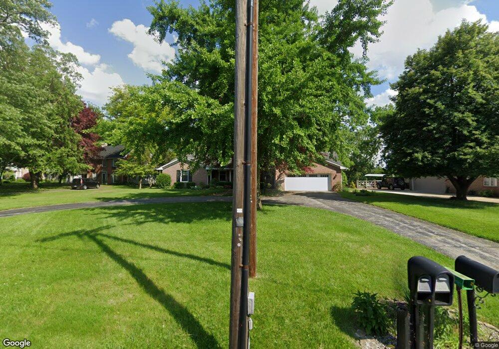
1799 Port Clinton Rd Fremont, OH 43420
Estimated Value: $234,000 - $340,846
3
Beds
3
Baths
2,587
Sq Ft
$115/Sq Ft
Est. Value
About This Home
This home is located at 1799 Port Clinton Rd, Fremont, OH 43420 and is currently estimated at $296,712, approximately $114 per square foot. 1799 Port Clinton Rd is a home located in Sandusky County with nearby schools including Fremont Ross High School, St. Ann Catholic School, and Bishop Hoffman Catholic School - This is St Joe's School now.
Ownership History
Date
Name
Owned For
Owner Type
Purchase Details
Closed on
Sep 10, 2001
Sold by
Tallman Jon L
Bought by
Dorr Robert R and Dorr Janet K
Current Estimated Value
Home Financials for this Owner
Home Financials are based on the most recent Mortgage that was taken out on this home.
Original Mortgage
$130,000
Interest Rate
7.03%
Mortgage Type
New Conventional
Purchase Details
Closed on
Aug 3, 1994
Sold by
Fuller Mary F
Bought by
Tallman Jon L and Tallman Carol A
Home Financials for this Owner
Home Financials are based on the most recent Mortgage that was taken out on this home.
Original Mortgage
$142,650
Interest Rate
8.53%
Mortgage Type
New Conventional
Purchase Details
Closed on
Dec 1, 1993
Sold by
Dorr Robert R and Dorr Janet K
Bought by
Dorr Robert R and Dorr Janet K
Purchase Details
Closed on
Sep 1, 1985
Bought by
Dorr Robert R and Dorr Janet K
Create a Home Valuation Report for This Property
The Home Valuation Report is an in-depth analysis detailing your home's value as well as a comparison with similar homes in the area
Home Values in the Area
Average Home Value in this Area
Purchase History
| Date | Buyer | Sale Price | Title Company |
|---|---|---|---|
| Dorr Robert R | $230,000 | -- | |
| Tallman Jon L | $179,350 | -- | |
| Dorr Robert R | -- | -- | |
| Dorr Robert R | -- | -- |
Source: Public Records
Mortgage History
| Date | Status | Borrower | Loan Amount |
|---|---|---|---|
| Closed | Dorr Robert R | $130,000 | |
| Previous Owner | Tallman Jon L | $142,650 |
Source: Public Records
Tax History Compared to Growth
Tax History
| Year | Tax Paid | Tax Assessment Tax Assessment Total Assessment is a certain percentage of the fair market value that is determined by local assessors to be the total taxable value of land and additions on the property. | Land | Improvement |
|---|---|---|---|---|
| 2024 | $3,535 | $103,750 | $15,720 | $88,030 |
| 2023 | $3,535 | $82,990 | $12,570 | $70,420 |
| 2022 | $2,968 | $82,990 | $12,570 | $70,420 |
| 2021 | $3,062 | $82,990 | $12,570 | $70,420 |
| 2020 | $2,694 | $72,980 | $12,570 | $60,410 |
| 2019 | $2,691 | $72,980 | $12,570 | $60,410 |
| 2018 | $2,695 | $72,980 | $12,570 | $60,410 |
| 2017 | $2,474 | $67,490 | $12,570 | $54,920 |
| 2016 | $2,179 | $67,490 | $12,570 | $54,920 |
| 2015 | $2,144 | $67,490 | $12,570 | $54,920 |
| 2014 | $2,198 | $66,120 | $12,320 | $53,800 |
| 2013 | $2,152 | $66,120 | $12,320 | $53,800 |
Source: Public Records
Map
Nearby Homes
- 1730 Port Clinton Rd Unit 41
- 1730 Port Clinton Rd
- 1730 Port Clinton Rd Unit 33
- 711 Bloom Rd
- 0 Sean Dr
- Outlot A Sean Dr
- 2100 Ohio 53
- 900 Spring St
- 612 2nd St
- 711 Rawson Ave
- 533 Sandusky Ave Unit 535
- 1441 White Ave
- 1227 White Ave
- 433 Sandusky Ave
- 516 N Front St
- 340 340 Sandusky Ave
- 818 Franklin Ave
- 224 Sandusky Ave Unit 226
- 427 N Clover St
- 1707 North St
- 1797 Port Clinton Rd
- 1801 Port Clinton Rd
- 1795 Port Clinton Rd
- 1815 Port Clinton Rd
- 1800 Port Clinton Rd
- 1789 Port Clinton Rd
- 0 Port Clinton Rd
- 1798 Port Clinton Rd
- 1806 Port Clinton Rd
- 1814 Port Clinton Rd
- 1820 Port Clinton Rd
- 1831 Port Clinton Rd
- 1781 Port Clinton Rd
- 500 Elizabeth St
- 1839 Port Clinton Rd
- 505 Elizabeth St
- 1830 Port Clinton Rd
- 1847 Port Clinton Rd
- 511 Elizabeth St
- 1838 Port Clinton Rd