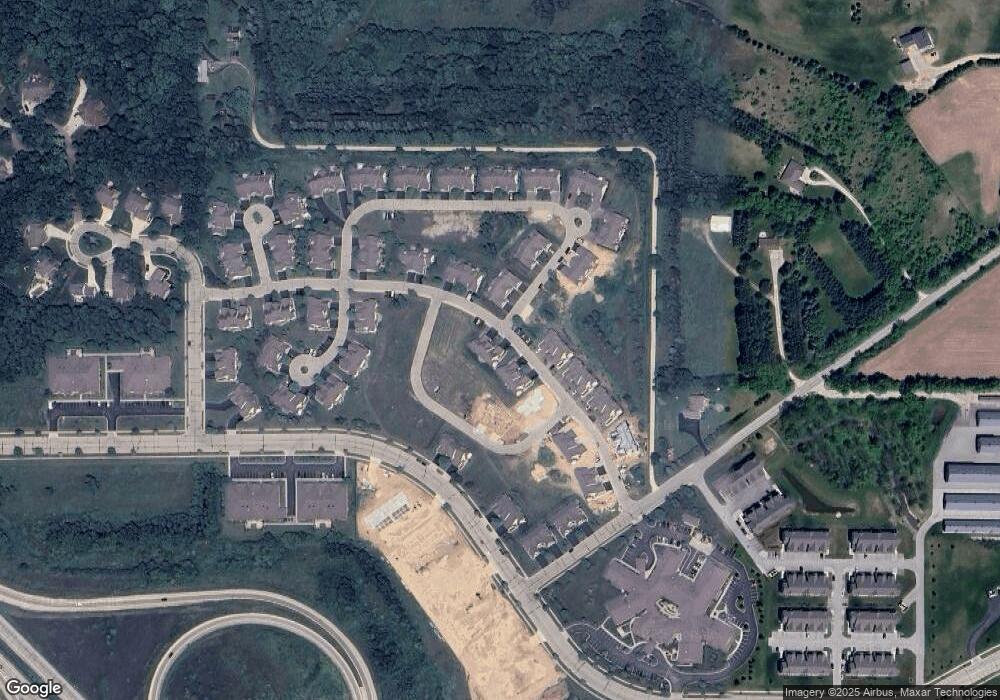
1799 Woodland Way Slinger, WI 53086
Estimated Value: $265,000 - $309,000
2
Beds
2
Baths
1,514
Sq Ft
$186/Sq Ft
Est. Value
About This Home
This home is located at 1799 Woodland Way, Slinger, WI 53086 and is currently estimated at $282,288, approximately $186 per square foot. 1799 Woodland Way is a home located in Washington County with nearby schools including Slinger High School and St Peter Elementary School.
Ownership History
Date
Name
Owned For
Owner Type
Purchase Details
Closed on
Feb 5, 2021
Sold by
Biedenbender Daniel
Bought by
Daniel L Biedenbender Family Trust
Current Estimated Value
Purchase Details
Closed on
May 11, 2016
Sold by
Red Arbor Pointe Llc
Bought by
Bledenbender Daniel L
Purchase Details
Closed on
Sep 18, 2013
Sold by
Cull David
Bought by
Red Arbor Pointe Llc
Purchase Details
Closed on
Oct 1, 2007
Sold by
Verrada Development Llc A Wisconsin Limi
Bought by
Cull David J
Create a Home Valuation Report for This Property
The Home Valuation Report is an in-depth analysis detailing your home's value as well as a comparison with similar homes in the area
Home Values in the Area
Average Home Value in this Area
Purchase History
| Date | Buyer | Sale Price | Title Company |
|---|---|---|---|
| Daniel L Biedenbender Family Trust | -- | None Available | |
| Bledenbender Daniel L | $128,000 | Chicago Title Company Sps Wi | |
| Red Arbor Pointe Llc | $139,000 | -- | |
| Cull David J | $152,000 | -- |
Source: Public Records
Tax History Compared to Growth
Tax History
| Year | Tax Paid | Tax Assessment Tax Assessment Total Assessment is a certain percentage of the fair market value that is determined by local assessors to be the total taxable value of land and additions on the property. | Land | Improvement |
|---|---|---|---|---|
| 2024 | $2,861 | $247,900 | $37,000 | $210,900 |
| 2023 | $2,451 | $178,600 | $28,500 | $150,100 |
| 2022 | $2,500 | $178,600 | $28,500 | $150,100 |
| 2021 | $2,395 | $178,600 | $28,500 | $150,100 |
| 2020 | $2,242 | $148,500 | $27,500 | $121,000 |
| 2019 | $2,224 | $148,500 | $27,500 | $121,000 |
| 2018 | $2,196 | $148,500 | $27,500 | $121,000 |
| 2017 | $2,032 | $132,400 | $26,000 | $106,400 |
| 2016 | $2,182 | $128,000 | $26,000 | $102,000 |
| 2015 | $2,231 | $128,000 | $26,000 | $102,000 |
| 2014 | $2,231 | $128,000 | $26,000 | $102,000 |
| 2013 | $2,881 | $162,900 | $38,300 | $124,600 |
Source: Public Records
Map
Nearby Homes
- 1832 Cedar Ridge Dr Unit 223-2
- 1867 Woodland Way Unit 421-4
- 1865 Woodland Way Unit 421-3
- 1863 Woodland Way Unit 421-2
- 420 Cobblestone Ct
- 1820 Stoney Ln
- 2472 Boulder Dr
- 2470 Boulder Dr
- 2466 Boulder Dr
- 2462 Boulder Dr
- 2456 Boulder Dr
- 2454 Boulder Dr
- 2491 Boulder Dr
- 325 Sandstone St
- 431 Sandstone St
- 447 Sandstone St
- 465 Sandstone St
- 376 Sandstone St
- 416 Sandstone St
- 322 Sandstone St
- 1794 Cedar Ridge Dr
- 1819 Woodland Way Unit 429-3
- 1818 Cedar Ridge Dr
- 1812 Cedar Ridge Dr
- 1810 Cedar Ridge Dr
- 1808 Cedar Ridge Dr
- 1808 Cedar Ridge Dr Unit 1808
- 1817 Woodland Way Unit 1817
- 1817 Woodland Way Unit 429-1
- 1832 Cedar Ridge Dr
- 1835 Cedar Ridge Dr
- 1835 Cedar Ridge Dr Unit 1835
- 1839 Cedar Ridge Dr
- 1834 Woodland Way
- 1830 Woodland Way
- 1811 Woodland Way
- 1838 Woodland Way
- 1867 Woodland Way
- 1881 Woodland Way Unit 420-1
- 1863 Woodland Way
