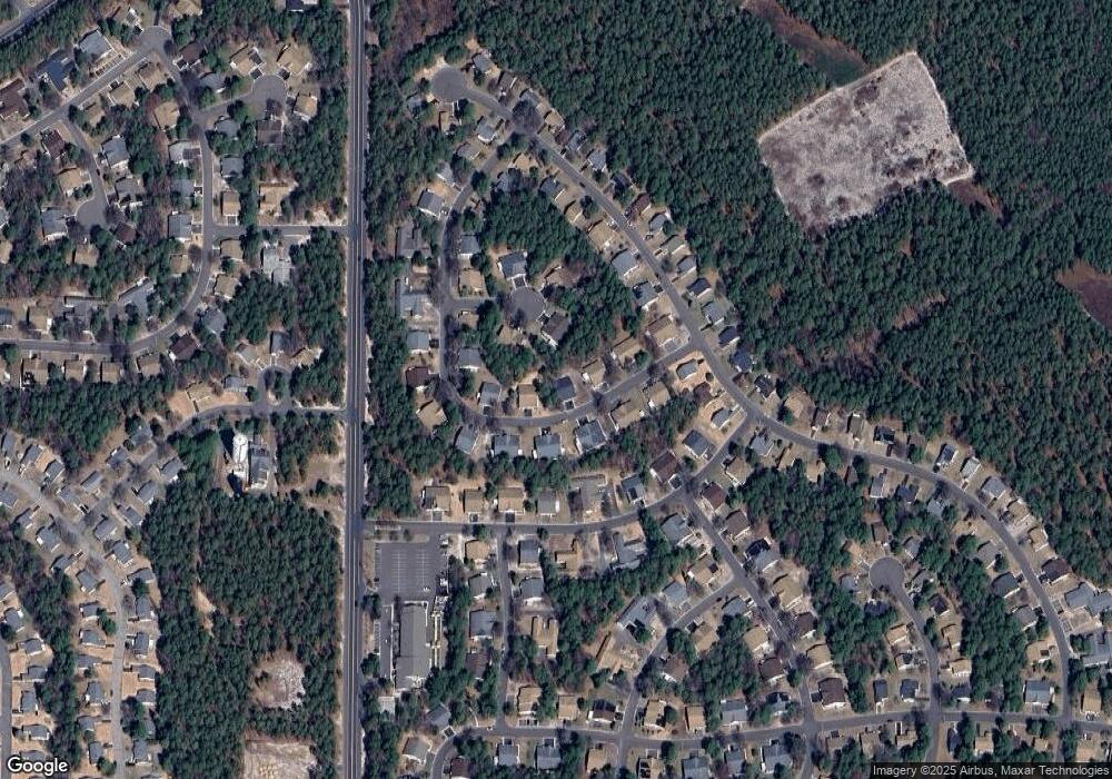
17A Maplewood Dr Whiting, NJ 08759
Manchester Township NeighborhoodEstimated Value: $186,000 - $195,000
2
Beds
1
Bath
1,009
Sq Ft
$189/Sq Ft
Est. Value
About This Home
This home is located at 17A Maplewood Dr, Whiting, NJ 08759 and is currently estimated at $190,290, approximately $188 per square foot. 17A Maplewood Dr is a home with nearby schools including Manchester Township High School.
Ownership History
Date
Name
Owned For
Owner Type
Purchase Details
Closed on
Feb 15, 2012
Sold by
New Jersey Housing & Mortgage Finance Ag
Bought by
Dwyer Thomas
Current Estimated Value
Purchase Details
Closed on
Jun 22, 2009
Sold by
Platt David W and Platt David Scott
Bought by
New Jersey Housing & Mortgage Finance Ag
Purchase Details
Closed on
Oct 14, 2004
Sold by
Woelfle Nancy
Bought by
Platt David W
Home Financials for this Owner
Home Financials are based on the most recent Mortgage that was taken out on this home.
Original Mortgage
$3,481
Interest Rate
5.74%
Mortgage Type
Stand Alone Second
Purchase Details
Closed on
Feb 20, 1997
Sold by
Schmidt Luise
Bought by
Buck Carl F
Home Financials for this Owner
Home Financials are based on the most recent Mortgage that was taken out on this home.
Original Mortgage
$38,000
Interest Rate
7.78%
Mortgage Type
Purchase Money Mortgage
Create a Home Valuation Report for This Property
The Home Valuation Report is an in-depth analysis detailing your home's value as well as a comparison with similar homes in the area
Home Values in the Area
Average Home Value in this Area
Purchase History
| Date | Buyer | Sale Price | Title Company |
|---|---|---|---|
| Dwyer Thomas | $32,500 | Counsellors Title Agency Inc | |
| New Jersey Housing & Mortgage Finance Ag | -- | None Available | |
| Platt David W | $98,000 | -- | |
| Buck Carl F | $45,000 | -- |
Source: Public Records
Mortgage History
| Date | Status | Borrower | Loan Amount |
|---|---|---|---|
| Previous Owner | Platt David W | $3,481 | |
| Previous Owner | Platt David W | $87,020 | |
| Previous Owner | Buck Carl F | $38,000 |
Source: Public Records
Tax History Compared to Growth
Tax History
| Year | Tax Paid | Tax Assessment Tax Assessment Total Assessment is a certain percentage of the fair market value that is determined by local assessors to be the total taxable value of land and additions on the property. | Land | Improvement |
|---|---|---|---|---|
| 2025 | $2,160 | $183,700 | $50,400 | $133,300 |
| 2024 | $2,050 | $88,000 | $8,700 | $79,300 |
Source: Public Records
Map
Nearby Homes
- 6 Pembroke Ln Unit C
- 4 B Ivy St Sec 52 Unit B
- 5 A Pembroke La
- 7B Canton Dr
- 18A Sunset Rd
- 25 Sunset Rd
- 12 C Canton Dr Sec Unit 51
- 12D Canton Dr Unit 51
- 56 Constitution Blvd
- 5A Bayberry Ln
- 5A Bayberry Ln Unit A
- 7A Drake St Unit B
- 7 B Drake St Sec 53
- 3B Drake St Unit 53
- 58 Milford Ave
- 17B Drake St
- 17 B Drake St Sec 54a
- 16 Hudson Pkwy
- 18 Hudson Pkwy
- 9 Greenleaf St
- 17B Maplewood Dr
- 17B Maplewood Dr Unit 52
- 26 Maplewood Dr
- 26 Maplewood Dr Unit 52
- 26 Maplewood Dr Unit A
- 15B Maplewood Dr
- 15B Maplewood Dr Unit B
- 15B Maplewood Dr Unit 52
- 19A Maplewood Dr
- 24 Maplewood Dr Unit A
- 15A Maplewood Dr
- 19B Maplewood Dr
- 19B Maplewood Dr Unit 52
- 2B Elmwood Ct
- 24B Maplewood Dr
- 22A Maplewood Dr
- 24A Maplewood Dr
- 1A Elmwood Ct
- 13B Maplewood Dr
- 13B Maplewood Dr Unit A
