17B Anchor Dr Unit 17B Key Largo, FL 33037
North Key Largo NeighborhoodEstimated Value: $2,529,234 - $3,149,000
2
Beds
2
Baths
1,186
Sq Ft
$2,326/Sq Ft
Est. Value
About This Home
This home is located at 17B Anchor Dr Unit 17B, Key Largo, FL 33037 and is currently estimated at $2,759,059, approximately $2,326 per square foot. 17B Anchor Dr Unit 17B is a home located in Monroe County with nearby schools including Key Largo School, Coral Shores High School, and The Academy at Ocean Reef.
Ownership History
Date
Name
Owned For
Owner Type
Purchase Details
Closed on
Apr 23, 2008
Sold by
Post George F and Post Sandra B
Bought by
Angelfish Equity Llc
Current Estimated Value
Purchase Details
Closed on
Aug 7, 1996
Sold by
Glaser Stanley J
Bought by
Wiseman Jannette G
Purchase Details
Closed on
Jul 1, 1996
Bought by
Angelfish Equity Llc
Purchase Details
Closed on
Aug 1, 1992
Bought by
Angelfish Equity Llc
Purchase Details
Closed on
May 1, 1986
Bought by
Angelfish Equity Llc
Purchase Details
Closed on
Feb 1, 1985
Bought by
Angelfish Equity Llc
Purchase Details
Closed on
Feb 1, 1973
Bought by
Angelfish Equity Llc
Create a Home Valuation Report for This Property
The Home Valuation Report is an in-depth analysis detailing your home's value as well as a comparison with similar homes in the area
Home Values in the Area
Average Home Value in this Area
Purchase History
| Date | Buyer | Sale Price | Title Company |
|---|---|---|---|
| Angelfish Equity Llc | $995,000 | Reef Title Company | |
| Wiseman Jannette G | $90,000 | -- | |
| Angelfish Equity Llc | $106,300 | -- | |
| Angelfish Equity Llc | $94,500 | -- | |
| Angelfish Equity Llc | $110,000 | -- | |
| Angelfish Equity Llc | $90,000 | -- | |
| Angelfish Equity Llc | $36,000 | -- |
Source: Public Records
Tax History Compared to Growth
Tax History
| Year | Tax Paid | Tax Assessment Tax Assessment Total Assessment is a certain percentage of the fair market value that is determined by local assessors to be the total taxable value of land and additions on the property. | Land | Improvement |
|---|---|---|---|---|
| 2024 | $8,455 | $2,095,666 | -- | $2,095,666 |
| 2023 | $8,455 | $1,587,579 | $0 | $1,587,579 |
| 2022 | $6,456 | $1,034,199 | $0 | $1,034,199 |
| 2021 | $5,607 | $735,062 | $0 | $735,062 |
| 2020 | $5,138 | $659,878 | $0 | $659,878 |
| 2019 | $4,873 | $630,699 | $0 | $630,699 |
| 2018 | $4,747 | $630,699 | $0 | $0 |
| 2017 | $4,120 | $508,508 | $0 | $0 |
| 2016 | $4,025 | $469,324 | $0 | $0 |
| 2015 | $4,009 | $452,639 | $0 | $0 |
| 2014 | $4,755 | $546,375 | $0 | $0 |
Source: Public Records
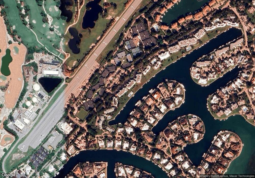
Map
Nearby Homes
- 18 Anchor Dr Unit B
- 64 Tarpon Ln
- 16 Osprey Ln
- 10 Cannon Point
- 17 Osprey Ln
- 9 Gulf Dr
- 365 S Harbor Dr
- 10 Mahogany Ln
- 31 S Carysfort Cir
- 0 167th & Card Sound Rd Unit F10511744
- 10987 County Road 905
- 0 NW 0 Unit A11794670
- 0 NW 0 Unit A11775209
- 410xx SW 122 Ave
- 400xx SW 122 Ave
- 0 Unit 616391
- 133 Valois Blvd
- 18 Palm Dr
- 25 N Ocean Dr
- 15 N Ocean Dr
- 17A Anchor Dr Unit 17A
- 27 27b Anchor Dr Unit 27B
- 27 Anchor Dr
- 28 Anchor Dr Unit A
- 22A Anchor Dr Unit 22A
- 28 Anchor Dr Unit A
- 18A Anchor Dr Unit 18A
- 28B Anchor Dr Unit 28B
- 27B Anchor Dr Unit 27B
- 27A Anchor Dr Unit 27A
- 25B Anchor Dr Unit 25B
- 25A Anchor Dr Unit 25A
- 24B Anchor Dr Unit 24B
- 24A Anchor Dr Unit 24A
- 23B Anchor Dr Unit 23B
- 23A Anchor Dr Unit 23A
- 22B Anchor Dr Unit 22B
- 20B Anchor Dr Unit 20B
- 20A Anchor Dr Unit 20A
- 19B Anchor Dr Unit 19B