17N661 Powers Rd Gilberts, IL 60136
Estimated Value: $483,000 - $744,759
--
Bed
--
Bath
3,211
Sq Ft
$187/Sq Ft
Est. Value
About This Home
This home is located at 17N661 Powers Rd, Gilberts, IL 60136 and is currently estimated at $601,586, approximately $187 per square foot. 17N661 Powers Rd is a home with nearby schools including Gilberts Elementary School, Dundee Middle School, and Hampshire High School.
Ownership History
Date
Name
Owned For
Owner Type
Purchase Details
Closed on
Sep 9, 2019
Sold by
Reid Nancy F and Reid Elizabeth J
Bought by
Reid Kane County Farm Llc
Current Estimated Value
Purchase Details
Closed on
Nov 18, 1996
Sold by
Benton James J
Bought by
Reid Howard E and Trust #101
Create a Home Valuation Report for This Property
The Home Valuation Report is an in-depth analysis detailing your home's value as well as a comparison with similar homes in the area
Home Values in the Area
Average Home Value in this Area
Purchase History
| Date | Buyer | Sale Price | Title Company |
|---|---|---|---|
| Reid Kane County Farm Llc | -- | None Available | |
| Reid Kane Country Farm Llc | -- | None Available | |
| Reid Howard E | -- | -- | |
| Reid Howard E | -- | -- |
Source: Public Records
Tax History Compared to Growth
Tax History
| Year | Tax Paid | Tax Assessment Tax Assessment Total Assessment is a certain percentage of the fair market value that is determined by local assessors to be the total taxable value of land and additions on the property. | Land | Improvement |
|---|---|---|---|---|
| 2024 | $10,279 | $174,015 | $19,306 | $154,709 |
| 2023 | $9,917 | $157,330 | $17,423 | $139,907 |
| 2022 | $9,496 | $145,002 | $16,008 | $128,994 |
| 2021 | $9,222 | $136,309 | $14,983 | $121,326 |
| 2020 | $9,063 | $128,993 | $14,507 | $114,486 |
| 2019 | $8,831 | $123,728 | $13,846 | $109,882 |
| 2018 | $8,606 | $116,062 | $12,935 | $103,127 |
| 2017 | $8,353 | $110,463 | $12,256 | $98,207 |
| 2016 | $8,299 | $105,101 | $11,606 | $93,495 |
| 2015 | -- | $99,212 | $10,909 | $88,303 |
| 2014 | -- | $107,411 | $9,281 | $98,130 |
| 2013 | -- | $109,360 | $9,431 | $99,929 |
Source: Public Records
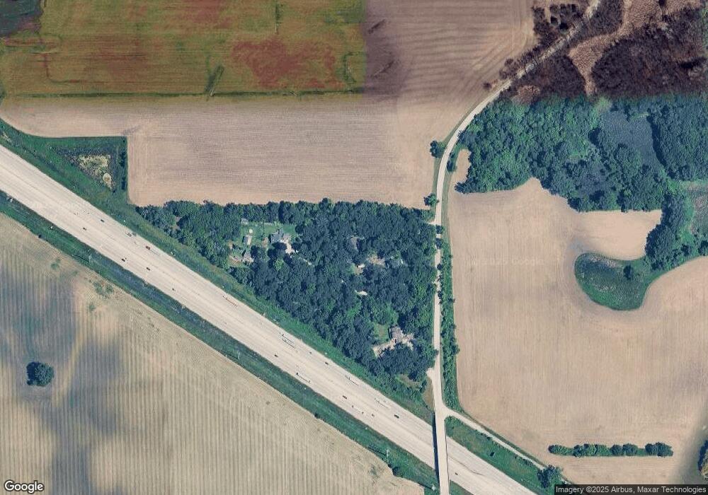
Map
Nearby Homes
- 18N647 Ridgefield Blvd
- 946 Glacial Falls Dr
- Lot 277033 Galligan Rd
- Lot 480017 Galligan Rd
- Lot 499001 Galligan Rd
- 70 acres Galligan Rd
- Lot 230001 Galligan Rd
- Lot 1 Koppie Rd
- Lot1 and Lot1A Koppie Rd
- Lot 1A Koppie Rd
- 215 Tollview Ct
- 2582 Skye Dr
- 2592 Skye Dr
- 789 Mesa Ln
- 799 Mesa Ln
- 820 Mesa Ln
- 809 Mesa Ln
- 830 Mesa Ln
- 819 Mesa Ln
- 829 Mesa Ln
- 17N765 Powers Rd
- 17N805 Powers Rd
- 17N837 Powers Rd
- 17N865 Powers Rd
- 17N893 Powers Rd
- 17N915 Powers Rd
- 40W457 Freeman Rd
- 40W247 Freeman Rd
- 17N943 Powers Rd
- 40W347 Freeman Rd
- 40W433 Freeman Rd
- 40W385 Freeman Rd
- 40W407 Freeman Rd
- 40W301 Freeman Rd
- 40W518 Freeman Rd
- 40W809 Freeman Rd
- 18N080 Powers Rd
- 40W728 Freeman Rd
- 40W674 Freeman Rd
- 40W610 Freeman Rd