18&19 Paddy Creek Rd Kennebunkport, ME 04046
Cape Porpoise NeighborhoodEstimated Value: $1,681,515 - $2,049,000
4
Beds
2
Baths
2,151
Sq Ft
$866/Sq Ft
Est. Value
About This Home
This home is located at 18&19 Paddy Creek Rd, Kennebunkport, ME 04046 and is currently estimated at $1,863,629, approximately $866 per square foot. 18&19 Paddy Creek Rd is a home located in York County with nearby schools including Kennebunk High School.
Ownership History
Date
Name
Owned For
Owner Type
Purchase Details
Closed on
Sep 6, 2024
Sold by
Matthews Sheila
Bought by
Susan S Slane Ret and Slane
Current Estimated Value
Purchase Details
Closed on
Jul 1, 2016
Sold by
Cape Porpoise Village Nt and Fraser
Bought by
Ballard Matthew and Ballard Lisa
Purchase Details
Closed on
Dec 14, 2015
Sold by
Brook Eben C and Brook Megan
Bought by
Cape Porpoise Village Nt and Fraser
Create a Home Valuation Report for This Property
The Home Valuation Report is an in-depth analysis detailing your home's value as well as a comparison with similar homes in the area
Home Values in the Area
Average Home Value in this Area
Purchase History
| Date | Buyer | Sale Price | Title Company |
|---|---|---|---|
| Susan S Slane Ret | -- | None Available | |
| Susan S Slane Ret | -- | None Available | |
| Ballard Matthew | -- | -- | |
| Ballard Matthew | -- | -- | |
| Cape Porpoise Village Nt | -- | -- | |
| Cape Porpoise Village Nt | -- | -- |
Source: Public Records
Tax History Compared to Growth
Tax History
| Year | Tax Paid | Tax Assessment Tax Assessment Total Assessment is a certain percentage of the fair market value that is determined by local assessors to be the total taxable value of land and additions on the property. | Land | Improvement |
|---|---|---|---|---|
| 2025 | $12,992 | $1,888,400 | $1,783,200 | $105,200 |
| 2024 | $12,275 | $1,888,400 | $1,783,200 | $105,200 |
| 2023 | $11,913 | $1,906,000 | $1,783,200 | $122,800 |
| 2022 | $11,428 | $1,904,700 | $1,783,200 | $121,500 |
| 2021 | $6,312 | $678,500 | $563,000 | $115,500 |
| 2020 | $6,199 | $678,500 | $563,000 | $115,500 |
| 2019 | $6,412 | $678,500 | $563,000 | $115,500 |
| 2018 | $5,944 | $678,500 | $563,000 | $115,500 |
| 2017 | $5,903 | $678,500 | $563,000 | $115,500 |
| 2016 | $5,618 | $678,500 | $563,000 | $115,500 |
| 2015 | $5,147 | $678,500 | $563,000 | $115,500 |
| 2014 | $5,177 | $678,500 | $563,000 | $115,500 |
Source: Public Records
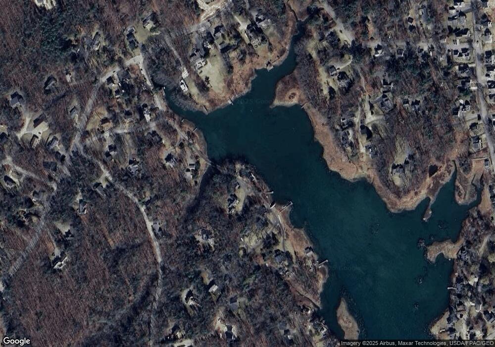
Map
Nearby Homes
- 0 Wildes District Rd
- 5 Harwood Dr
- 142 Main St Unit 1&2
- 11 Harbor Dr
- 160 Main St
- 3 Mckenney Ln
- 12 Eel Bridge Ln
- 22 Pier Rd Unit 2
- 22 Pier Rd Unit 1
- 18 Nehoc Ln
- 5 Creekside Unit 3
- 2 Creekside Unit 2
- 7 Saddle Way
- 36 Roberts Ln
- 6 Roberts Ln
- 298 Ocean Ave
- 24 School St
- 17 Seaview Ave
- 17 Juniper Knoll
- 0 Campbell Ln Unit 1630141
- 18 Paddy Creek Rd
- 19 Paddy Creek Rd
- 21 Paddy Creek Rd
- 15 Paddy Creek Rd
- 11 Paddy Creek Rd
- 16 Lands End Rd
- 29 Paddy Creek Rd
- 23 Paddy Creek Rd
- 10 Ward Road Extension
- 9 Paddy Creek Rd
- 10 Lands End Rd
- 12 Ward Road Extension
- 14 Land's End Rd
- 14 Lands End Rd
- 12 Ward Rd
- Lot 10 Portland Rd
- 155 Wildes District Rd
- 159 Wildes District Rd
- 5 Paddy Creek Rd
- 18 Lands End Rd