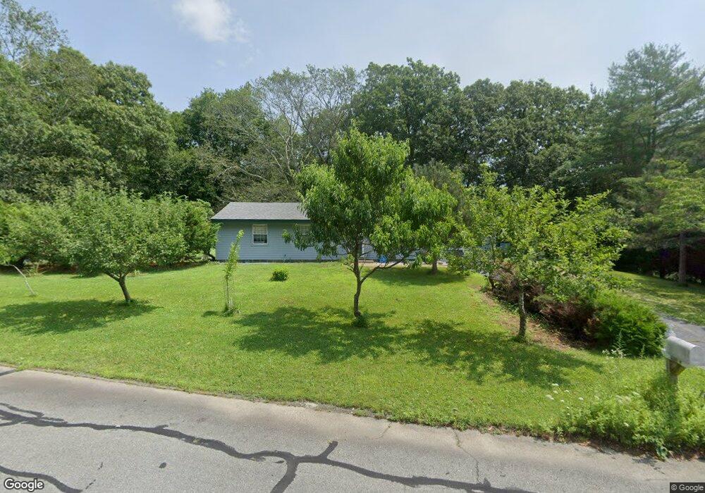
18 Algonquin Dr South Dartmouth, MA 02748
North Apponagansett NeighborhoodEstimated Value: $478,000 - $511,000
3
Beds
1
Bath
1,316
Sq Ft
$375/Sq Ft
Est. Value
About This Home
This home is located at 18 Algonquin Dr, South Dartmouth, MA 02748 and is currently estimated at $492,972, approximately $374 per square foot. 18 Algonquin Dr is a home located in Bristol County with nearby schools including Dartmouth High School, Our Sister's School, and Bishop Stang High School.
Ownership History
Date
Name
Owned For
Owner Type
Purchase Details
Closed on
Dec 22, 2003
Sold by
Powell Ft
Bought by
Bevilacqua Carl H
Current Estimated Value
Home Financials for this Owner
Home Financials are based on the most recent Mortgage that was taken out on this home.
Original Mortgage
$196,000
Interest Rate
5.96%
Mortgage Type
Purchase Money Mortgage
Purchase Details
Closed on
Feb 15, 1989
Sold by
Degroot Thomas J
Bought by
Powell Bernard J
Create a Home Valuation Report for This Property
The Home Valuation Report is an in-depth analysis detailing your home's value as well as a comparison with similar homes in the area
Home Values in the Area
Average Home Value in this Area
Purchase History
| Date | Buyer | Sale Price | Title Company |
|---|---|---|---|
| Bevilacqua Carl H | $245,000 | -- | |
| Powell Bernard J | $118,500 | -- |
Source: Public Records
Mortgage History
| Date | Status | Borrower | Loan Amount |
|---|---|---|---|
| Open | Powell Bernard J | $218,900 | |
| Closed | Powell Bernard J | $231,500 | |
| Closed | Powell Bernard J | $196,000 | |
| Closed | Powell Bernard J | $24,500 |
Source: Public Records
Tax History Compared to Growth
Tax History
| Year | Tax Paid | Tax Assessment Tax Assessment Total Assessment is a certain percentage of the fair market value that is determined by local assessors to be the total taxable value of land and additions on the property. | Land | Improvement |
|---|---|---|---|---|
| 2025 | $2,908 | $337,700 | $137,700 | $200,000 |
| 2024 | $2,849 | $327,800 | $137,700 | $190,100 |
| 2023 | $2,838 | $309,500 | $137,700 | $171,800 |
| 2022 | $2,782 | $281,000 | $137,700 | $143,300 |
| 2021 | $2,783 | $268,600 | $133,600 | $135,000 |
| 2020 | $149 | $261,300 | $132,300 | $129,000 |
| 2019 | $2,646 | $254,400 | $127,000 | $127,400 |
| 2018 | $167 | $242,500 | $129,600 | $112,900 |
| 2017 | $2,312 | $230,700 | $119,800 | $110,900 |
| 2016 | $2,133 | $209,900 | $105,900 | $104,000 |
| 2015 | $2,073 | $204,400 | $99,000 | $105,400 |
| 2014 | $2,034 | $199,200 | $96,200 | $103,000 |
Source: Public Records
Map
Nearby Homes
- 6 Jacob Dr
- 5 Samosett Dr
- 3 Mishawum Dr
- 360 Russells Mills Rd
- 33 Rosewood Terrace
- 29 Elizabeth Ct
- 75 Country Way Unit 75
- 212 Rockland St
- 34 Country Way
- 25 Westwood Dr
- 10 Westview Dr
- 21 Avis St
- 6 Walters Way
- 1004 Allen St
- 76 Shipyard Ln
- 48 Wilson St
- 14 Westview Dr
- 179 Rockland St
- 17 Eighth Green Dr
- 98 Mccabe St
- 17 Algonquin Dr
- 16 Algonquin Dr
- 15 Algonquin Dr
- 28 W Sherman St
- 14 Algonquin Dr
- 13 Algonquin Dr
- 11 Algonquin Dr
- 12 Algonquin Dr
- 10 Sagamore Dr
- 9 Algonquin Dr
- 10 Algonquin Dr
- 7 Algonquin Dr
- 8 Algonquin Dr
- 5 Algonquin Dr
- 24 W Sherman St
- 6 Algonquin Dr
- 34 Sagamore Dr
- 32 Sagamore Dr
- 23 W Sherman St
- 30 Sagamore Dr