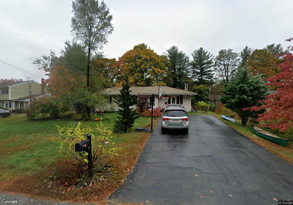
18 Allen Ln Ipswich, MA 01938
Estimated Value: $667,125 - $732,000
4
Beds
2
Baths
1,600
Sq Ft
$435/Sq Ft
Est. Value
About This Home
This home is located at 18 Allen Ln, Ipswich, MA 01938 and is currently estimated at $696,781, approximately $435 per square foot. 18 Allen Ln is a home located in Essex County with nearby schools including Ipswich High School, Clark School, and North Shore Montessori School.
Ownership History
Date
Name
Owned For
Owner Type
Purchase Details
Closed on
Mar 22, 2007
Sold by
Jones Michael A
Bought by
Mcnamara Adam M
Current Estimated Value
Home Financials for this Owner
Home Financials are based on the most recent Mortgage that was taken out on this home.
Original Mortgage
$375,000
Outstanding Balance
$227,851
Interest Rate
6.33%
Mortgage Type
Purchase Money Mortgage
Estimated Equity
$468,930
Purchase Details
Closed on
Dec 24, 1987
Sold by
Jones Travis A
Bought by
Jones Michael A
Create a Home Valuation Report for This Property
The Home Valuation Report is an in-depth analysis detailing your home's value as well as a comparison with similar homes in the area
Home Values in the Area
Average Home Value in this Area
Purchase History
| Date | Buyer | Sale Price | Title Company |
|---|---|---|---|
| Mcnamara Adam M | $375,000 | -- | |
| Mcnamara Adam M | $375,000 | -- | |
| Jones Michael A | $161,000 | -- |
Source: Public Records
Mortgage History
| Date | Status | Borrower | Loan Amount |
|---|---|---|---|
| Open | Jones Michael A | $375,000 | |
| Closed | Jones Michael A | $375,000 |
Source: Public Records
Tax History Compared to Growth
Tax History
| Year | Tax Paid | Tax Assessment Tax Assessment Total Assessment is a certain percentage of the fair market value that is determined by local assessors to be the total taxable value of land and additions on the property. | Land | Improvement |
|---|---|---|---|---|
| 2025 | $6,102 | $547,300 | $317,500 | $229,800 |
| 2024 | $6,083 | $534,500 | $317,500 | $217,000 |
| 2023 | $6,150 | $502,900 | $292,800 | $210,100 |
| 2022 | $5,847 | $454,700 | $268,100 | $186,600 |
| 2021 | $5,666 | $428,600 | $255,800 | $172,800 |
| 2020 | $5,595 | $399,100 | $243,400 | $155,700 |
| 2019 | $5,468 | $388,100 | $231,100 | $157,000 |
| 2018 | $5,213 | $366,100 | $218,700 | $147,400 |
| 2017 | $4,867 | $343,000 | $201,100 | $141,900 |
| 2016 | $4,785 | $322,200 | $201,100 | $121,100 |
| 2015 | $4,173 | $308,900 | $194,000 | $114,900 |
Source: Public Records
Map
Nearby Homes
- 1 Court Ln
- 3 Choate Ln
- 75 Country Club Way
- 196 Country Club Way
- 8 Longmeadow Dr Unit 14
- 16 Cedarwood Ln
- 47 Prospect St
- 29 Charlotte Rd
- 4 Sheppards Way
- 61 Maplecroft Ln
- 19 Morphew Ln Unit 2
- 46 Buttonwood
- 30 Buttonwood
- 147 Linebrook Rd
- 78 Wethersfield St
- 45 Pineswamp Rd
- 76-78 Daniels Rd
- 21 Hammond St
- 43 Willowdale Rd
- 79 Spencer Knowles Rd