18 Allen Ln Prudence Island, RI 02872
Prudence Island NeighborhoodEstimated Value: $348,000 - $377,773
2
Beds
1
Bath
600
Sq Ft
$612/Sq Ft
Est. Value
About This Home
This home is located at 18 Allen Ln, Prudence Island, RI 02872 and is currently estimated at $367,193, approximately $611 per square foot. 18 Allen Ln is a home located in Newport County with nearby schools including Portsmouth High School.
Ownership History
Date
Name
Owned For
Owner Type
Purchase Details
Closed on
Jul 5, 2018
Sold by
Heidi L Lane Lt
Bought by
Connors Paul A and Bernardo Cecilia A
Current Estimated Value
Home Financials for this Owner
Home Financials are based on the most recent Mortgage that was taken out on this home.
Original Mortgage
$137,200
Outstanding Balance
$119,167
Interest Rate
4.6%
Mortgage Type
New Conventional
Estimated Equity
$248,026
Purchase Details
Closed on
Aug 31, 2015
Sold by
Heidi Lane Ret
Bought by
Heidi J Lane Lt
Purchase Details
Closed on
Sep 17, 2010
Sold by
Sandra Gaboriault Joseph and Sandra Gaborianlt
Bought by
Lane Heidi J
Home Financials for this Owner
Home Financials are based on the most recent Mortgage that was taken out on this home.
Original Mortgage
$124,000
Interest Rate
4.51%
Mortgage Type
Purchase Money Mortgage
Create a Home Valuation Report for This Property
The Home Valuation Report is an in-depth analysis detailing your home's value as well as a comparison with similar homes in the area
Home Values in the Area
Average Home Value in this Area
Purchase History
| Date | Buyer | Sale Price | Title Company |
|---|---|---|---|
| Connors Paul A | $171,500 | -- | |
| Heidi J Lane Lt | -- | -- | |
| Lane Heidi J | $155,000 | -- |
Source: Public Records
Mortgage History
| Date | Status | Borrower | Loan Amount |
|---|---|---|---|
| Open | Connors Paul A | $137,200 | |
| Previous Owner | Lane Heidi J | $124,000 |
Source: Public Records
Tax History Compared to Growth
Tax History
| Year | Tax Paid | Tax Assessment Tax Assessment Total Assessment is a certain percentage of the fair market value that is determined by local assessors to be the total taxable value of land and additions on the property. | Land | Improvement |
|---|---|---|---|---|
| 2025 | $2,704 | $203,600 | $89,600 | $114,000 |
| 2024 | $2,683 | $203,600 | $89,600 | $114,000 |
| 2023 | $2,602 | $203,600 | $89,600 | $114,000 |
| 2022 | $2,334 | $150,000 | $69,600 | $80,400 |
| 2021 | $2,297 | $150,000 | $69,600 | $80,400 |
| 2020 | $2,261 | $150,000 | $69,600 | $80,400 |
| 2019 | $2,442 | $148,900 | $76,000 | $72,900 |
| 2018 | $2,378 | $148,900 | $76,000 | $72,900 |
| 2017 | $2,296 | $148,900 | $76,000 | $72,900 |
| 2016 | $2,198 | $137,400 | $76,000 | $61,400 |
| 2015 | $2,171 | $137,400 | $76,000 | $61,400 |
| 2014 | $2,171 | $137,400 | $76,000 | $61,400 |
Source: Public Records
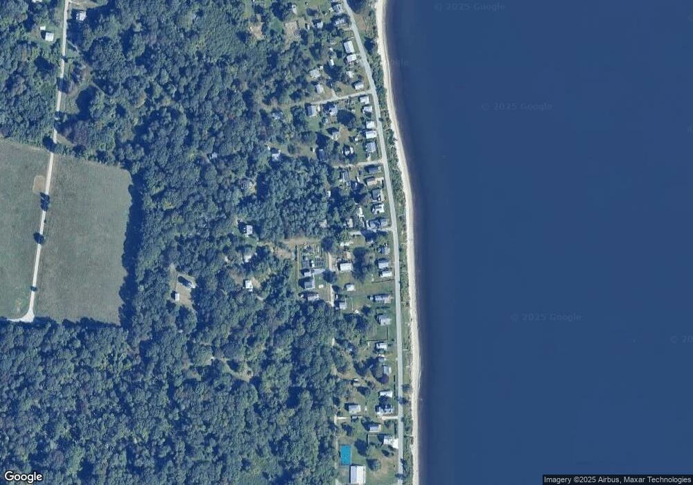
Map
Nearby Homes
- 176 Daniel Ave
- 125 Homestead Ave
- 272 Carnegie Harbor Dr
- 178 Carnegie Harbor Dr
- 1 Tower Dr Unit 101
- 1 Tower Dr Unit 406
- 1 Tower Dr Unit 302
- 1 Tower Dr Unit 1802
- 1 Tower Dr Unit 1502
- 1 Tower Dr Unit 1806
- 59 Carnegie Harbor Dr
- 4 Lookout Ln
- 4 Lookout Ln Unit 1
- 37 Souza Way
- 26 Westwood Dr
- 1 Lagoon Rd Unit 145
- 95 Devin Dr
- 125 Corys Ln
- 125 Corys Ln Unit Resolute
- 165 Newport Harbor Dr
- 17 Allen Ln
- 417 Governor Paine Rd
- 415 Governor Paine Rd
- 726 Narragansett Ave
- 732 Narragansett Ave
- 712 Narragansett Ave
- 0 Allen Ln
- 401 Governor Paine Rd
- 704 Narragansett Ave
- 694 Narragansett Ave
- 736 Narragansett Ave
- 686 Narragansett Ave
- 36 Brown Ln
- 27 Pear Tree Ln
- 026 Brown Ln
- 0 Narragansett Ave
- 406 Governor Paine Rd
- 13 Pear Tree Ln
- 016 Brown Ln
- 63 Allen Ln